There's No Trail on the Lost Coast
On paper, the Lost Coast is the one trail you cannot get lost on. You walk north to south, which means the ocean is on your right the entire way. Keep the Pacific off your right shoulder and you are, by definition, heading the right direction. What could be simpler? The catch is that the beach is not always walkable, and where it isn't, the route climbs — up and over high bluffs, then back down to the shore — and up on those bluffs the trail is not always there.
Down on the sand the navigation really is that simple: keep the ocean on your right and walk south. It's the parts where you can't stay on the sand that get interesting.
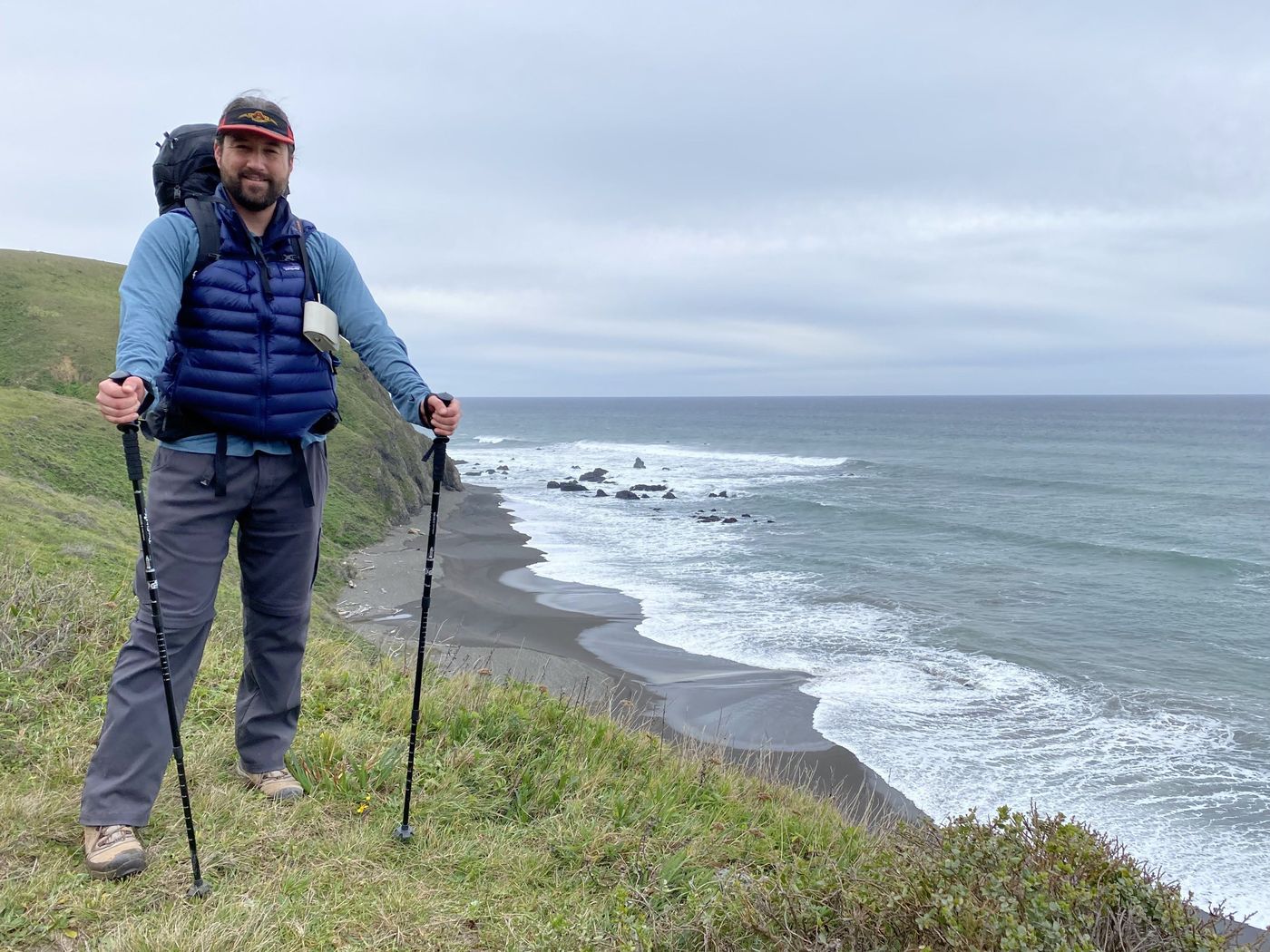
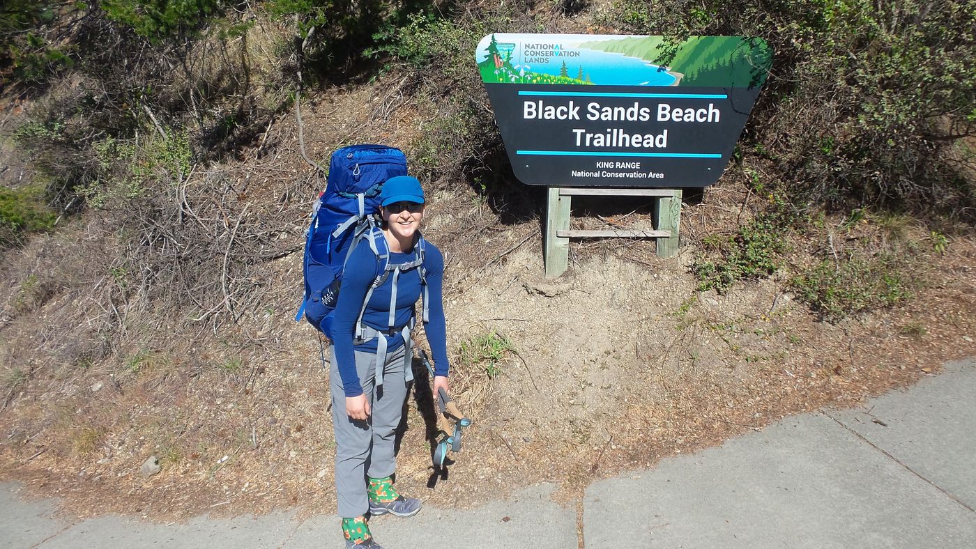
This was February, the off-season, when the King Range belongs to the storms and the elephant seals and almost nobody else. We left the car at Black Sands Beach, the southern end, and caught the shuttle up the long dirt road to the Mattole trailhead at the north — the standard way to do it, so you finish the walk at your own car instead of a long way from it. From there it's about twenty-five miles of roadless coast back south, the longest undeveloped stretch of shoreline left in the lower forty-eight. The plan was three days of walking, north to south, ocean on the right. I figured route-finding would be the least of our worries.
Day 1 Walking off the edge of the map
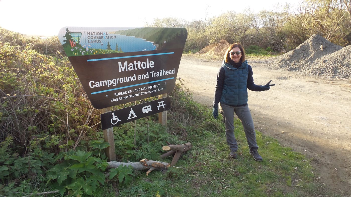
Mattole, the north trailhead. The last sign we'd see for a day and a half.
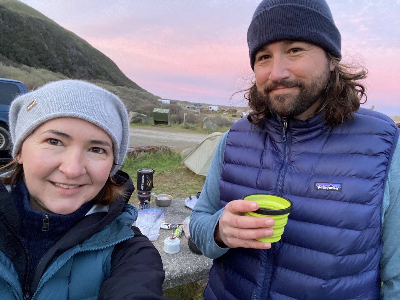
First night, camped right at the Mattole trailhead before we'd walked a single mile. That's not coffee in my cup — a little bourbon to toast the start of the trip.
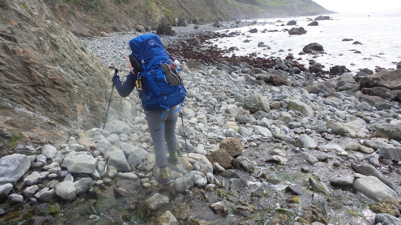
We camped that first night at the Mattole trailhead itself and set out the next morning. From Mattole the "trail" is just the direction south. The ground keeps changing under your boots — soft black sand in places, fields of round cobble in others, and the occasional pile of driftwood logs the size of telephone poles to clamber over — but the rule stays the same: keep the ocean on your right and keep going. The first stretch took us past the old Punta Gorda Lighthouse, squat and white on a green bench above the surf, and past a sprawl of elephant seals lounging on the beach like enormous grey sandbags, snorting and shifting and entirely unbothered by us.
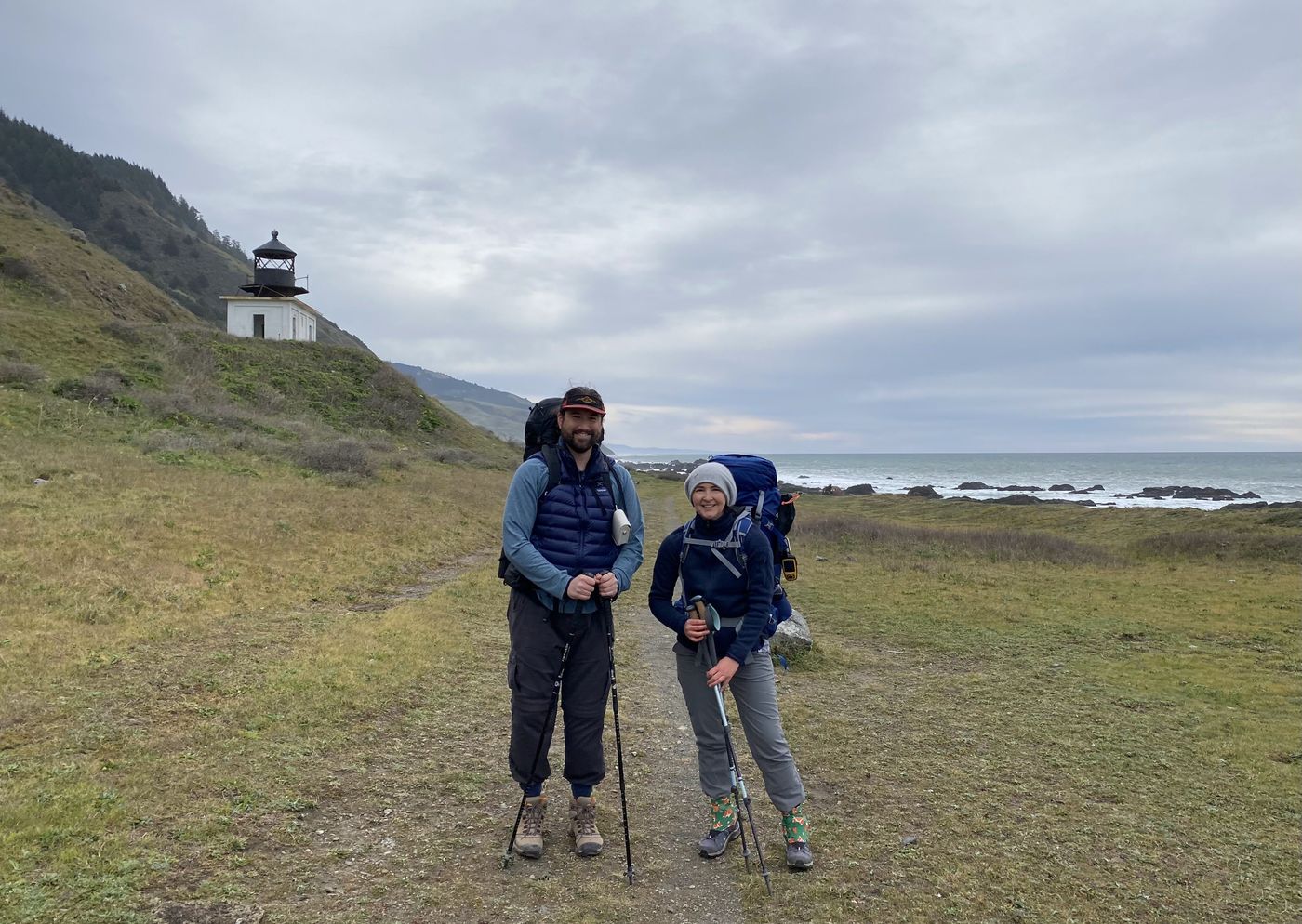
Punta Gorda Lighthouse. Decommissioned in 1951; still the most reassuring man-made thing for miles.

The locals. You give them a very wide berth and they ignore you completely.
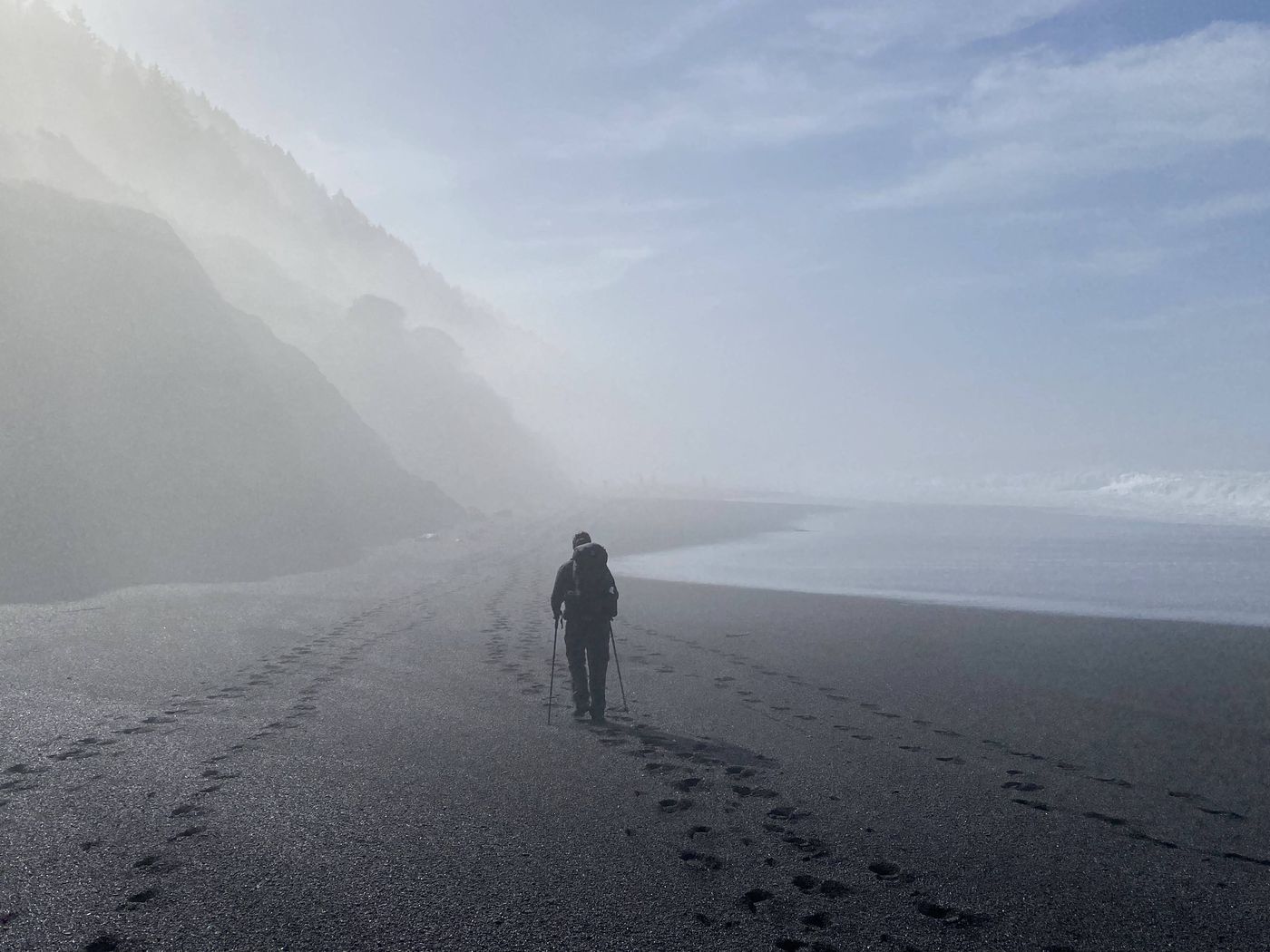
For long stretches the navigation really is as easy as advertised — ocean on the right, one foot in front of the other. But the coast doesn't let you stay on the sand the whole way. Cliffs push right down to the water, the beach pinches out, and the route is forced up onto the headlands. You climb a steep bluff trail away from the shore, traverse the green benches up top, and then drop back down to the beach on the far side. Sand, surf, headland, climb, repeat. That rhythm is the whole trail. It's also where the simple rule stops being simple.
The tide A trail that closes twice a day
Cobble at the base of the cliffs. There are stretches here you do not want to be standing on at the wrong hour.
There's a second reason the Lost Coast humbles people: several sections are passable only at low tide. The cliffs come straight down to the water, and when the tide is in there is no beach — just rock and surf and nowhere to go. People have been caught in those zones. The route, in other words, isn't only a line in space; it's a line in time, and getting it wrong isn't a matter of a longer walk. We planned our days around the tide chart, started early, and pushed through the impassable stretches with hours to spare — camping at Spanish Flat the second night and Gitchell Creek the third. That part we got right.
The bluffs Where the trail isn't
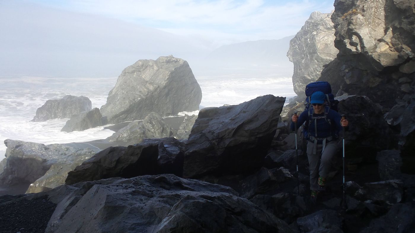
Down on the sand, the ocean keeps you honest. Up on a bluff, two hundred feet above the surf, that handrail is suddenly a long way off to your right and useless — "ocean on the right" doesn't tell you a thing when the problem is the cliff between you and it. Up there the route is a faint use-trail braided through the grass and brush, and half the time it isn't where you expect it.
Up on the benches. The ocean is still on your right — but now “right” is a cliff edge, not a direction you can walk.
Here's the thing nobody tells you until you're standing on it: the Lost Coast is not a surveyed, maintained, blazed trail like the ones in a national park. It's dynamic. The whole coast is actively coming apart — winter storms tear out sections, bluffs slump into the sea, creek mouths migrate, the brush reclaims the benches. The line hikers walked last year may be gone or rerouted this year. There are stretches where you're following the faint braid of everyone who came before you, and stretches where that braid just fades into the hillside and leaves you guessing which gully actually drops back down to the sand.
That's exactly where we kept losing it. You top out on a bluff, the path forks or dissolves into the grass, and you commit to whatever looks most worn — only to find yourself sidehilling across a slope that's quietly pushing you inland, or standing above a drop with no safe way down. When the fog rolled in off the water it only made it worse, softening the few landmarks you had left. None of it was dramatic. But every time the trail vanished under us, there was that small cold beat of wait — are we still on it?
The rule that keeps you found on the beach abandons you on the bluff. And the trail up there changes every winter — it doesn't care what the map used to say.
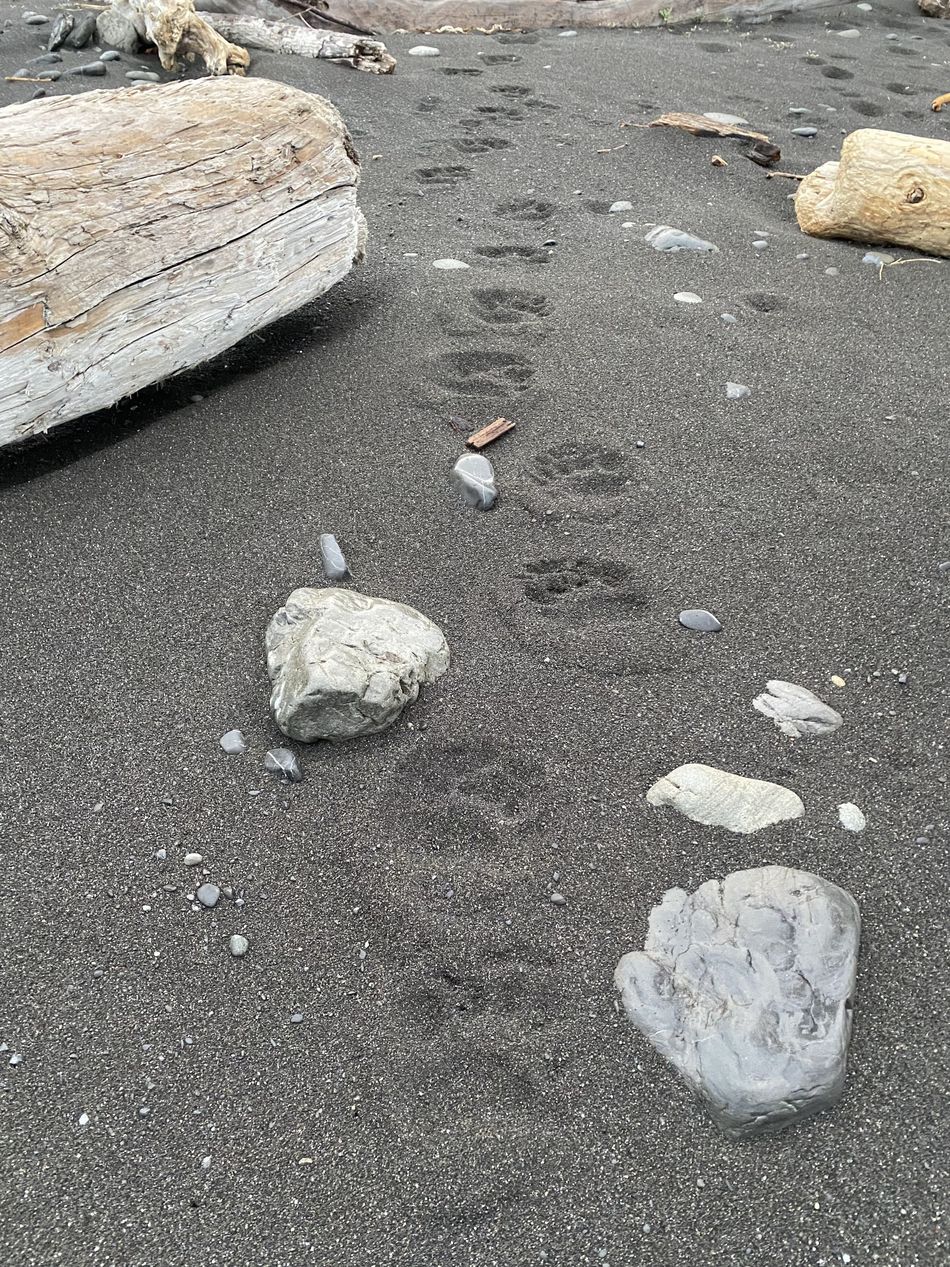
Bear tracks in the morning sand. A good reminder of whose ground this actually is.
We had the route loaded on a phone, and that's the only reason the bluffs were a nuisance and not a problem — every time the path disappeared, one of us would check the little blue dot against the line and pick our way back onto it. But you have to remember to look. With cold hands, a heavy pack, and a use-trail that keeps lying to you, "check the map" is exactly the habit that slips at the worst moment. What I kept wishing for, up on those benches, was something that would check for me — that would notice I'd wandered off the line and say so, instead of waiting for me to wonder.
Day 3 Black sand, blue sky
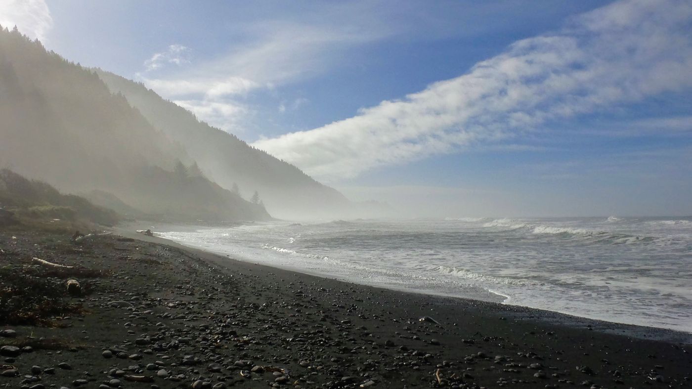
The fog burned off the way it always eventually does, and the coast handed back every one of its landmarks at once.
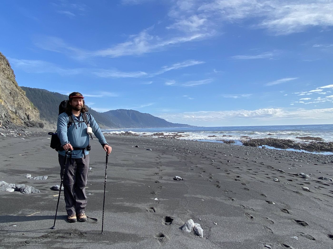
The last morning the fog burned off and the Lost Coast turned into a postcard — black sand stretching to a blue horizon, sea stacks standing in the surf, the King Range green and sharp behind us. It's almost unfair how quickly a place like this forgives you. We walked the final miles into Black Sands Beach in full sun, legs wrecked, completely happy.
Black Sands Beach, the southern terminus. Twenty-five miles of coast behind us.
The lesson Something that watches the line for you
Every feature in this app came from a specific moment on a specific trail. The off-trail alert came from those Lost Coast bluffs — from the realization that staying on route isn't only about having the map. It's about noticing, in the exact moment the trail disappears under you, that you've stepped off the line. That's when people get into trouble: not when they're studying the map, but when the path quietly stopped being where they assumed it was.
So Backpackers Friend watches the line for you. Load your route before you leave — even an unpredictable, ever-changing one like the Lost Coast — and while you're tracking, the app keeps measuring how far you are from it. Wander far enough off course — up a wrong bluff, into the brush, down the wrong gully — and it alerts you, with a notification and a vibration that works even with the phone in your pocket and the screen locked. You don't have to remember to check. It checks, and it taps you on the shoulder when it matters.
It will not get you out of a place like the Lost Coast. You still have to read the tide chart, start early, and respect the ocean. But it gives you the one thing a dynamic trail takes away: the certainty that even when the path itself has moved, if you drift off your line, something will say so before the wilderness does.
Don't drift off course
Backpackers Friend lets you build a route on a topo map before you leave, then watches your position against it while you hike — off-trail alerts notify and vibrate the moment you wander too far, even with the screen locked. It works completely offline, so it keeps watching with no signal. Free to get started, no account required.
Download free on the App Store