Battery Saver
Logs your whole route automatically, with nothing to manage.
- TrackingAutomatic, every few minutes
- Off-trail alertsChecked every few minutes
- Trade-offSnaps to trail between checks
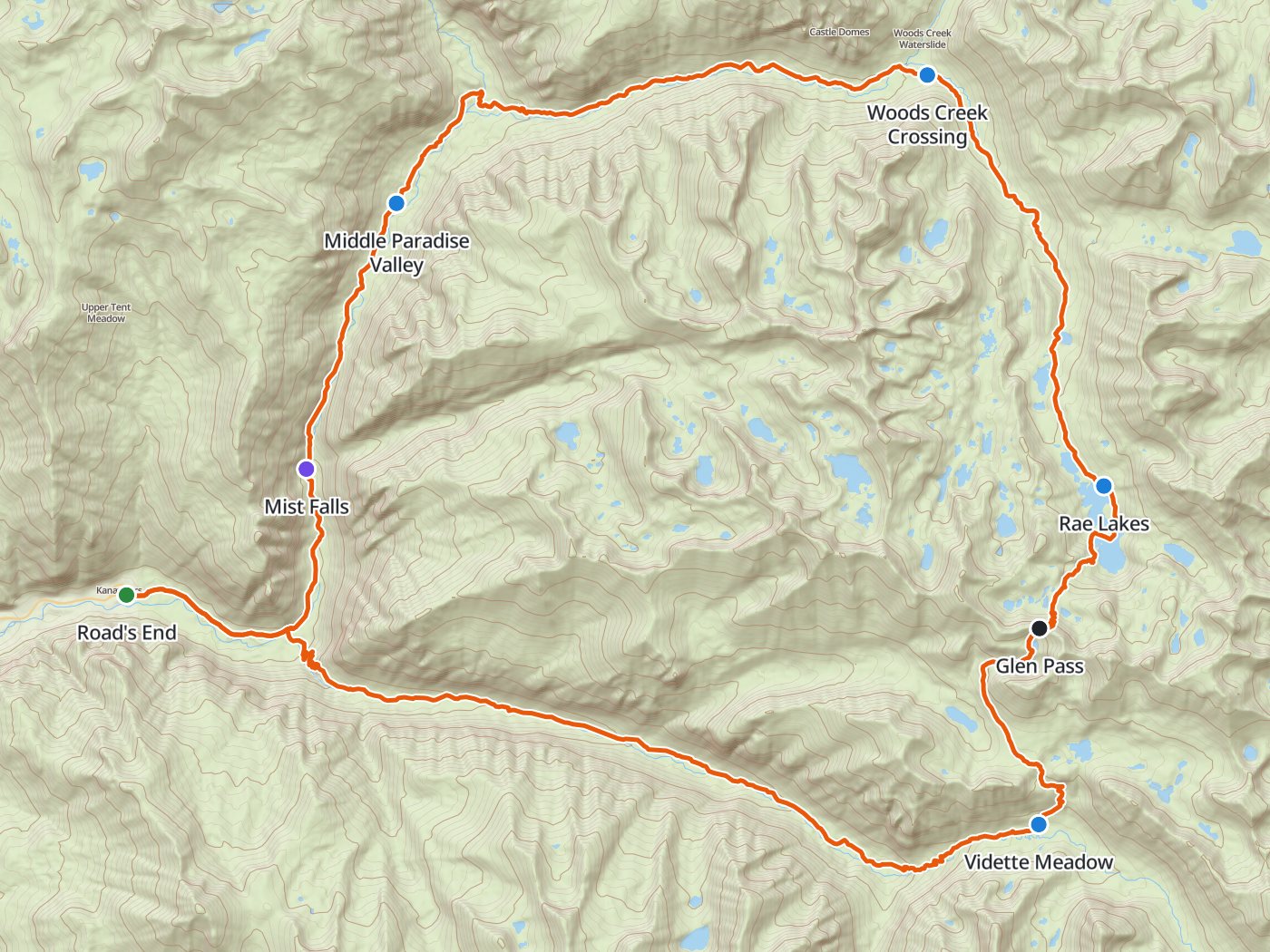
Backpackers Friend lays a multi-day route out day by day on a topo map, with the camps, the climbs, and the water in place. On the trail the phone follows along in airplane mode and tracks a full day on as little as 5% of the battery.
Planning is free, and the app needs no account and carries no ads or trackers.
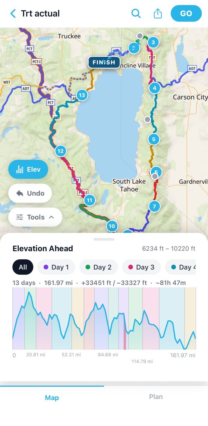
Drop the trailhead, the camps, and the summit, and the route snaps to real trails between them. Every day gets a separate color, mileage, and climb, so a long trip reads one day at a time.
Build a gear list with weights and quantities, watch the pack weight by category, and save the kit as a bundle for the next trip.
Download the trip's map before you leave. On the trail the phone tracks your line in airplane mode and vibrates if you drift off the route.
Planning a trip is free. Premium adds the tools that matter once you are miles from a road.
Split a route into days at each camp and see every day's distance and climb before you book the permit.
FREEAdd one of 16 iconic routes, from the Rae Lakes Loop to the John Muir Trail, as a ready-made trip and edit from there.
FREEDownload topo maps for each trip, and the whole route keeps working with zero bars of signal.
PREMIUMTrack every item by weight, category, and quantity, and save your favorite kit as a reusable bundle.
PREMIUMThe phone vibrates when you drift more than 330 feet from the planned route, with no data connection involved.
PREMIUMSee the elevation profile for every day of the trip and check the weather forecast before you head out.
PREMIUMThe chart shows measured battery drain over an 8-hour day at each GPS sampling interval.
Two Premium power-saving modes go further than any interval above. Pick the trade-off that fits the trip.
Logs your whole route automatically, with nothing to manage.
Skips background GPS and checks in only when you open the map.
The trail guides lay iconic routes out day by day. The trip reports come from walks the developer took, with the dates, the water, and what went wrong.
Four nights and 41.4 miles over 11,978-foot Glen Pass in Kings Canyon, with the camps, the permit steps, a free GPX, and the plan ready to open in the app.
Kings Canyon, CA · 41.4 miles · 3 to 5 nights See the plan →
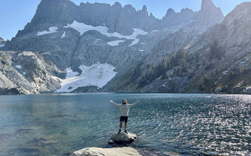
Three days among the lakes below the Minarets, and a ridge that a navigation app drew as trail and the ground showed as loose scree.
Ansel Adams Wilderness · September 2024
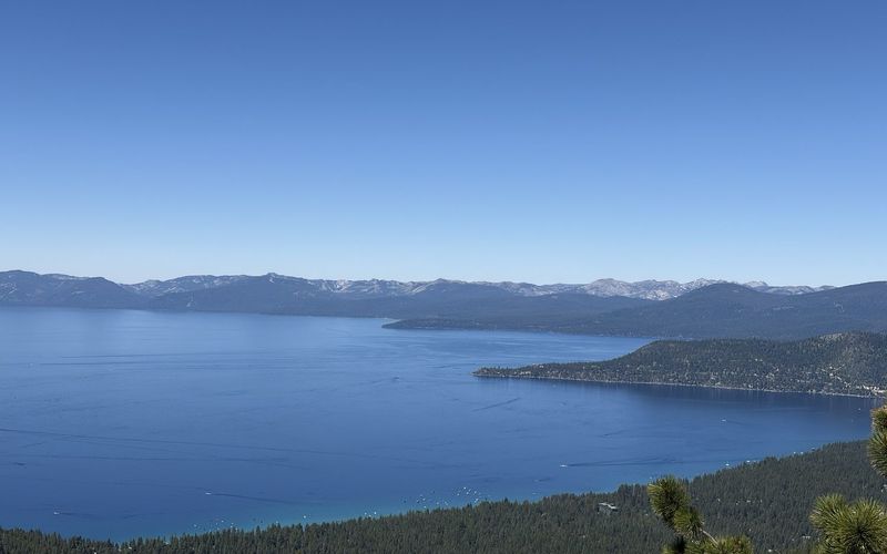
A field report from 162 miles and thirteen days on the loop, covering snow, water source by source, permits, and the long dry carry from Spooner to Kingsbury.
Tahoe Rim Trail · July 2026
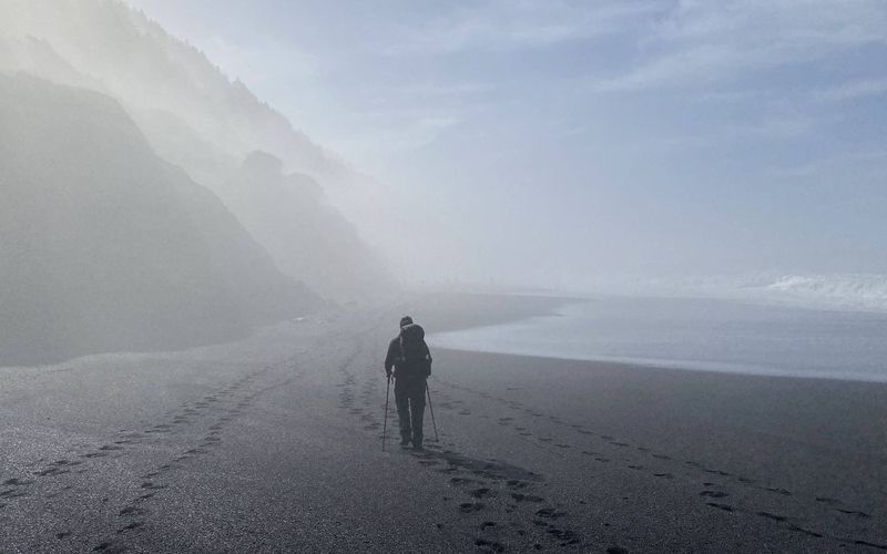
Three nights of black sand and elephant seals on California's most remote coast, until the route climbed the bluffs and the trail disappeared.
King Range, CA · February 2022Planning, tracking, and the Trail Library are free. Premium unlocks the tools that matter on a real backcountry trip.
Premium subscription