
We Went Up to Look at the Ridge
Three days in September out of Agnew Meadows, up the Middle Fork of the San Joaquin to a camp at Ediza Lake, across to Garnet, and out from Thousand Island Lake on the High Trail. My backpacking partner and I covered somewhere close to twenty-eight miles with two nights out, and in my opinion no country in the Sierra photographs better than the ground between those three lakes. The app we were using had also drawn us a loop, and the back half of that loop crossed a ridge above Iceberg Lake. We went up to look at the ridge before we believed the line.
We drove up on the Thursday and spent the afternoon doing very little at nine thousand feet, which is the only sensible way to start. Mammoth Brewing came first. After that we walked the shore near Lake Mary with Crystal Crag standing over the far side of the water, and when the sky went dark I tried to photograph the stars and came away with four black frames and a scatter of gray pinpricks. A phone gives back very little of a sky that good. We slept in the car in the Lakes Basin.
Construction had closed the road down to Reds Meadow to private traffic that September, so the shuttle out of the Mammoth Mountain resort was the only way to the trailhead. Parking at the resort in summer runs to acres and gave us no trouble at all. The bus was the part I had been worrying about, because missing the first departure would have pushed camp later than I wanted, and we made the first bus with room to spare. An Australian shepherd rode behind us in the muzzle the shuttle requires, looking thoroughly unconvinced about the whole ride, and then sprang off the steps at Agnew Meadows like a dog released from an argument.
We were walking by half past nine. The wilderness boundary sign came up a half hour later, and past the sign the River Trail drops toward the Middle Fork and then follows the water upstream through lodgepole and open granite. The turn up Shadow Creek comes a couple of hours in. The creek falls down that pitch in a run of slides and small falls over bare rock, and the trail climbs beside the water on stone steps and switchbacks for most of an hour.
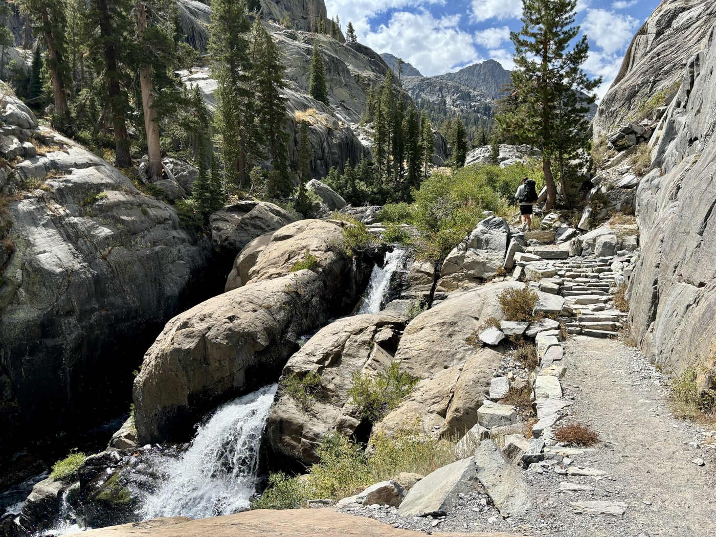
Climbing beside Shadow Creek on the first day.
Shadow Lake sits at the top of that climb, long and green under the ridge, and a pack string came along the shore past us while we sat. Ediza Lake came at twenty to two. The Minarets stand over the west end of that lake as one long serrated wall, with Mount Ritter and Banner Peak off to the north, and snow was still lying in the couloirs in September. We made camp at the west end. I hung the hammock and my backpacking partner pitched the tent, which is how we slept both nights.
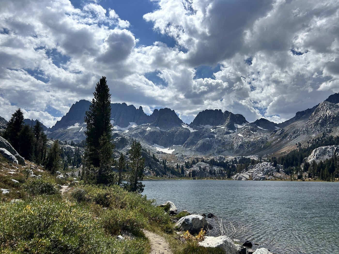
The first look at the Minarets over Ediza Lake.
The loop on the screen carried on past Iceberg Lake and over a ridge to Minaret Lake. We had never planned to take that half of the loop, and we walked up in the afternoon to find out whether taking the ridge was even possible. Iceberg Lake sits about five hundred feet above Ediza in a bowl directly beneath the Minarets, and the lake earns the name. We both swam. The water drove the breath out of me on the way in, and I would get in again tomorrow.
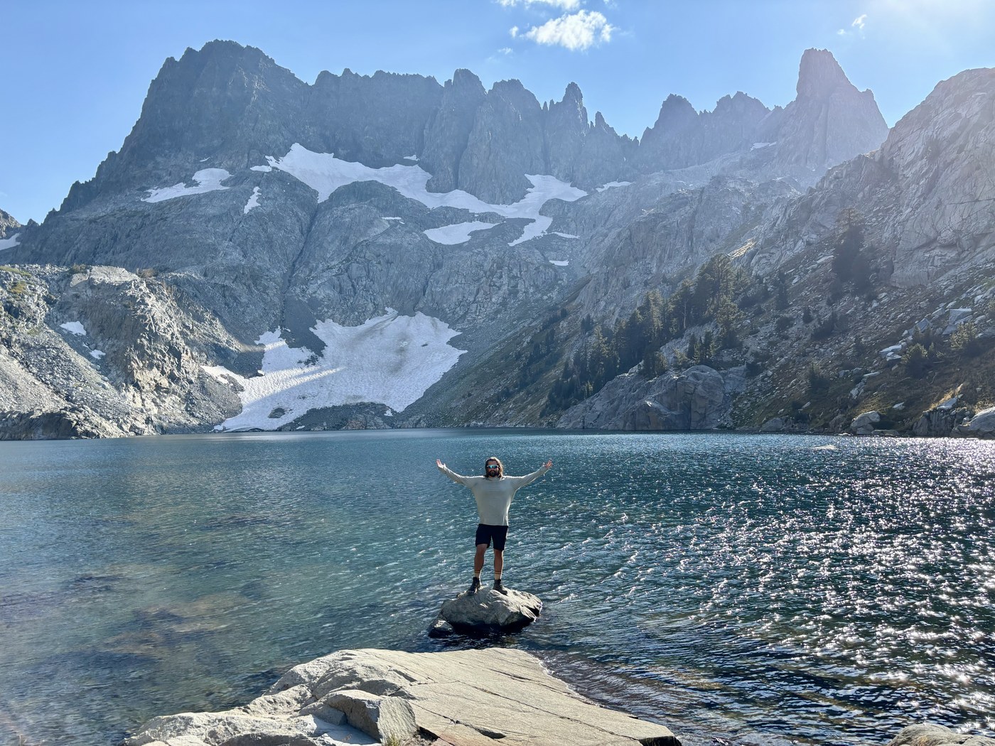
Iceberg Lake, five hundred feet above camp and every bit as cold as the name promises.
The ridge answered the question as soon as we stood at the bottom. No part of that crossing is a trail. The route goes up loose scree at an angle that puts every boot on rock that moves, with a fall line running straight back down into the bowl, and the crossing was a good deal more dangerous than either of us had understood from a red line on a screen. We turned around and walked back down to Ediza the way we had come up.
The evening alone made the case for the whole trip. A little after six the sun dropped behind the Minarets and threw the entire wall into silhouette, and the light came out from behind the spires in long spokes that reached most of the way across the sky, and the meadow in front of camp went gold and then amber, and the snow in the high couloirs held the last of the color after the rock below had already gone blue, and for something close to twenty minutes the mountain simply gave the evening away.
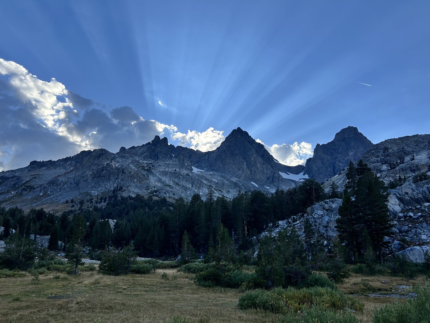
The light coming out from behind the Minarets.
I tried the stars again at a quarter past one in the morning and did no better than I had in the Lakes Basin.
We left camp at twenty to ten the next morning and walked three and a half hours without stopping for a single photograph, which for me is close to unheard of. The trail runs back down Shadow Creek and then climbs north over a shoulder toward Garnet Lake, and the climb is long and steady and entirely unremarkable. We ground the climb out and talked the whole way up.
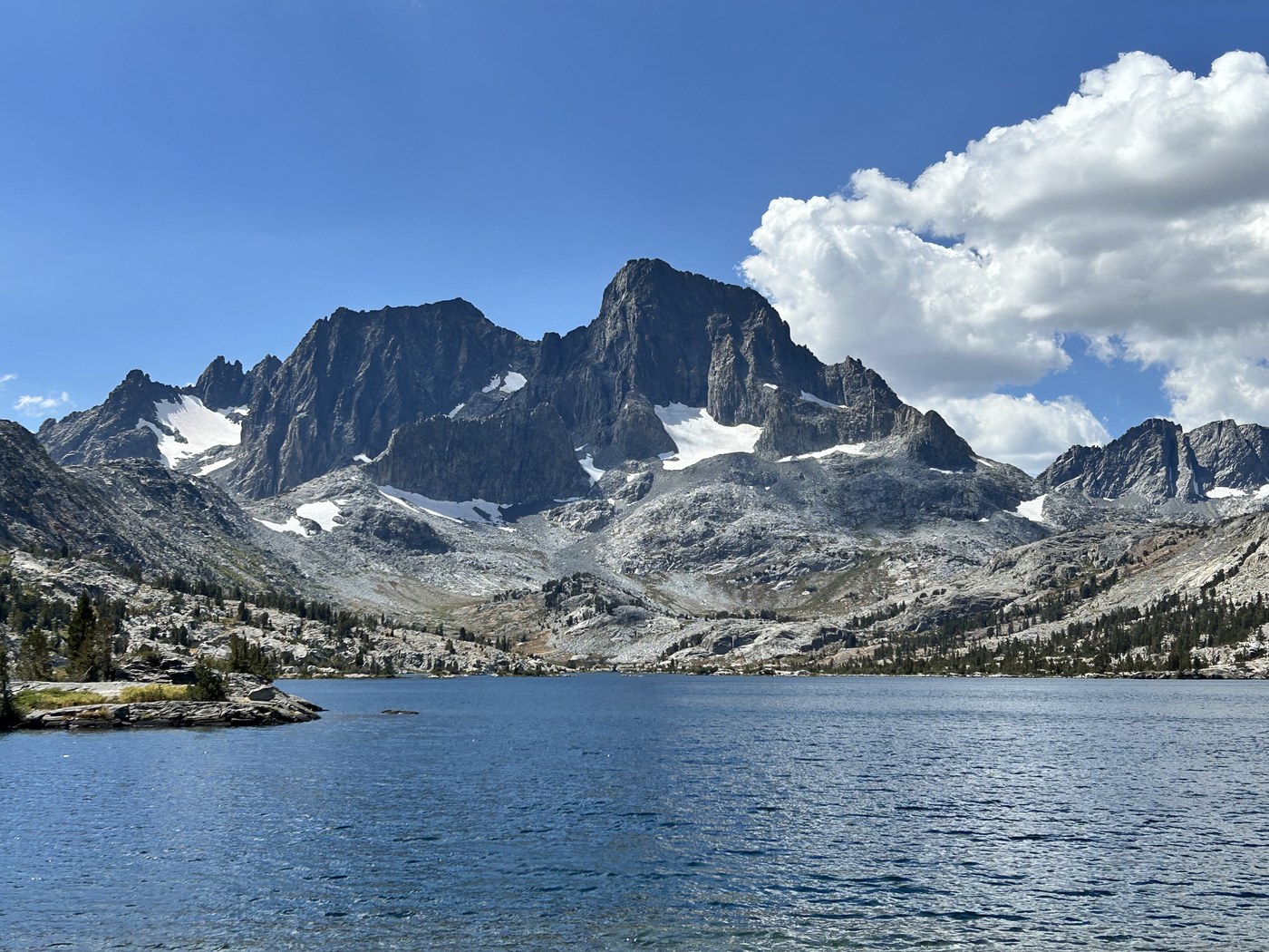
Banner Peak at the head of Garnet Lake on the second day.
Garnet Lake at one in the afternoon has Banner Peak standing at the head of the water with a glacier hung under the summit, and the lake runs blue-green the whole length of the basin. We sat on the shore and put bare feet in the water and stayed a good deal longer than the schedule wanted.
Thousand Island Lake lies over the next ridge to the northwest, and we came down to the water by a quarter past three. Banner stands at the head of that lake as well, and the islands the name promises are scattered the length of the open water. We made camp in the trees near the outlet and were off our feet by half past four.
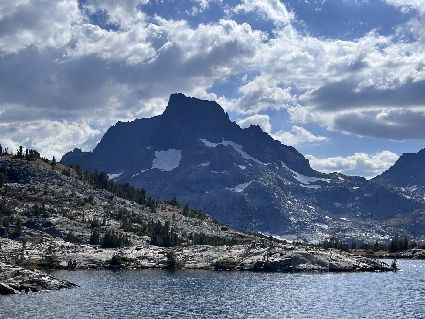
The first full view of Thousand Island Lake.
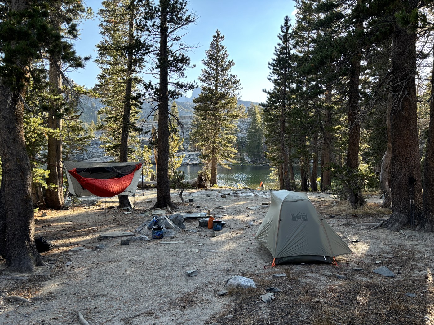
Camp near the outlet, the hammock up and the tent pitched.
We were both awake before six the last morning. The lake had gone completely flat overnight, flat enough to carry the far shore whole, and I stood at the edge of the water waiting on one particular moment. The sun clears the eastern rim and reaches the high rock a long while before any light at all falls on the near ridge, so for a few minutes Banner Peak burns orange at the summit while everything in the foreground still holds the blue of the night before, and the lake takes both halves of that and hands them back without a ripple. Then the light walks down the face, the near ground catches, and the morning turns into an ordinary morning.
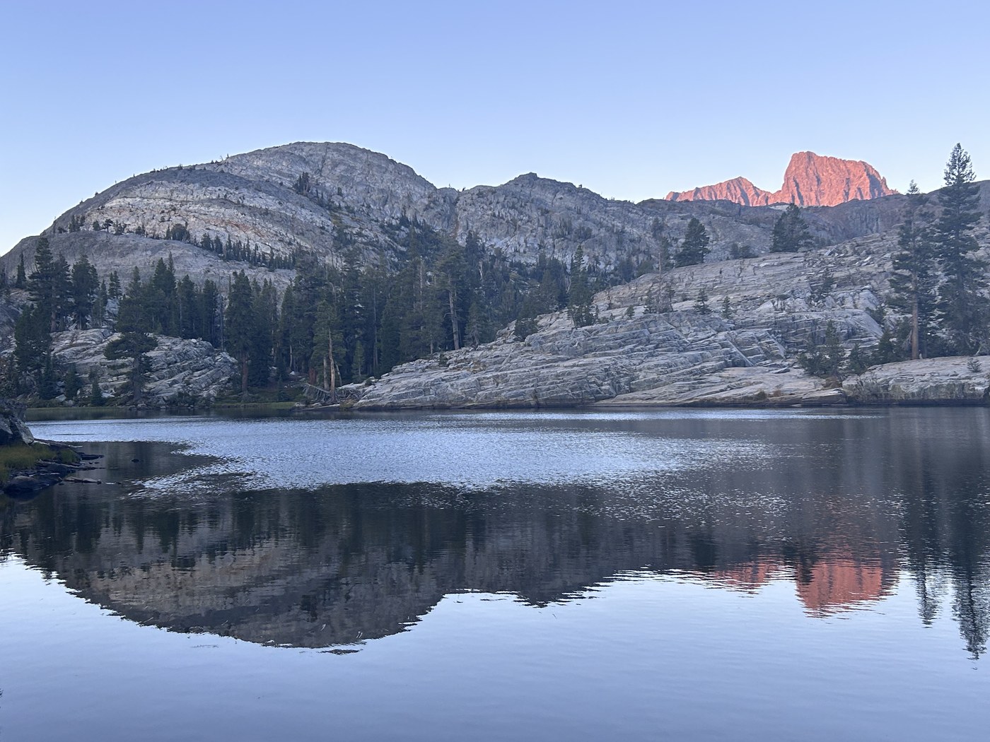
The summit lit on the last morning while the near ground was still in shadow.
We were packed and moving by ten to eight, out on the High Trail, which climbs east above the lakes and holds the ridge past the Badger Lakes with Ritter and Banner over one shoulder for most of the morning. We reached Agnew Meadows at half past eleven and stood at the shuttle post to wait, three days done, the same bus running the same road back down.
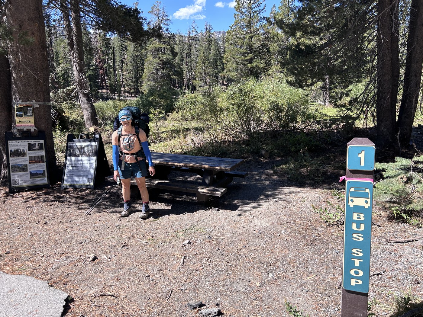
Back at the shuttle post at Agnew Meadows.
The loop that sent us up above Iceberg was drawn by an app, and the drawing carried nothing whatsoever about what the ground actually was. Loose scree on a steep fall line and a graded trail look identical when both are rendered as a red line two pixels wide. Backpackers Friend does not fix that by pretending to grade the danger for you, because no app can look at a slope and tell you the rock moves. What the app does is show the climbing in a route before you commit to walking the route, let you draw the line yourself rather than accept a stranger's loop, and hold the entire plan on the phone offline, so the decision you make at the bottom of a ridge is made against a map you built on purpose.
Go up and look at the ridge above Iceberg if you are curious, because standing at the bottom settles the question quickly and costs you only an afternoon. Then swim, walk back down to Ediza, and take the long way around by Garnet and Thousand Island. The long way is the reason to go.
The complete 79-item gear list for this trip, from the Kammok Mantis hammock to the coffee, opens in Backpackers Friend, and I review the main pieces of that kit on the gear review pages.
Draw the route yourself before you trust a loop
Backpackers Friend lets you build a multi-day route on the map, see the climbing in each day before you commit, mark your camps and water, and carry the whole plan offline where no signal reaches. Plan the days, mark the camps, know what is still ahead. Planning a trip is free, offline maps come with Premium, and the app needs no account.
