I Could Still Walk, So I Walked Out
I spent four days at the end of September alone on a loop of about forty miles out of Horseshoe Lake above the town of Mammoth Lakes. The route climbed Mammoth Crest to a first camp at Deer Lakes, crossed Duck Pass to Duck Lake, dropped down to Fish Creek and a night at Iva Bell Hot Springs, and swung back past Rainbow Falls and Reds Meadow. The sky never held a single cloud. Somewhere on that loop my left knee gave out in what I believe was a torn meniscus, and by the third afternoon I was walking on my trekking poles as crutches. I walked the last five miles to the car on that knee because I could still walk.
A friend had permits for that week that she was not going to use, and I could not find anyone free to come with me. I needed to get out, even if getting out meant going alone. Three weeks earlier I had walked Ediza, Garnet, and Thousand Island Lakes with my backpacking partner, so I was not coming to the mountains cold. The night before, I ate at Mammoth Brewing and slept at the Twin Lakes campground in the Lakes Basin, and the bear box beside my site at twenty to seven was the first photograph of the trip.
I parked at Horseshoe Lake and was walking by five to nine, with the loop planned to run counterclockwise. The lake has a pale sand shore, and that morning the long cliff of the crest stood over the far side of the water under an empty sky.
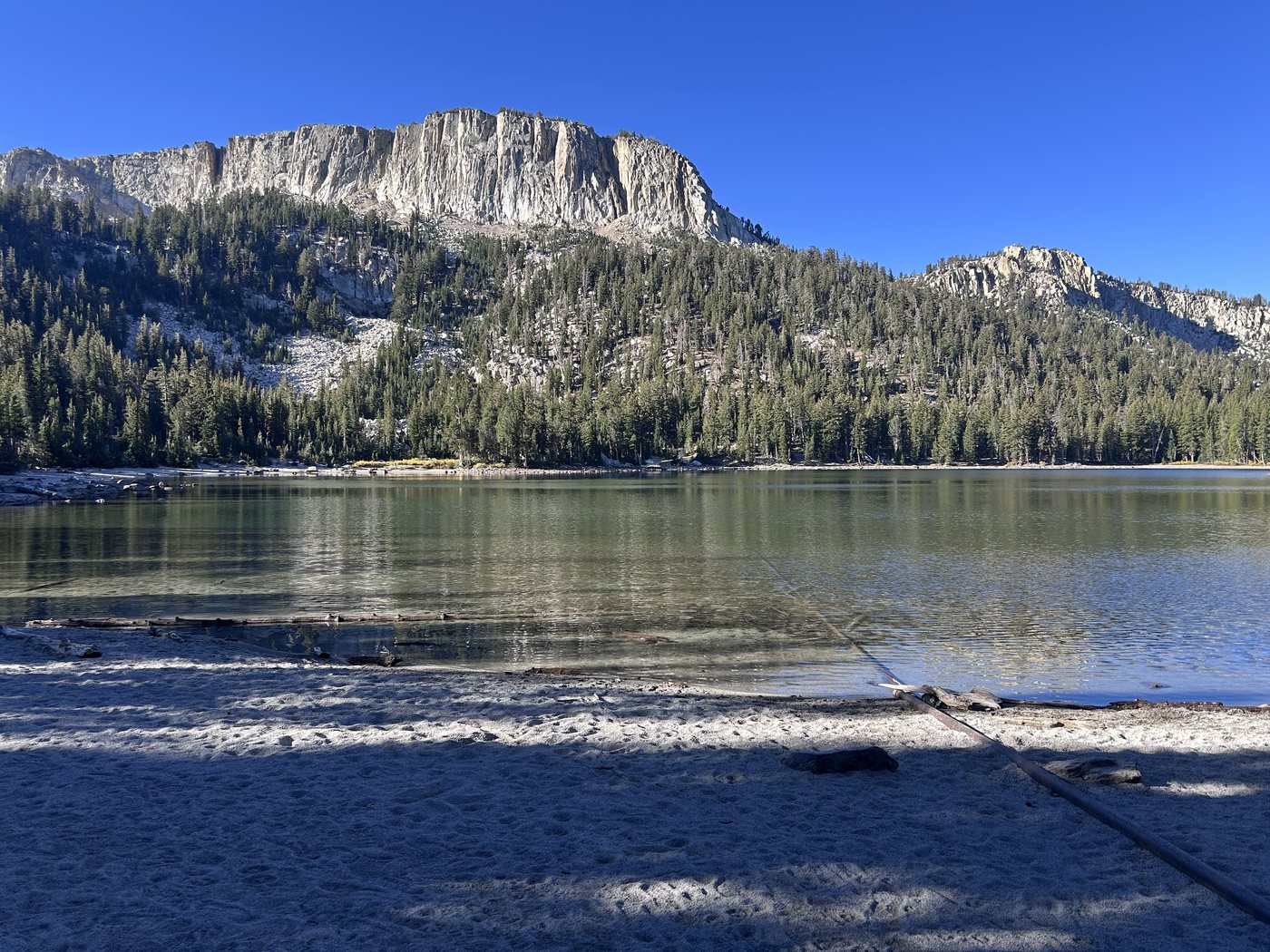
Horseshoe Lake at five to nine on the first morning.
The wilderness sign came up ten minutes later. Past the sign the trail climbs a wash of loose pumice and sand, and every time I turned around Mammoth Mountain stood a little lower behind me.
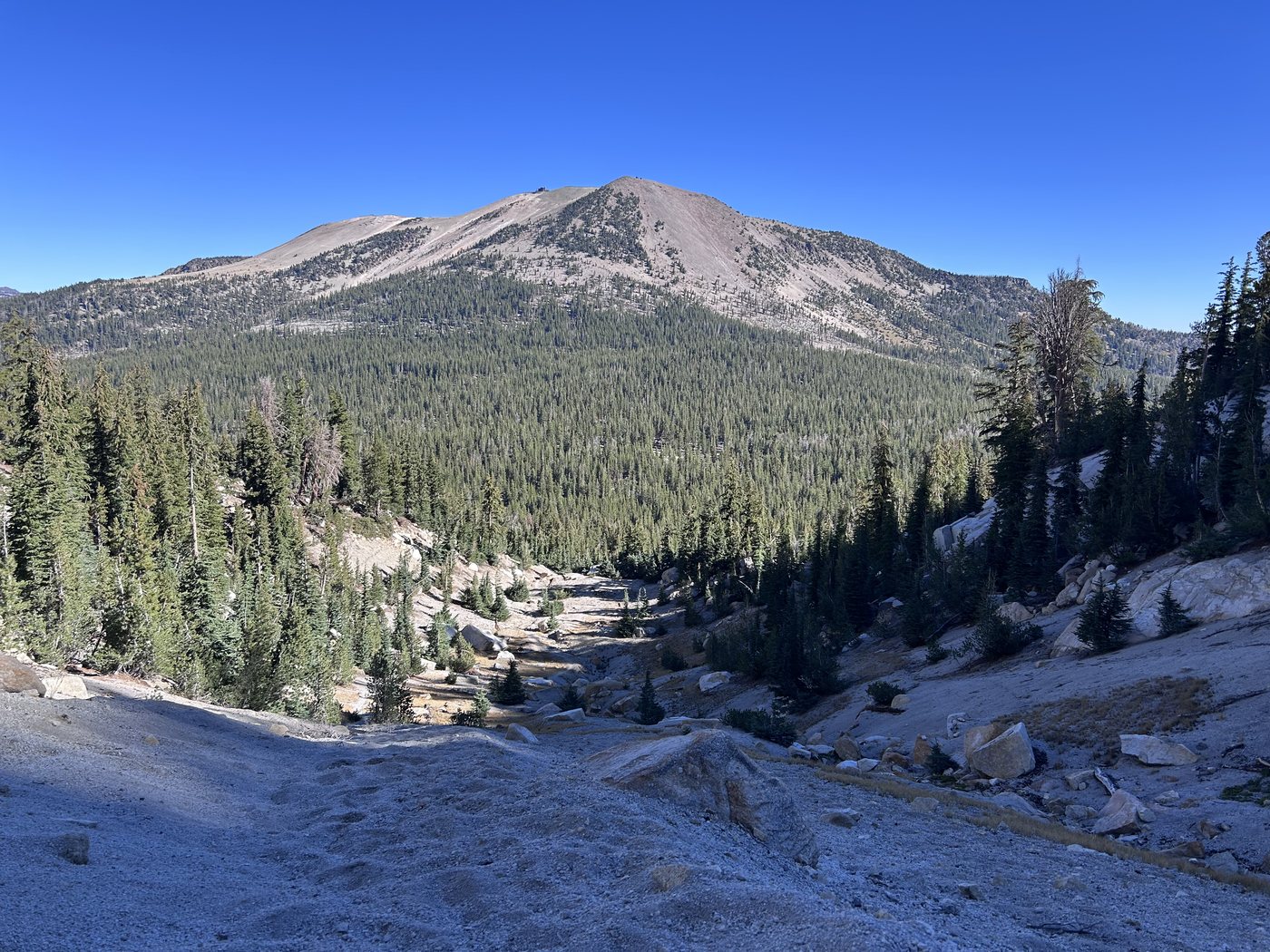
The pumice climb toward the crest, with Mammoth Mountain behind.
By half past ten I was up among the stunted pines on top, with the Minarets standing on the western skyline. The lakes of the basin lay below in a chain, and each one wore a pale ring where the water had dropped through a dry summer. A little after eleven the ground under my boots turned red and black where the crest runs over old cinder, and I stood on that cinder for a while with the Minarets off one shoulder and the Owens Valley off the other.
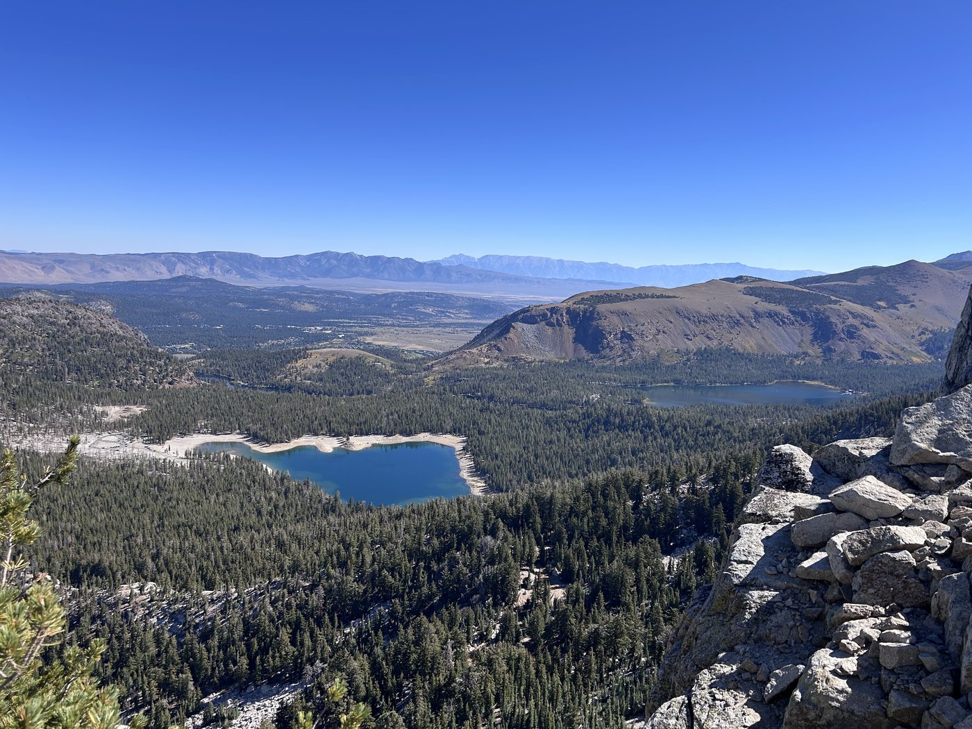
The lakes of the basin from the crest at a quarter to eleven.
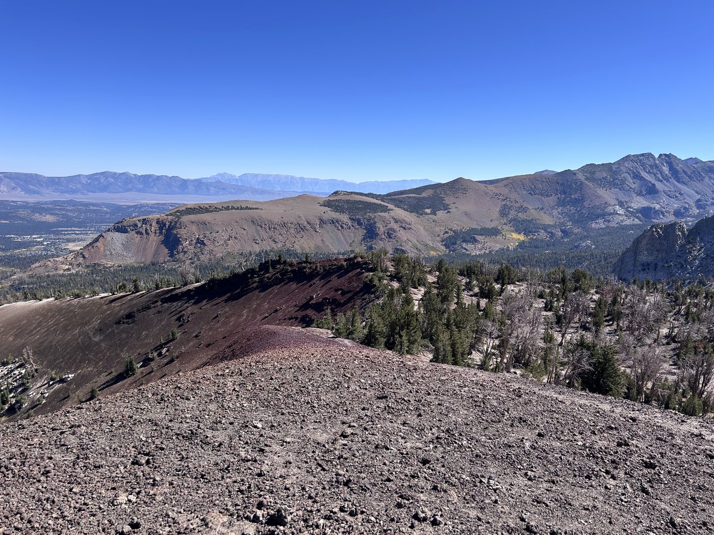
The red cinder on top of Mammoth Crest a little after eleven.
The first day was short on paper and hard on the ground. Up on the ridge I lost the trail. When I worked out that the tread was half a mile back the way I had come, I decided to climb the ridge instead of walking back. The climb was only fifty to seventy-five feet, which means very little on a day hike. With thirty-five pounds on my back at more than eleven thousand feet, no climbing gear, and no expectation of climbing anything that day, those few feet of rock nearly made me pass out.
I came down to Deer Lakes at a quarter to three and had the hammock hung by three. The lake sits in a bowl of gray granite under the back of the crest, and I had the bowl to myself. The hammock is my preferred way to sleep, and with the underquilt I was warm every night of the trip. Days ran into the seventies and nights dropped into the forties.
At twenty-five to seven the sun went off the water and onto the rock above, and the whole wall of the cirque took on the color of a banked coal, orange on the high ribs and rust down in the gullies, and the still water at the foot of the wall carried the same fire upside down, and the light kept lifting off the granite a ledge at a time until only the summits held any color and then the summits let the color go.
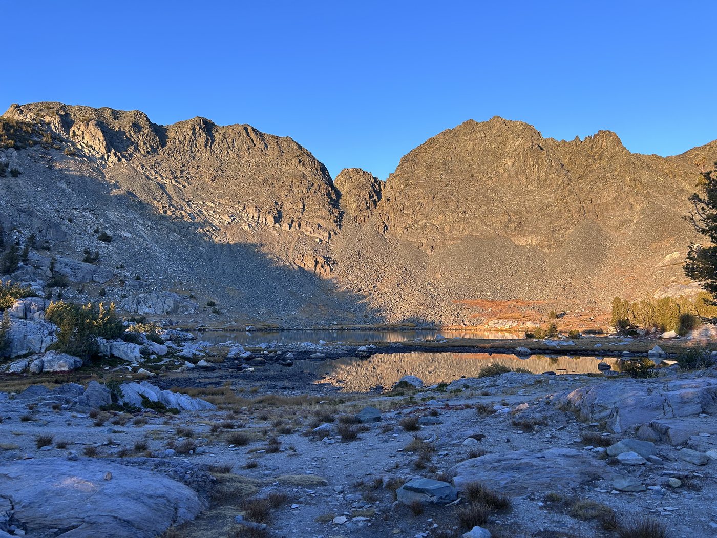
Last light on the cirque above Deer Lakes.
I slept badly up there, as I had slept badly at altitude for years without knowing why. I would wake in the dark gasping for breath. I have since been diagnosed with sleep apnea, and the thinner air at elevation makes the condition worse. Above ten thousand feet that night I had no name for any of that.
The moon was still up over the cirque at five past six. I was walking by seven, past a string of small lakes going blue in the shade, and by twenty to eight I was picking my way through talus toward Duck Pass. Behind me the country fell away past a line of lakes to the open floor of the valley far below.
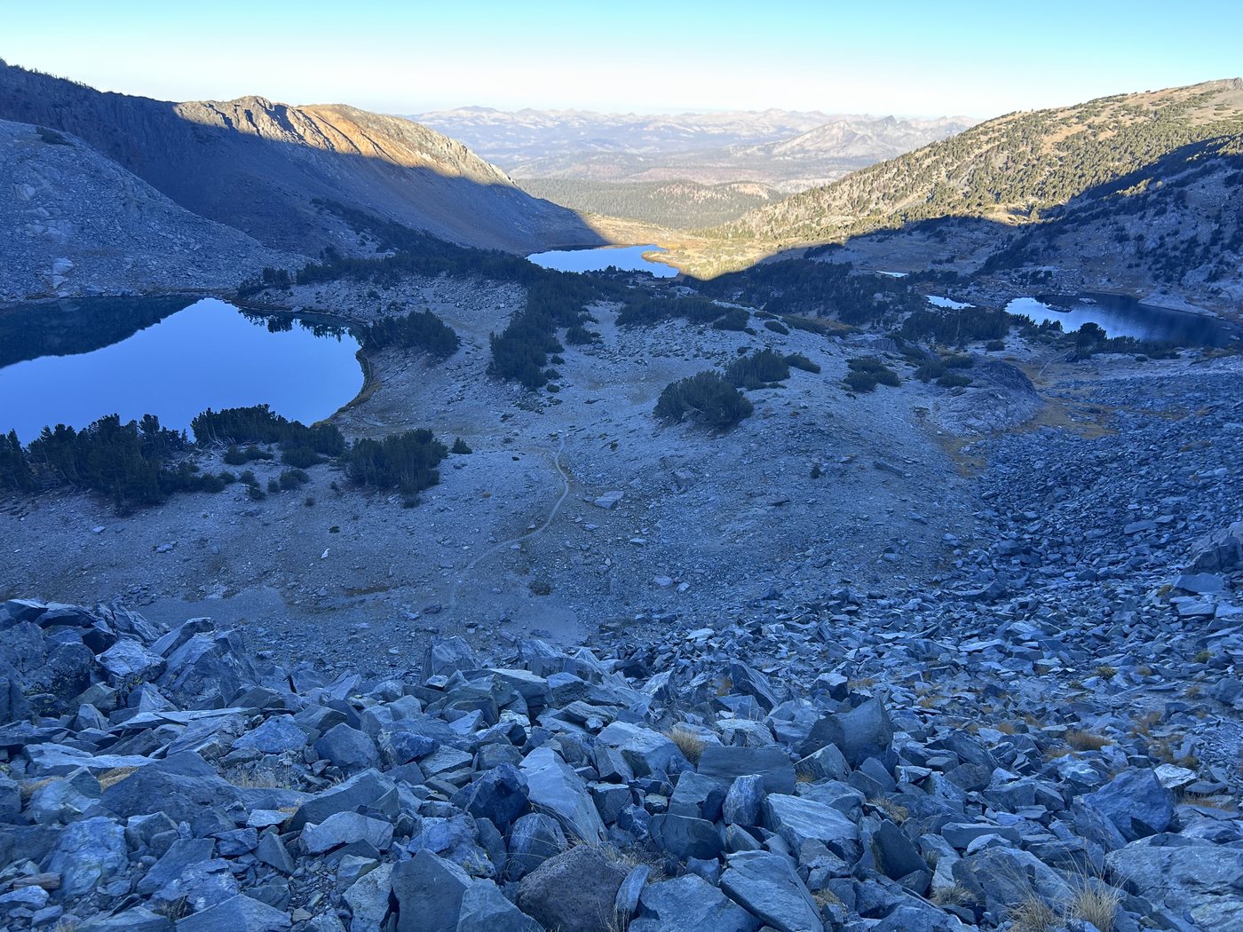
Looking back from the talus near Duck Pass at twenty to eight.
Duck Lake came into view at twenty past eight. The lake lay without a ripple, and a twin-summited peak on the far shore stood in the water as plainly as the peak stood in the sky. Through the shallows the bottom showed stone by stone, and the water over the stones carried colors I did not expect from snowmelt, a green going to turquoise and a faint copper that I put down to the volcanic ground under the basin. The lake had been gathering since spring out of the snow on every slope around the basin, and the water had settled and cleared through a whole summer of still days, and now in the cold of a late September morning the basin held the mountain and the sky and the stones of the lake floor all at once and asked nothing of me except that I stand at the edge and look.
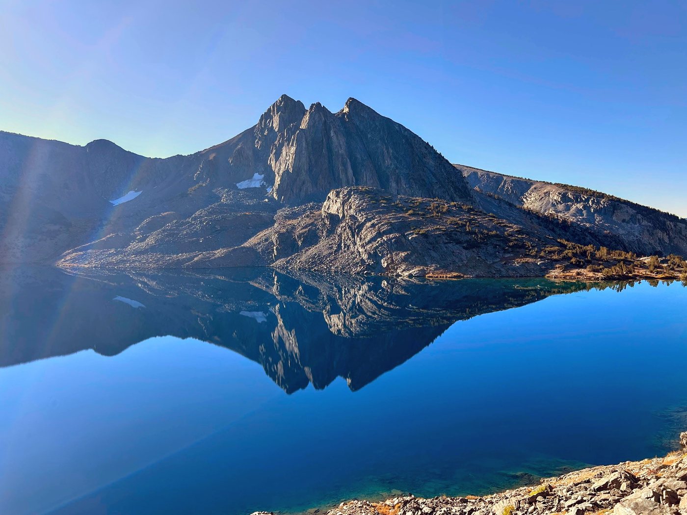
Duck Lake at twenty to nine on the second morning.
From Duck Lake the route ran south and then dropped a long way through timber toward Fish Creek. At twenty to one a sign at a junction in the trees pointed back toward Purple Lake and the PCT and JMT, and on toward Reds Meadow, which was the long way home. Fish Creek runs down that valley over broad aprons of granite, in slides and white cascades and one fall that pours into a round green pool, and I stopped at the water more than once through the early afternoon.
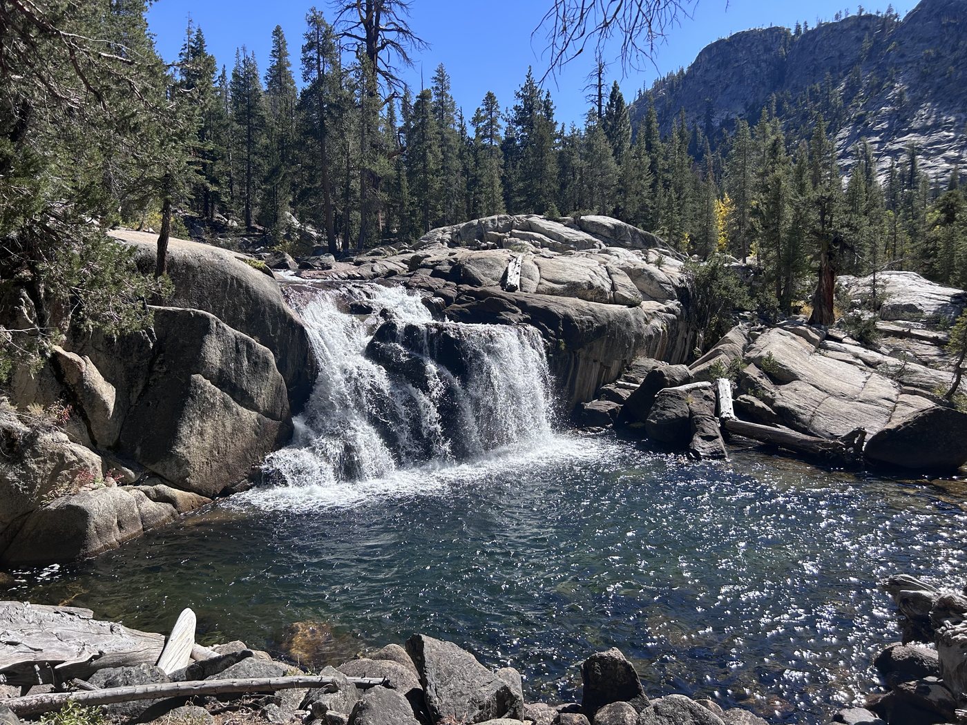
Fish Creek at ten past two on the second afternoon.
I reached Iva Bell Hot Springs late in the afternoon. I came on someone's gear first and then on a mother and her daughter walking back from their spring, both of them a little granola in the best sense. The mother helpfully pointed me toward a pool of my own. I was exhausted by then, and finding a place to hang the hammock still meant working across a stretch of marsh, but by five the hammock was up and I was lowering myself into hot water at the end of a long day.
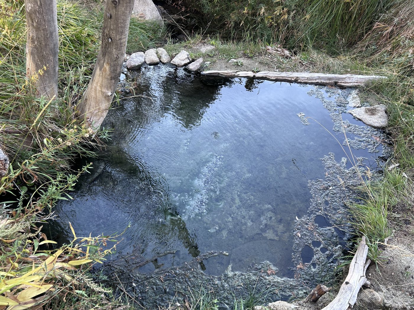
A rock-lined pool at Iva Bell Hot Springs.
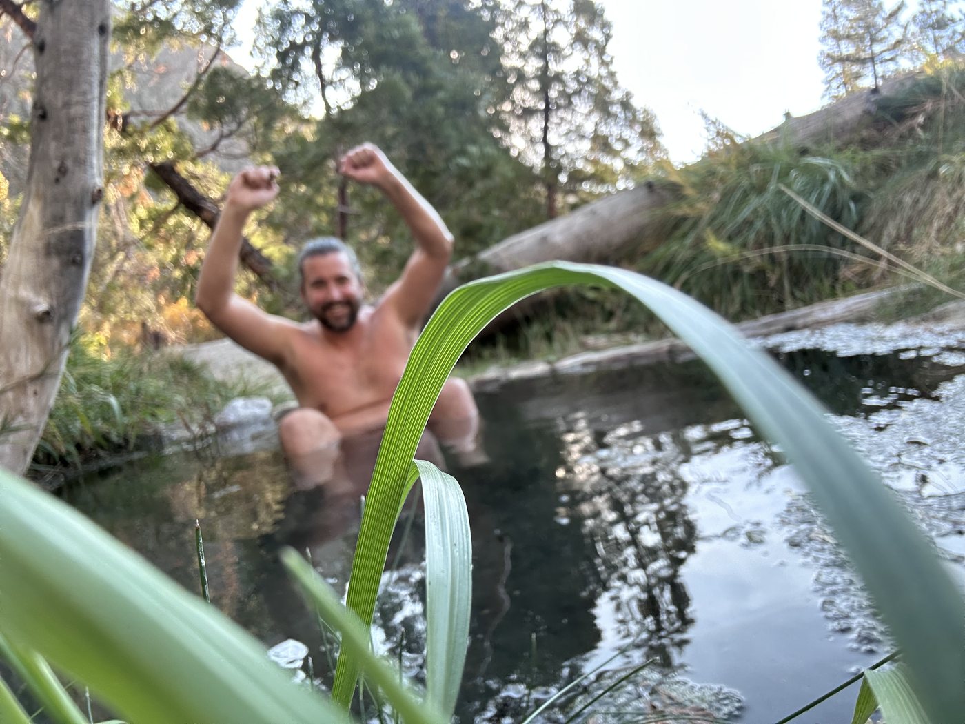
A quarter past five, in the pool the mother pointed me to.
My knee was stiff when I got out of the hammock the next morning, and I shrugged the stiffness off. The same knee had me leaning on my trekking poles like crutches by five that evening.
I walked on down Fish Creek through the morning, past a meadow gone rust and orange with the season, over a footbridge at ten to eleven, and on beside the water. The trail on the map ran along the river the whole way, and to save weight I was carrying very little water. Then the trail turned uphill into a long set of switchbacks, and about halfway up I realized I was low on water and had climbed away from the creek. The map in the app I was using drew stream after stream across the trail ahead, and in late September most of those streams were not there. I pressed on.
The pain in the knee grew through the climb until I understood something was wrong. A bear cub stepped onto the trail ahead of me, and I was so angry about my knee that I simply walked past him.
At twenty-five past twelve I found a stream barely dribbling through the grass. I dug out the ground to make a hollow deep enough for the filter to draw from, and then I waited for the silt to settle before I could take any water at all. I have rarely been as grateful for water as I was at that seep, and the afternoon only got hotter.
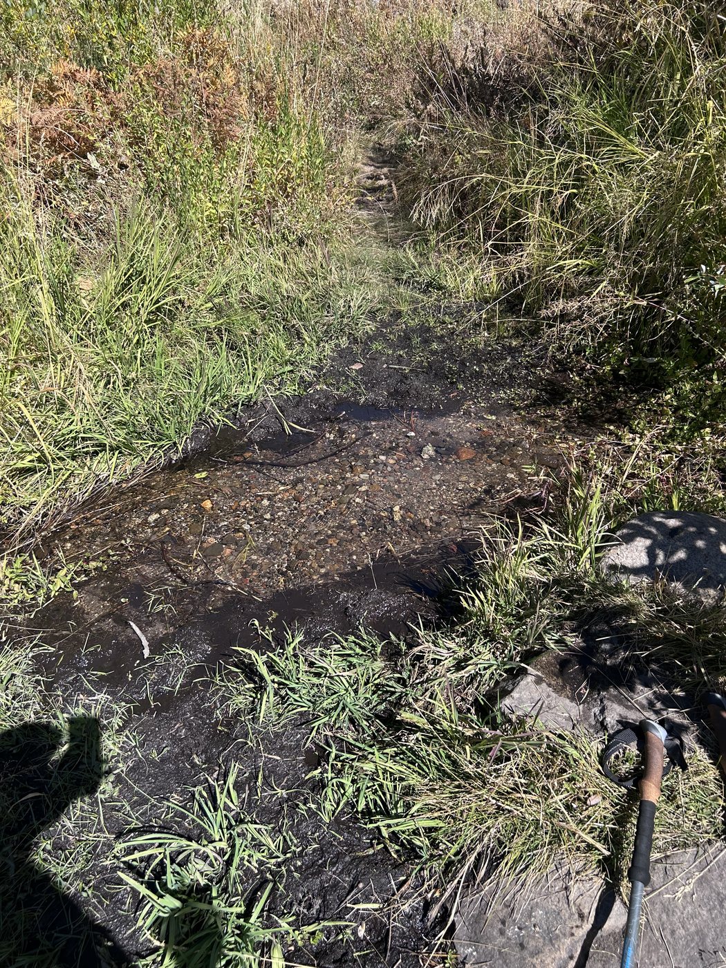
The trickle at twenty-five past twelve, dug out deep enough for the filter.
Everything got slower after the seep. At twenty to three the trail squeezed along a tall wall of pale granite in full sun, and ten minutes later my shadow on the trail showed a man leaning hard on his poles. By five I was using the poles as crutches.
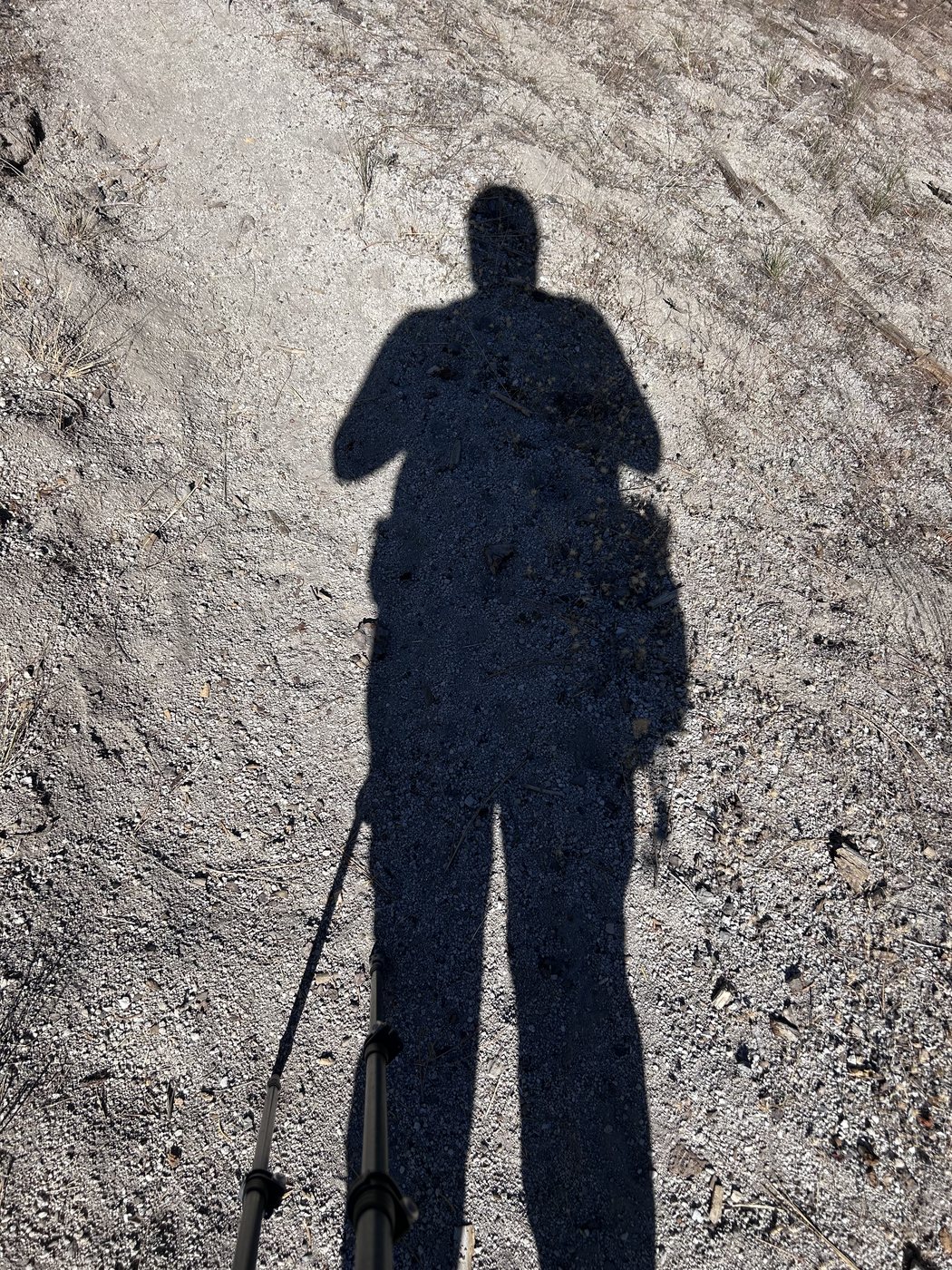
My shadow at ten to three, already leaning on the poles.
Late in the day I met a PCT hiker who was out of food. He asked whether I had seen the bear cub and the mother. I had seen the cub. I had walked straight past the mother without noticing her at all.
I struggled on to Rainbow Falls, where the Middle Fork of the San Joaquin drops over a ledge just south of Devils Postpile. Camping is not allowed at the falls. I had no other option that evening, with the knee in that state and the river the only water I could count on, so I kept to the spirit of the ban as closely as I could. I carry a hammock, which leaves no sleeping print on the ground, and I packed out absolutely everything I carried in. I hung the hammock in a stand of aspens just past the falls at a quarter past five, lay down, and stayed down for thirteen hours. The app I was using read 34.65 miles at a quarter to six.
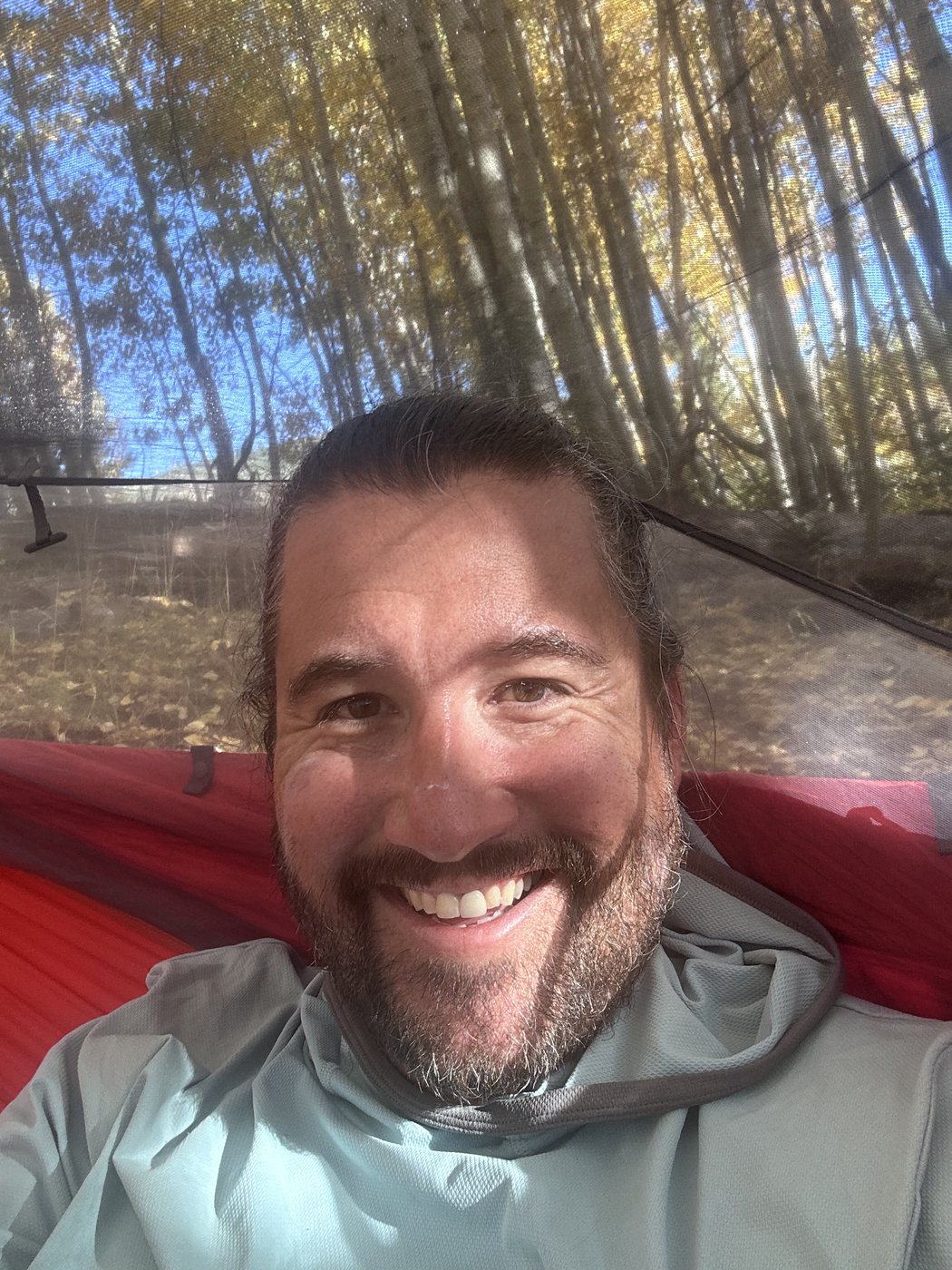
In the hammock among the aspens at a quarter past five. I did not get up again for thirteen hours.
I got up in the dark at twenty past six. For the first time on any trip I thought seriously about pressing the SOS button on my satellite messenger. My wife knew my route, and I had the messenger with me. I decided that if I could still walk, I would walk.
The cabins at Reds Meadow went by at five to seven, still in shadow. At twenty past seven the first sun reached the Minarets, and the whole range to the west stood orange above a valley still blue with the night.
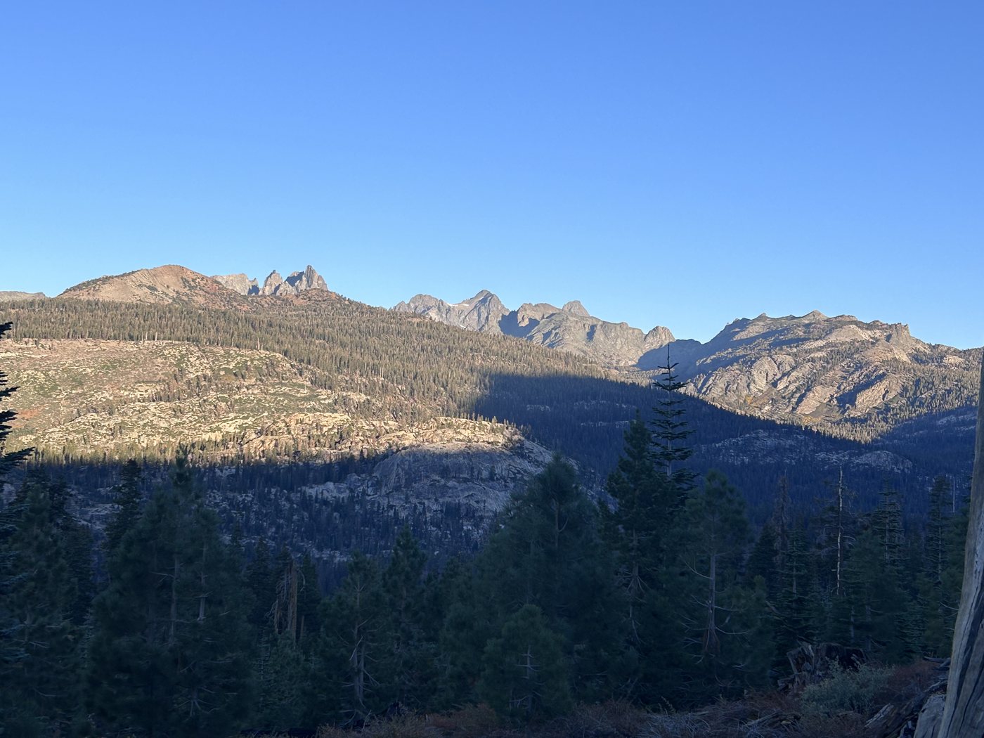
First sun on the Minarets on the last morning.
The climb back toward Horseshoe Lake runs through a stand of firs as even and green as a Christmas tree farm, and the trail through those firs was scattered with piles of bear scat. I geared myself up, in my head, for a fight with a bear. Close to the end a dog came up the trail with no owners in sight. The dog and I stood and looked at each other for a long moment, each of us holding our ground, and I was ready to fight that dog if he gave me any grief. Nothing happened, and the owners came around the bend. I could not outrun anything that morning, so I had to face everything head on until I reached the car.
I reached the car at Horseshoe Lake just after half past nine. The app I was using totaled the loop at 39.8 miles and 7,625 feet of climbing.
I did more than a year of physical therapy afterward, and that work is what rebuilt the knee. I still do not know for certain why the knee went, and my best theories stack on one another. The pace was hard, even though I had been out regularly that season. The loop spent a long time high. I had sleep apnea and did not know. I was not eating enough. And I do wonder whether the curve of the hammock, which puts a fulcrum under the foot, pressed on that leg every night.
The water is the part of this trip that went into the app. I had planned my carry around the stream lines on a map, and on the climb out of Fish Creek those lines were dry. Backpackers Friend cannot tell you which streams are running in late September, and no map can. What the app does is let you mark the water you actually trust as a water waypoint, show the climbing in each day on the elevation profile so a long climb away from the river is on the screen before you start walking that climb, and add up pack weight item by item so that cutting water is a choice you make with the numbers in front of you.
If you walk this loop late in the season, fill up at Fish Creek before the trail leaves the water and climbs. Treat Rainbow Falls as a place to look and keep walking, because camping is not allowed there. And if your knee starts talking on the first morning, listen to the knee.
Plan the water carry around the climbs
Backpackers Friend lets you build a multi-day route on the map, see the climbing in each day before you commit, mark your camps and water, and carry the whole plan offline where no signal reaches. Plan the days, mark the camps, know what is still ahead. Planning a trip is free, offline maps come with Premium, and the app needs no account.