
Start here
Plan the coast around the tides.
Walk the beach and marine terraces between Mattole and Shelter Cove. Three sections flood at high tide, so choose dates and camps together.
Check your dates
See the tide windows beside each day of your walk.
Open the tide planner → 02Choose your camps
Start with two nights, or add a night at Cooskie Creek.
Compare itineraries → 03Reserve the trip
Check permits after the dates work for your walk.
Find permit information →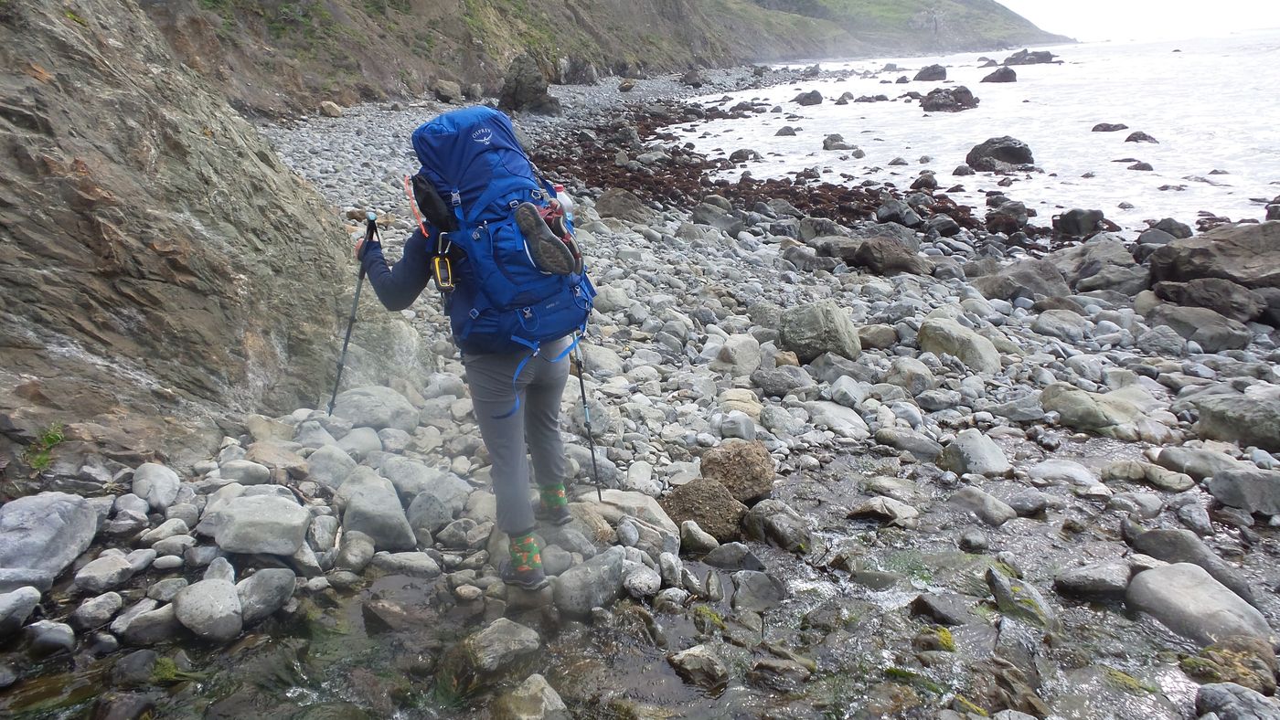
The beach below the cliffs on our February 2022 walk.
Lost Coast Tide Planner
24.6 miles · Mattole to Black Sands Beach
Choose your dates and camps, then compare estimated departure and arrival times for each day.
Colors check the entire selected itinerary. Red means a daylight or crossing limit rules out a day under your settings. Gray needs more data or review. These are planning estimates, not probabilities or a field-safety forecast.
Adjust pace and crossing allowance
Crossing speed stays at one mile per hour. The estimate assumes continuous walking, with the extra allowance spent inside each crossing. Add time for longer stops when planning the trip.
Choose your overnight stops
Scroll along the route and tap a camp to add or remove a night.
The two trailheads are fixed start and finish points. Black Sands Beach has no camping. Check the BLM camping rules. Stop positions marked * are estimated mileages.
Suggested times are planning estimates using approximate zone locations. The wave’s colors apply to entering today’s portion of the selected zone. Choose a zone above the wave when a day has more than one crossing. Hover, tap, or use the arrow keys to inspect individual minutes. Swell, weather, and creek levels can still prevent a crossing.
Take the route onto the trail.
Our standard southbound two-night plan opens with both camps and trailheads already placed. Planning is free. Premium adds offline maps.
The app link opens the standard southbound plan; selected camps, dates, and direction stay on this page.
How to read the results and check the sources
The curve uses six-minute NOAA predictions for Shelter Cove, with interpolation for the minute readout. Minute precision in the display does not increase the prediction resolution. Crossing checks use bounding samples conservatively, require falling tide at entry, and leave enough time to finish below the limit and before sunset. Yellow means a rising or turning tide, or insufficient time to finish. Red means the tide reaches the limit or daylight is unavailable. Gray marks missing data.
Each summary searches for a continuous walk from the selected starting point to the next camp or trailhead, with approach miles, all tide crossings, and arrival before sunset. Walking pace between zones is adjustable; crossing pace stays at one mile per hour. The selected crossing allowance adds time inside each zone. The estimate does not assume a place to wait along the cliffs or include extended rest stops.
Zone positions are approximate positions along our guide’s scaled trail line. Punta Gorda spans miles 3.2 to 3.45, Sea Lion Gulch to Randall Creek spans miles 4.5 to 8.5, and Miller Flat to Gitchell Creek spans miles 17 to 21.5. The long-zone starts are derived from approximate agency lengths and the guide’s endpoint mileages. Cooskie Creek splits the second zone at mile 6.5. Check these approximate boundaries and access to camp refuges against authoritative maps and current conditions.
Mileages come from our existing guide. The public tide page retains the earlier calculation until the redesigned planner is reviewed and published.
Itinerary & camps
Choose how to divide the walk.
Both starting plans follow the same 24.6-mile route. Dates determine whether the tide windows work for your crossings.
Two nights
Three nights
Permits
Check the tides before reserving.
Overnight trips require a King Range wilderness permit. Check the official listing for current availability, fees, and release rules.
this planner does not check live permit availability.
Getting there
Connect the two trailheads.
The north-to-south route starts at Mattole and finishes at Black Sands Beach in Shelter Cove.
Planning tools
Start with the decision ahead.
Use these tools to plan the dates and gear for your next trip.