
Closing the Loop
A loop doesn't count until you get back to the exact spot you left. I'd walked more than 140 miles around Lake Tahoe. I'd stood on the highest point of the trail, watched a storm cross Meiss Meadow, and left my party behind at Gilmore to finish the loop alone. None of that actually finished the loop, though, because my car was still at Brockway Summit, and between me and the car was the final stretch of the Tahoe Rim Trail.
I woke up at the Pepper Tree Inn and set out at 6 a.m., alone, eating a Clif bar for breakfast because nothing in town was open yet, to close the circle while the air was still cool. The guidebook version of this last leg runs 19.2 miles through the pines above the north shore, past Watson Lake to Brockway, and the trailhead sign warns that the stretch is "quite hot in summer" and "water is scarce." But a hiker I'd met on the PCT had waved the stretch off. "That part's just trail," he'd said, nothing you haven't already seen ten finer versions of. Since I'd already walked the whole ring of the lake, I decided the loop was honest either way, and all that remained was to reach the car. I took the efficient line north toward Watson, trimming the day down to about 10 miles and 2,083 feet of climbing. I carried a liter and a half of water and nothing more, trusting that a light pack and a cool early start would let me move fast enough not to need more. The plan worked.
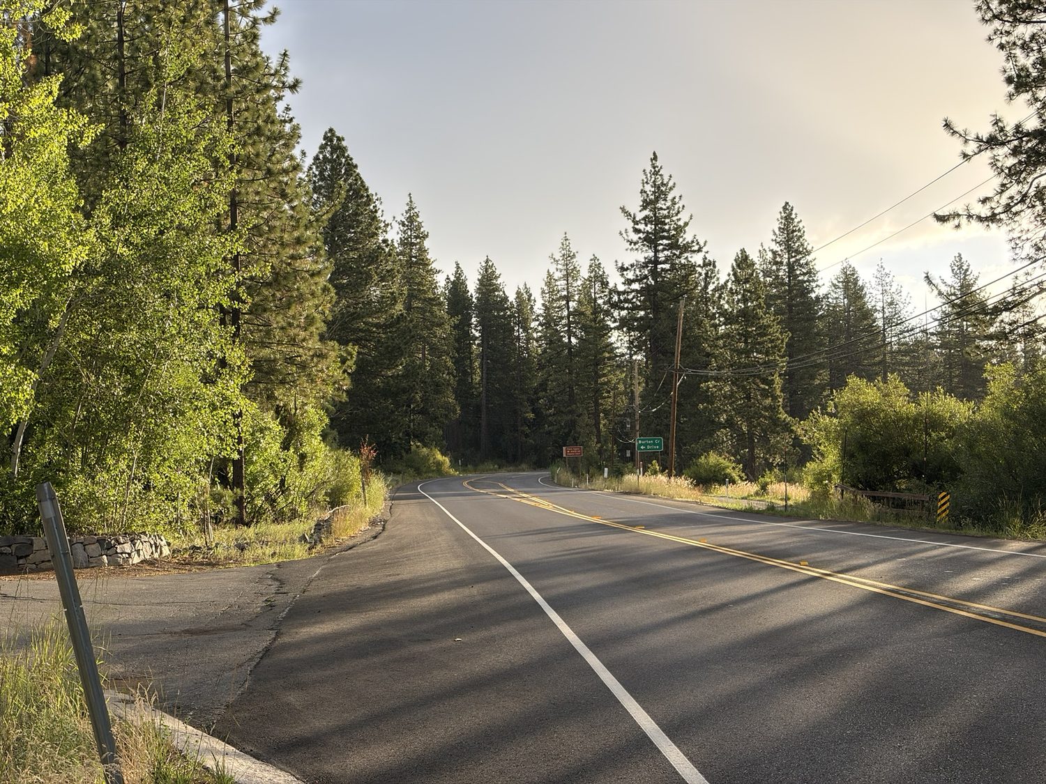
Out of Tahoe City at first light. The only stretch of the whole loop that starts on asphalt.
The last stretch The efficient line home
Walking a final morning alone, after two weeks, is one of the best gifts this whole trip gave me. There's no one to talk to, and no one talking at you, so instead you listen. You listen to the quiet itself, to a few birds working through the pines note by note, and to wind moving through the tops of the Jeffrey pines like something breathing. Two weeks of low-grade noise falls away without you quite noticing the departure, and the planning and the checking in and the deciding where to camp and when to leave and how much water is left all go too, and what stands in their place is just your own boots on the dirt and your own breath. I can't overstate how calming that morning was. I don't think I knew how much I was carrying, in that sense, until a morning arrived when I could set the weight down.
I moved fast and light through the cool early miles, because my legs finally had somewhere easy to go after two weeks of climbing. The whole trip played back slowly as I walked, through the first blue blaze nailed to a pine at Brockway, the long grind up to Relay Peak, cards at Star Lake until the light went and we could no longer read them, the wall of a storm crossing Meiss Meadow, the impossible blue of Aloha, and the goodbye at Gilmore that I still think about more than almost anything else from the trip. Fourteen days will fold themselves into a single quiet morning, if you let them, and that morning I let them.
There's a particular kind of peace that only shows up when the hard part is mostly behind you and you're finally not in a hurry. I stopped for no reason at all more than once, with no view to look at and no water to filter, simply because I could, and stood there for a minute in the trees before walking on. Those long pauses, the ones with nothing to fill them, might be the best part of the whole loop. Two weeks of climbing and carrying and deciding, and that last morning asked nothing of me except to keep walking, so I did, slowly, and let the quiet do the work.
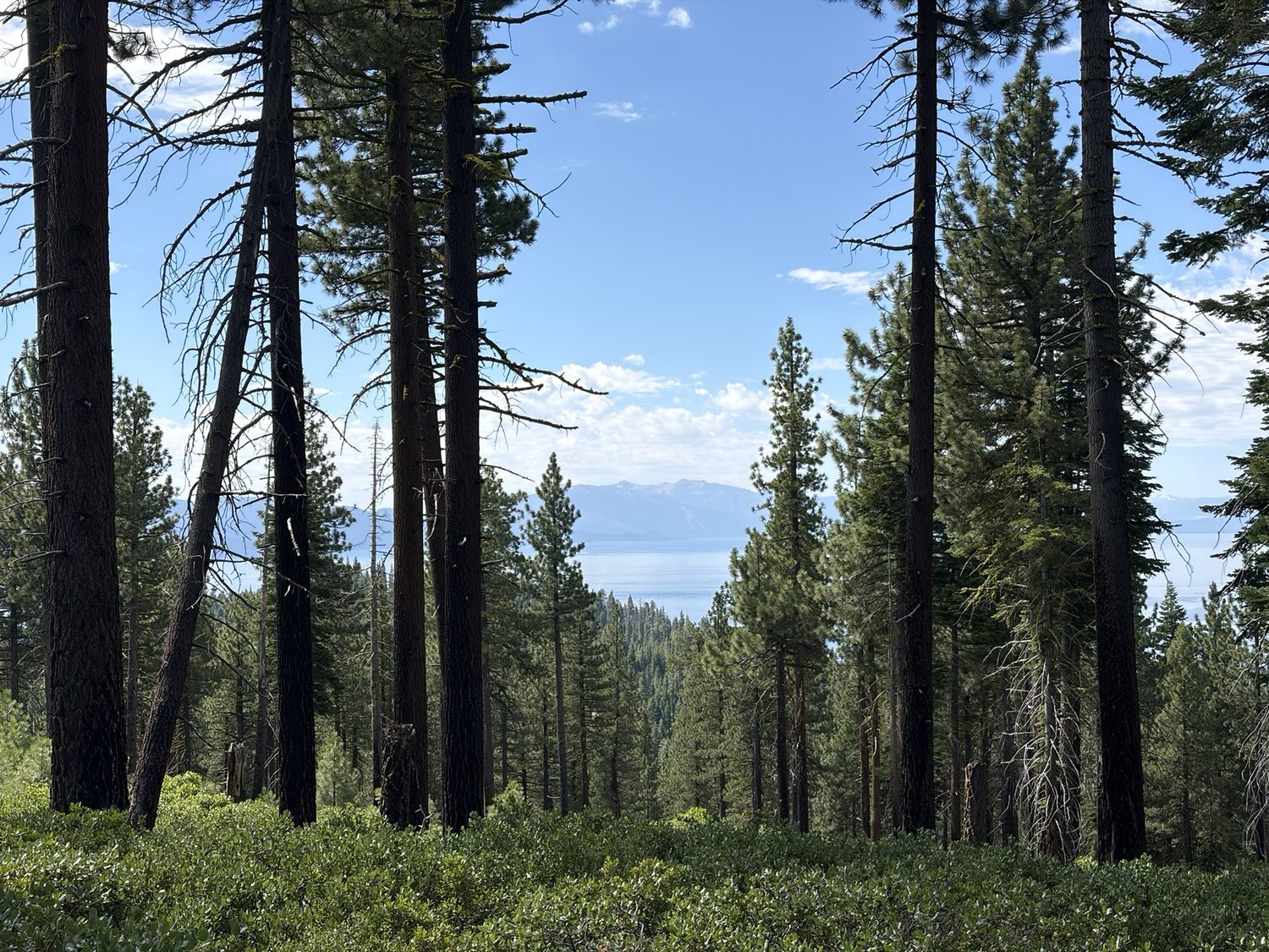
Tahoe through the trees, one of the last looks. After 160 miles, that blue still stops you.
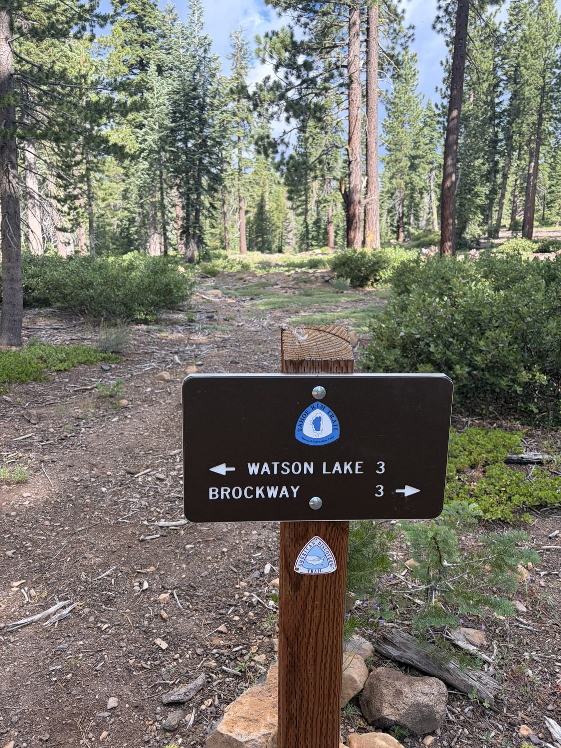
Watson Lake one way, Brockway the other. The last junction of the whole loop, and the first one where I already knew exactly how the story ended.
My car kept me company through those last miles, in a strange way. The car runs on electricity, so I could pull up the car's app and watch the car sitting there at the Brockway trailhead, "asleep," parked just off the highway, a couple thousand feet off and getting closer with every mile. There's something funny about walking 162 miles through wilderness while a small icon of your car naps at the finish line, an old trail and a modern breadcrumb pulling me the rest of the way in.
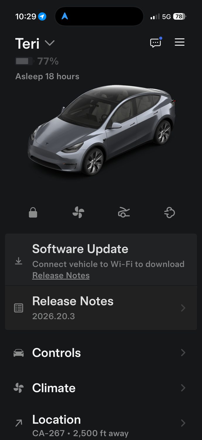
The car, napping at Brockway, watched from a couple of miles out. A very modern kind of finish-line beacon.
Brockway Back where I started
The trail brought me to the Brockway Summit trailhead without much warning, to the same interpretive kiosk I'd passed thirteen days before, the same map of the same lake, and the "You Are Here" dot meaning something different now than the dot had meant then. I'd stood in this exact spot with a heavy pack, clean socks, and a whole loop ahead of me. Now I was standing there again with a light pack, wrecked feet, and the whole loop behind me. I raised my trekking poles in silent celebration. The loop was closed at 162 miles, and those miles counted.
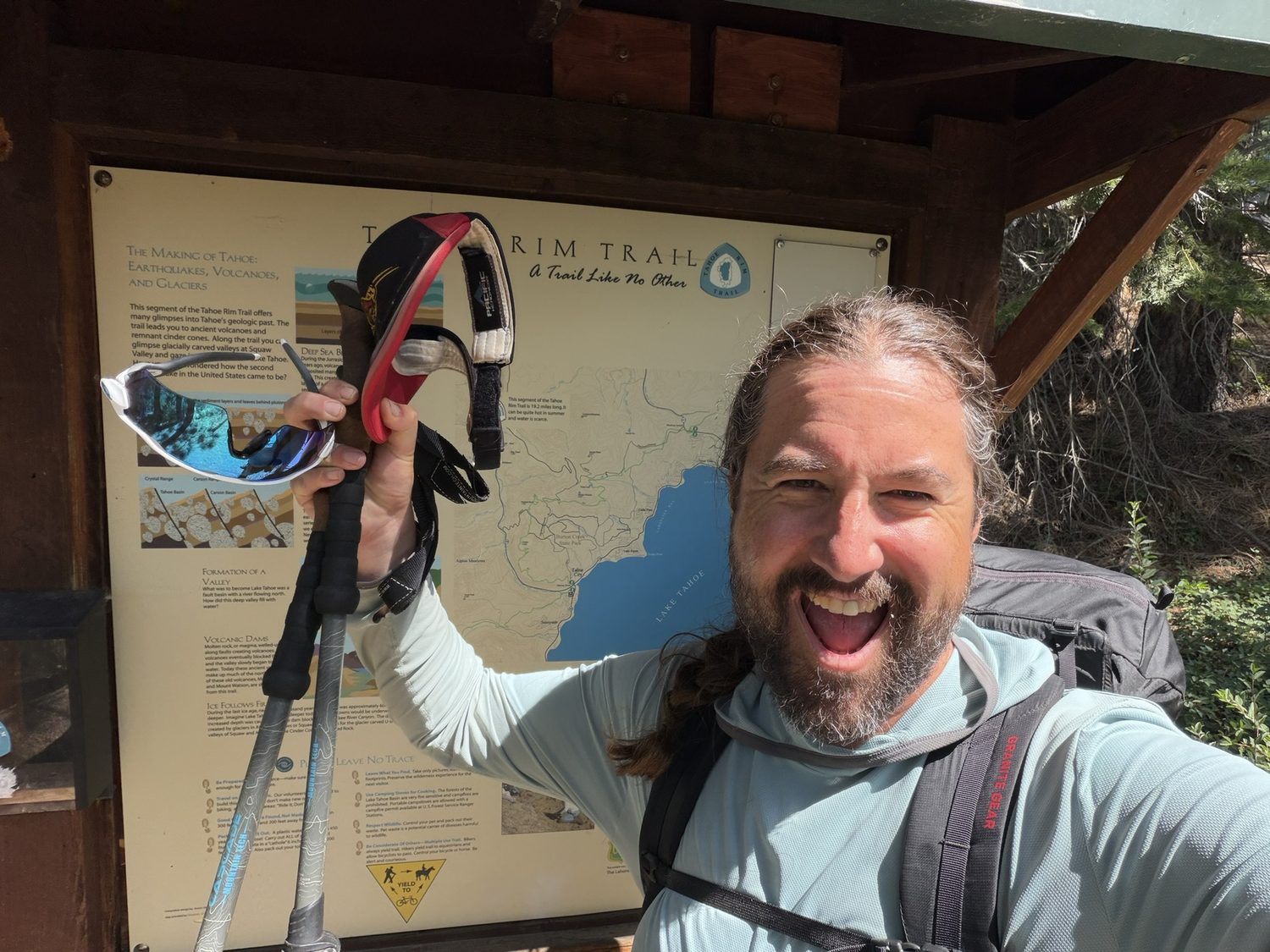
Brockway Summit, loop closed. "A Trail Like No Other," the sign says. After thirteen days, I was in no position to argue.
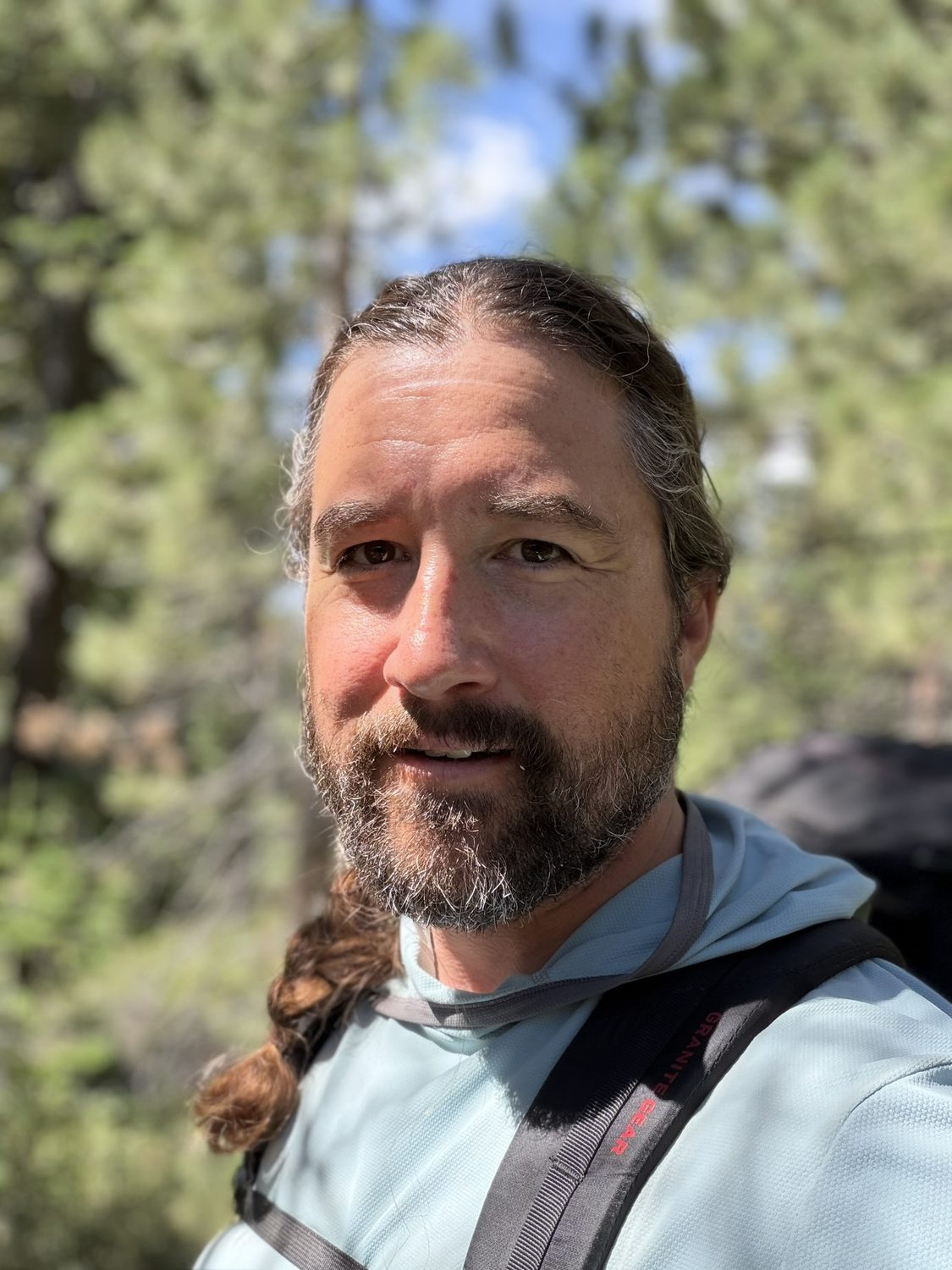
Two weeks of trail on my face. Worth every mile.
Nine months ago I walked this loop entirely in my head and built an app from what I imagined. This week I walked the real loop, and the imagined version had gotten the trail almost exactly right.
One part still gets me. Long before any of this, I sat at a keyboard and walked this exact loop in my imagination, mile by mile, and built an entire app out of what I pictured going wrong, out of the scarce water and the exposed ridges and the storms and the navigation and the resupplies. This trip was the field test of that daydream, and the daydream held up. The water really was scarce in the stretches where I'd expected a shortage. The storm really did come. The map in my pocket really was what I reached for at every lonely junction. I'd built Backpackers Friend for the hiker I imagined I'd become out here, and then I went out and became him.
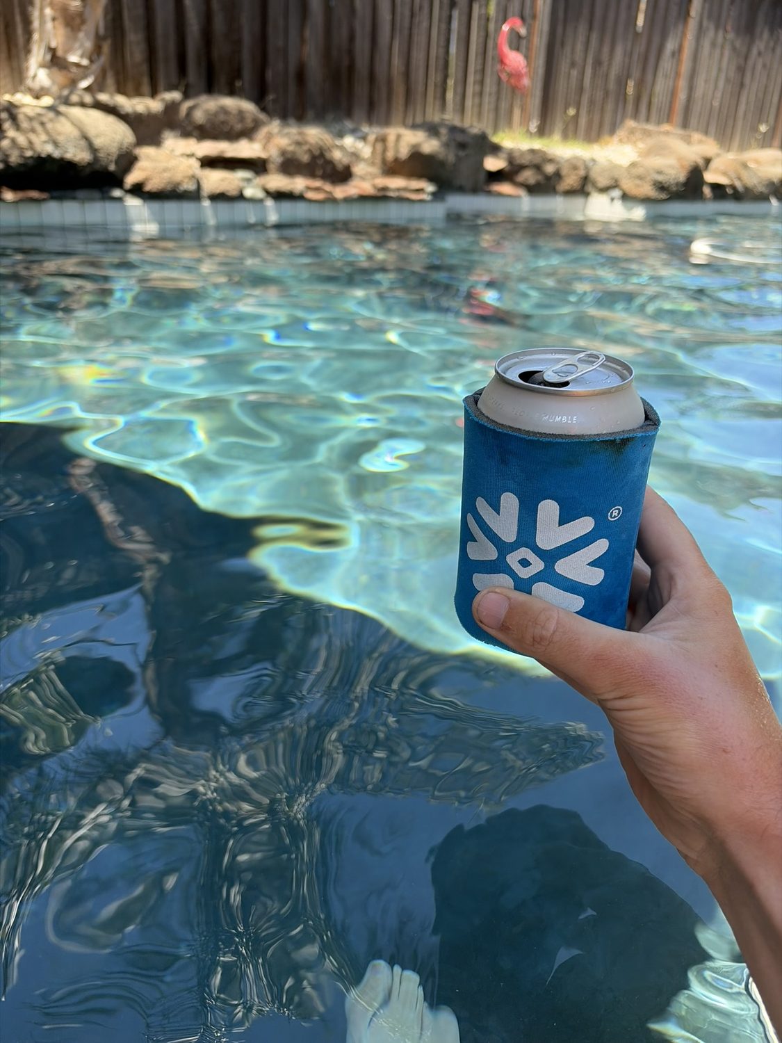
Home. Feet in the pool, cold one in hand, 162 miles in the bank. This is the last waypoint, and this waypoint is on no map.
That is the loop, all four legs and all 162 miles, from the first blue blaze to the last cold drink. If you read the whole series, thank you for walking the trail with me. Anyone who closes the loop can register with the Tahoe Rim Trail Association's 165 Mile Club, which recognizes hikers who have finished the whole trail. And if the series left you wanting to plan a loop of your own, good, because that is exactly the feeling this whole app was built for.
Your loop is waiting
I planned all 162 of these miles in Backpackers Friend before I took a single step, marking every water source and every camp, with the whole route snapped to the real trail and downloaded to walk with no signal, then tracked day by day to the finish. Build your own multi-day route on a topo map, carry the route offline, and let the app watch your line the whole way around. Planning a trip is free and needs no account.
