
I Left Desolation Alone
Desolation Wilderness is the granite core of the whole loop, all polished rock and glacial water with the jagged Crystal Range cutting against the sky. Desolation is the most beautiful stretch of the Tahoe Rim Trail, and we walked the heart of the wilderness together. This leg is also where our group split up. At Gilmore the rest of the party turned for home, and I left them behind and continued alone into the wilderness and on to Tahoe City.
Echo The chalet, and a boat across the lake
Leg 3 starts with a boat ride, which is not something you usually get on a wilderness trail. The Echo Lake Chalet sits at the water's edge with cold drinks and a little store, and from the chalet dock a small water taxi runs the length of Echo Lake, saving you a few miles of shoreline walking and dropping you at the edge of Desolation. We loaded in with our packs, the boat cut a wake across the blue, and for fifteen minutes backpacking felt almost too easy. Then the taxi left us on the far shore and the granite took over.
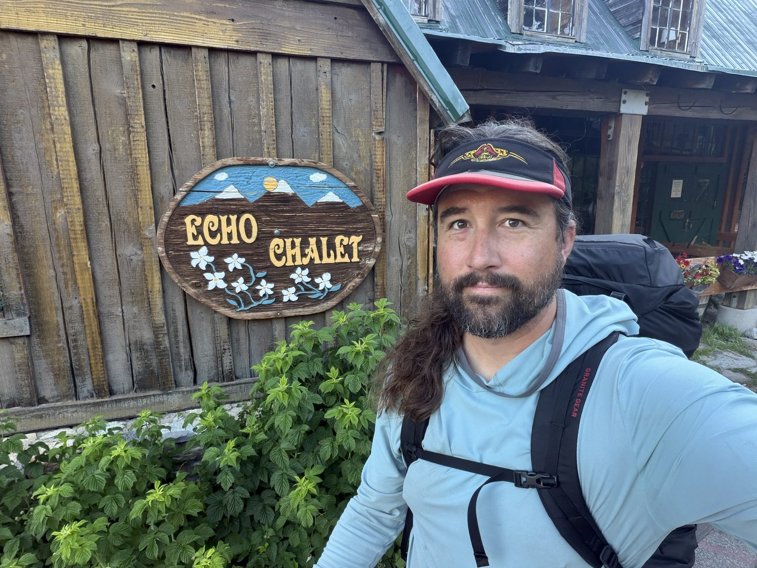
Echo Chalet. Cold drinks, a resupply, and the last easy mile before Desolation.
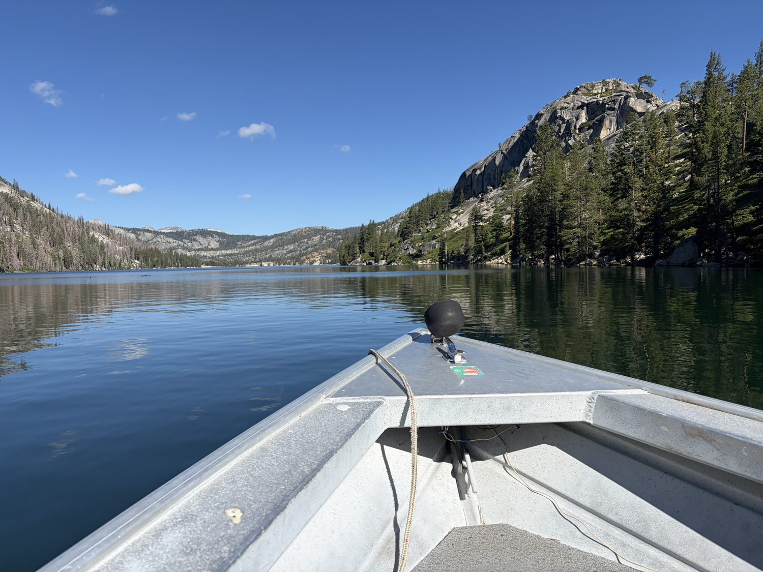
The Echo Lake water taxi. Fifteen minutes of letting a motor do the work, and the only time on the trail I didn't earn my mileage.
Aloha The most beautiful lake on the trail
Lake Aloha is next, and Aloha is probably the single photo most people associate with this trail. The lake is a broad, shallow sheet of water studded with granite islands and silvered dead snags, set directly beneath the Crystal Range, with Pyramid Peak and the neighboring summits rising raw and gray behind the water, still patched with the last of the year's snow. The scene doesn't look quite real in person either. We sat on the warm rock at the lake's edge for a long while, in no hurry to leave. Camping is off the table anywhere around Aloha, which is a Desolation Wilderness rule rather than a suggestion, and the Tahoe Rim Trail Association lists the permits and regulations for every jurisdiction the loop crosses.
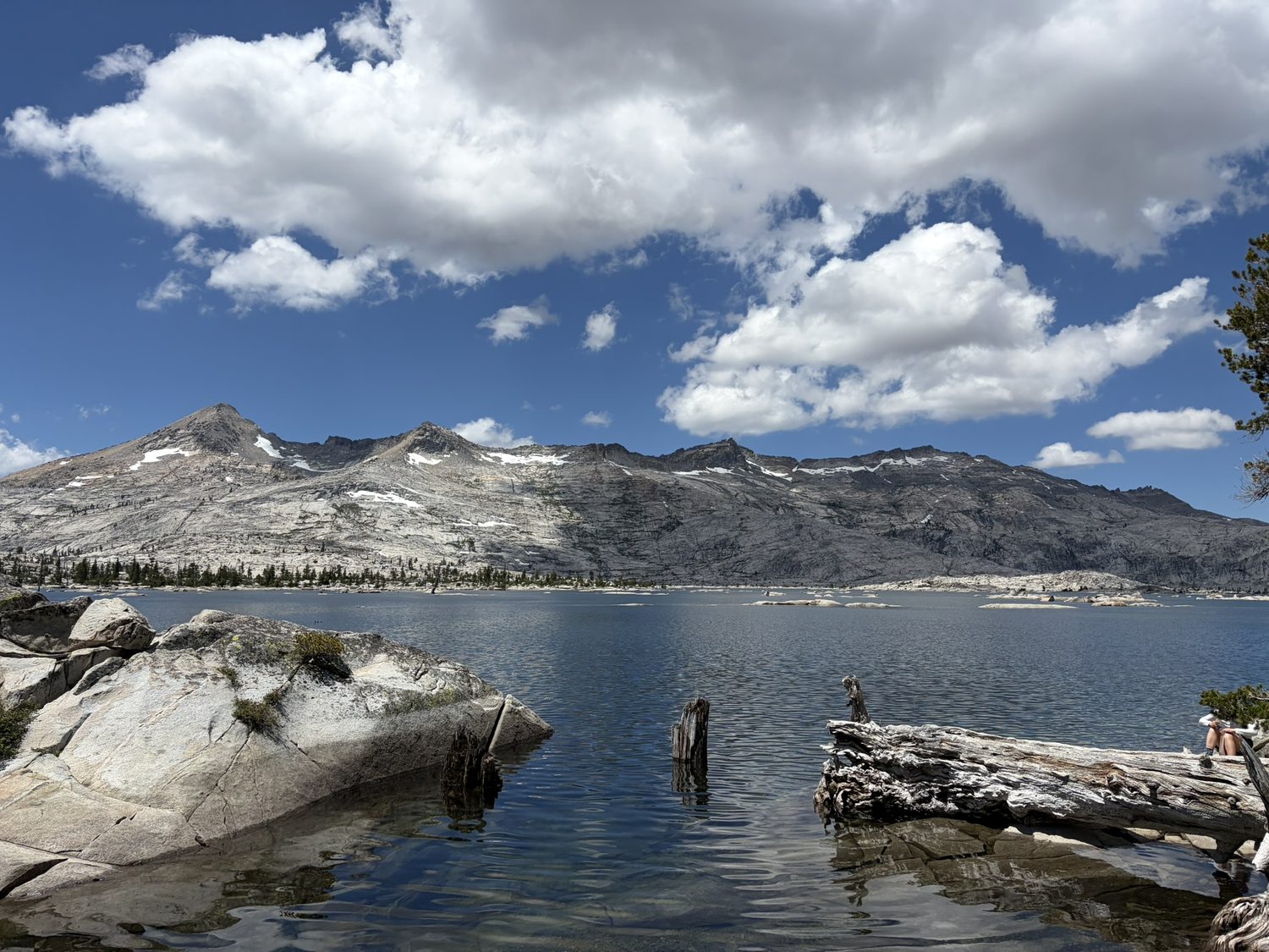
Lake Aloha and the Crystal Range. This is the picture the whole trail is selling, and for once the real lake is better than the postcard.
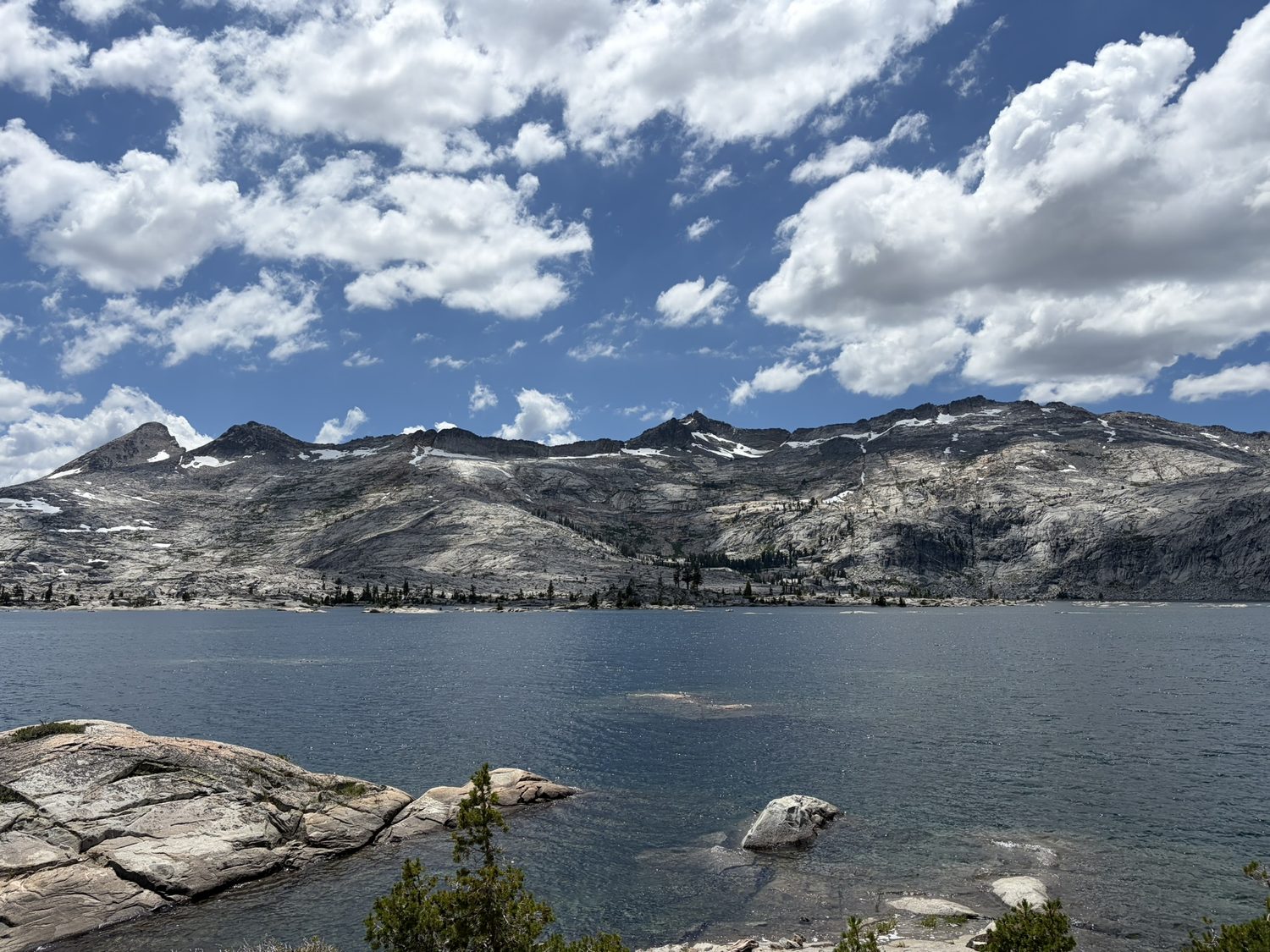
Desolation earns the name across acres of bare, glacier-polished granite, with blue water in every hollow.
Gilmore Where the group split
We camped near Gilmore Lake, 12.3 miles and 3,120 feet of climbing from Echo, and that camp is where the trip changed. Two weeks is a long time to ask of a pair of feet, and by Gilmore the miles had caught up with my hiking partner. The blisters had gone from nuisance to real trouble, the kind that make every downhill step painful. The right call was to leave the trail here, and there was a good way to do so. Gilmore sits at the foot of Mount Tallac, and a well-worn path drops from the ridge to Fallen Leaf Lake and a ride home. So the plan split. My partner would walk our other friend out over Tallac, and I would continue on and close the loop.
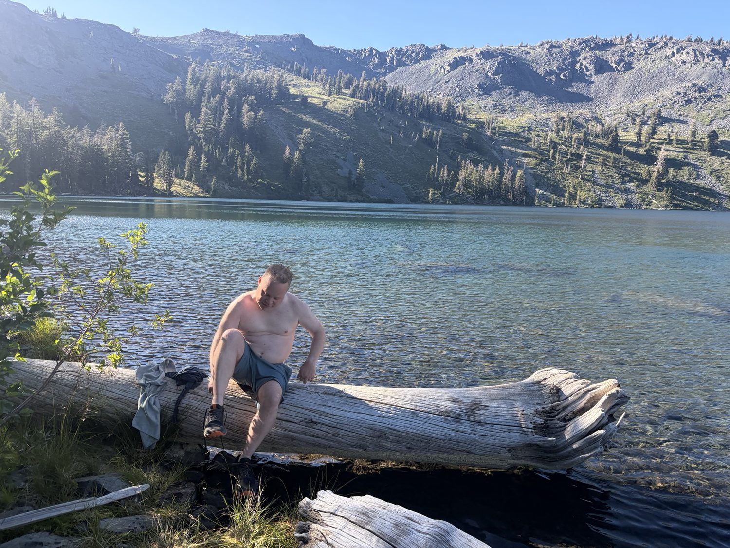
Our last camp together, at a lake near Gilmore. A swim, a good night, and an early goodbye at the trail junction the next morning.
Splitting up in the backcountry isn't a small decision, and I felt the weight of the choice walking away from that junction. As matters turned out, their hike down had more excitement than any of us wanted. There was a slipped step on a steep section of the Tallac descent, a real scare, and a scratch and a bruise whose full story I didn't hear until days later, over a beer, when I saw the mark on my friend's face and was glad all over again that the fall had stayed a story to tell. Everyone got down safely. That is the only number that matters.
Getting off the trail at the right moment is the most experienced call a hiker can make. Everyone got down, and everyone got home.
Dicks Pass Leaving the wilderness, alone
From the Gilmore basin, I went on alone. The trail climbs to Dicks Pass, which is the high back door out of Desolation, and drops the far side past a chain of blue tarns. Dicks Lake, Fontanillis, and the two Velmas each sit in their own granite bowl with the Crystal Range still visible along the western sky. These were my last miles in the wilderness, and the first I'd walked entirely by myself. Walking solo is different from walking with company, being quieter and more inward, with every decision entirely mine. Those miles are also when I relied most on the map in my pocket, since there was no one to check a junction with. My planned route was always there, my location was always marked on the line, and no signal was required.
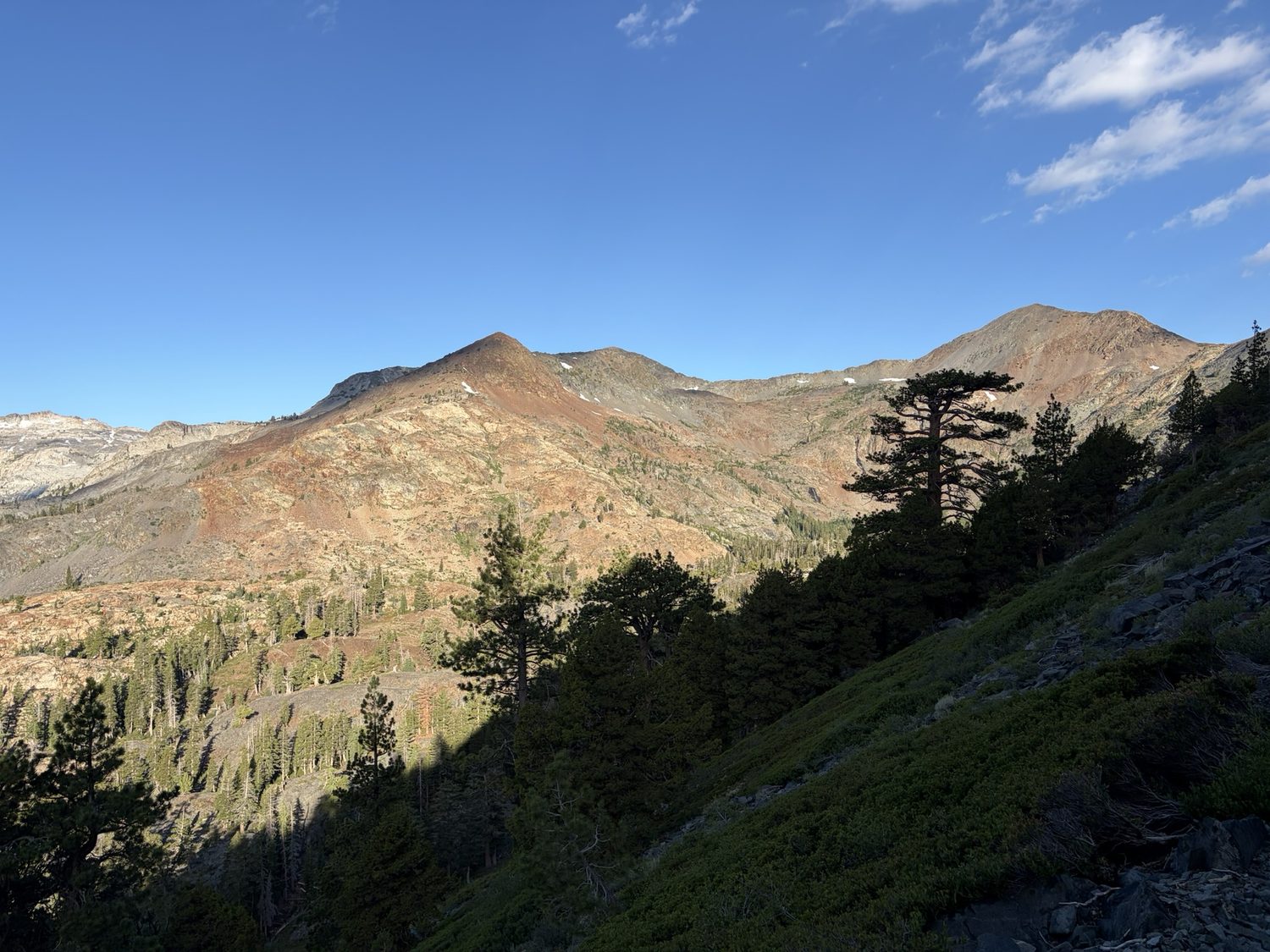
From near Dicks Pass, the Crystal Range on the skyline. The high point of Desolation, and the last big climb of the leg.
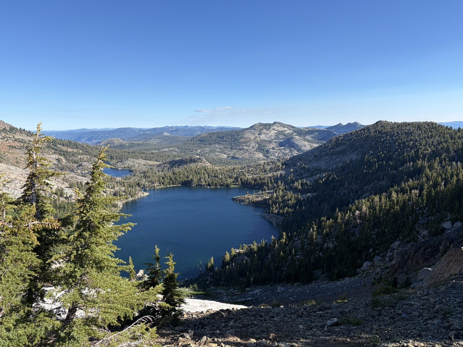
Dicks Lake and Fontanillis, below the pass. There's a new one around nearly every corner, each bluer than the last.
North of the Velmas the trail leaves the high granite and drops into forest, past Richardson Lake and out of Desolation, trading the big alpine views for quiet green miles. I passed a few PCT hikers heading the other way, and one of them stopped me, a gray-bearded guy sitting on a log, tired and not moving much. I asked if he was okay. He didn't spark up, so instead of walking on I dropped my pack and sat down next to him, and offered him some food. Between the food and just having someone to talk to, he started to come back to life. His trail name was Manitowoc.
Once he'd rehydrated a little, he asked me straight out where the next resupply point was. He's a PCT'r, I'm a TRT'r, and our resupply points don't line up, so I honestly didn't have a good answer for him. He tried a different question instead, which was "How far to 80 or Truckee?"
This is where Backpackers Friend had a genuine shining moment. We pulled out paper maps first, compared them, and complained about them the way you do out there. Then I opened the app's measuring tool, the one that snaps to the actual trail on-device with no signal required, and by luck I already had the map tiles downloaded for that stretch, since that stretch overlapped with my own route. I traced a line toward Truckee. The app worked through the route for a second, and Manitowoc said, "You made an app? There's no signal." "I made an app because there's no signal," I told him. Then the number came back at 44 miles. "Well, that's only three days from here," he said. "Easy. I can do that."
We kept talking after that, and the conversation went further than trail small talk usually does. We're actually planning to collaborate on a new business together now, the kind of idea where you either catch the window of opportunity or you don't. I was alone on this stretch, but on a trail this popular you're never far from another hiker, even after your own group has gone home, and once in a while you sit down next to a stranger on a log and walk away with a lot more than you brought to the log.
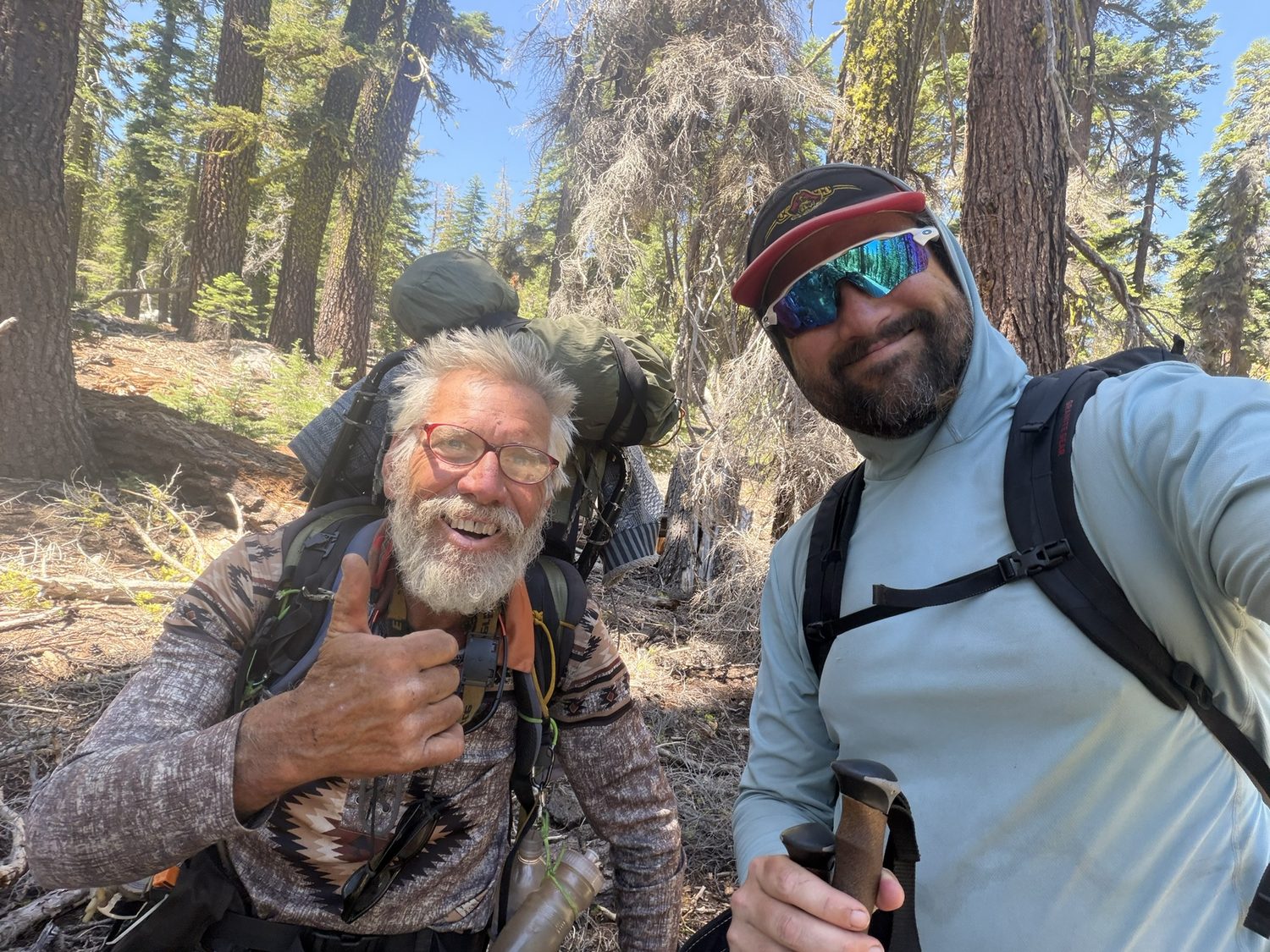
Manitowoc, recovered and back to his thumbs-up self, not long after the app got him to Truckee, on paper at least.
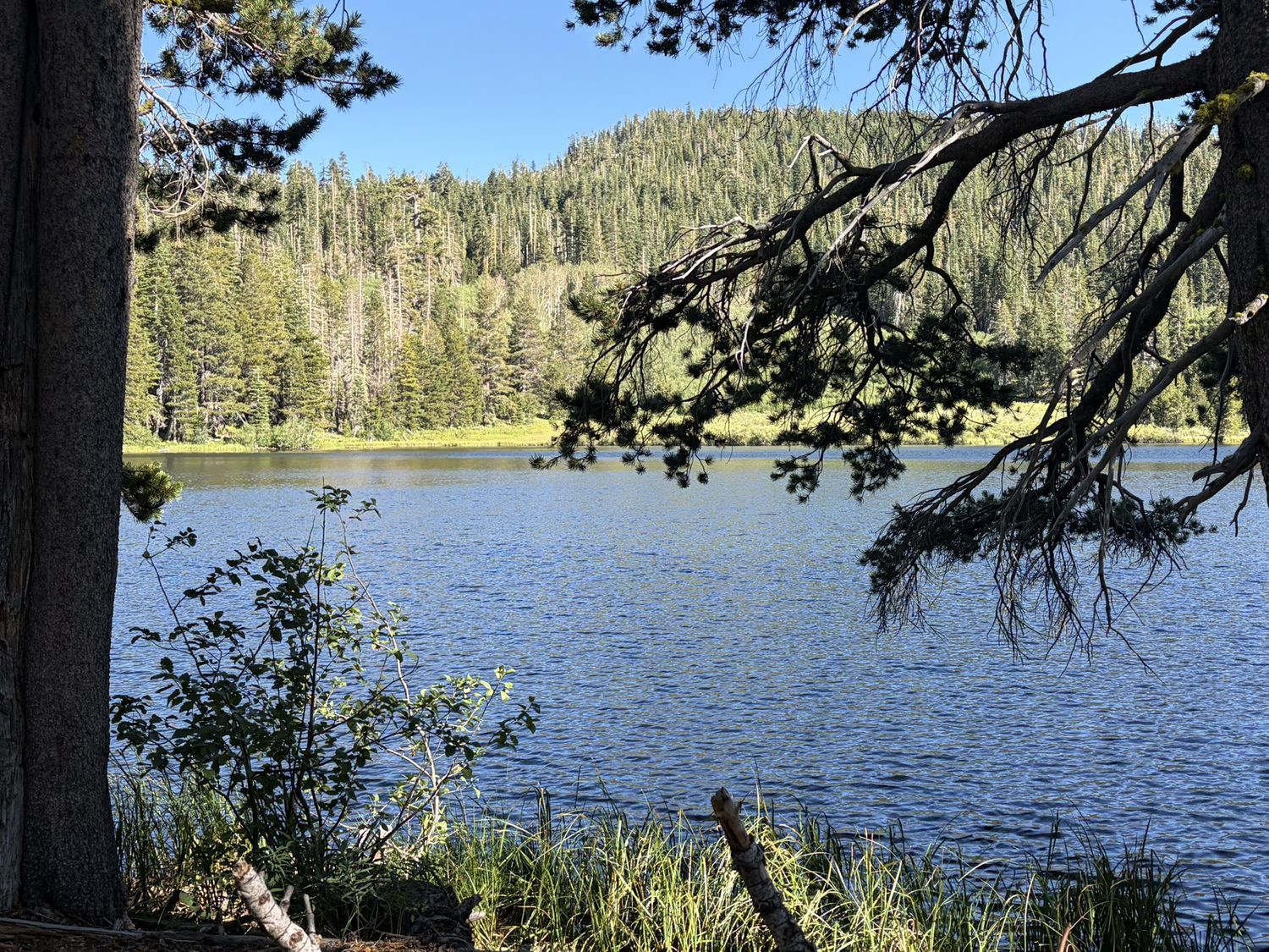
Richardson Lake, the gentle far edge of Desolation, and where I camped that night, 14.8 miles and 2,543 feet of climbing from Gilmore, my first night completely alone.
Tahoe City Granite Chief, and a beer at the end of a leg
The last day of the leg was the longest single day of the whole trip at 22.5 miles with just over 4,000 feet of climbing, and that day climbs into the Granite Chief Wilderness above the Palisades valley. Early on I fell in step with a Swiss hiker and a Brit, both out doing their own stretch of the trail, and the three of us walked together for about a mile trading stories before our paces pulled us apart again. That was the kind of easy, unplanned trail conversation that makes a few miles disappear without you noticing.
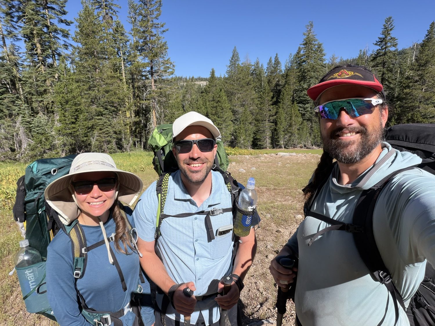
A Swiss hiker and a Brit, both on their own version of this trail, for about a mile of good conversation.
The route then swings back to the west rim for one more round of Tahoe views before the long drop toward town. Somewhere in there the trail crosses the Ward Creek Bridge, a tidy timber span with a plaque proudly dating the span to the summer of 2007, and threads the wildflower miles of Page Meadows, and then a sign says Tahoe City 3 and you know the walk is nearly done.
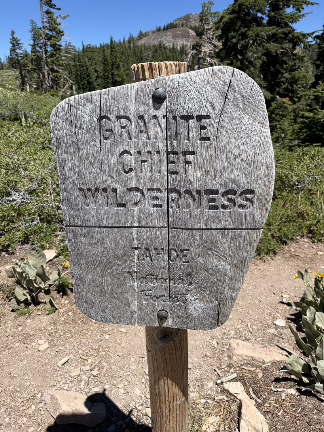
Into the Granite Chief Wilderness on the west rim. The last wild country before Tahoe City.
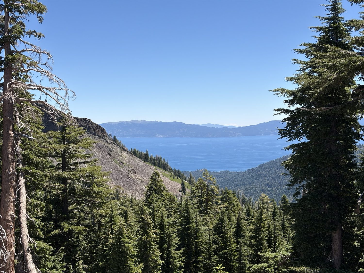
The west rim gives you the lake again through the trees, from a different angle than where the loop started.
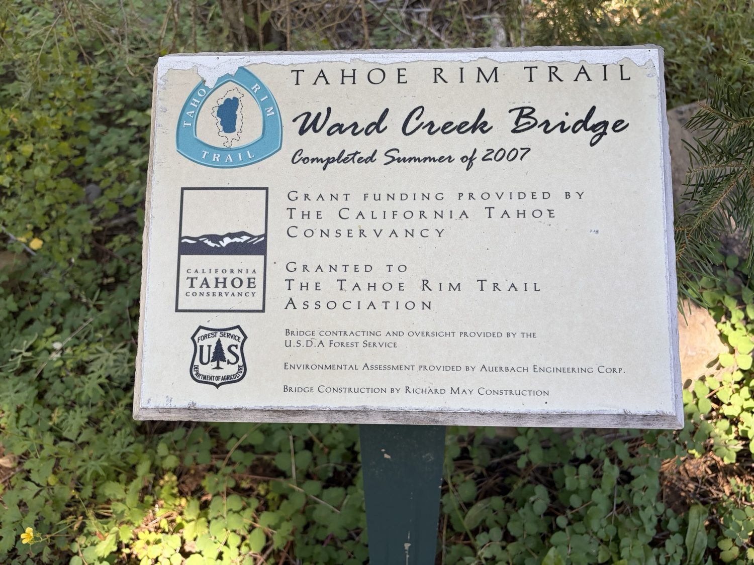
The Ward Creek Bridge, built by the trail association in 2007. Somebody carried every board of this out here so the rest of us could keep our feet dry.
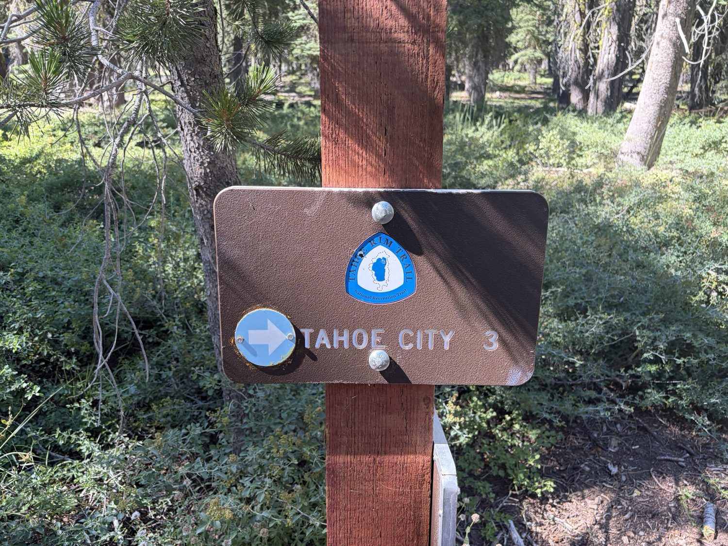
The sign reads three miles to Tahoe City. On Leg 1 that same town was a rumor 73 miles away. Now the town is an hour off.
I walked into Tahoe City tired, filthy, and quietly proud. I checked into the Pepper Tree Inn, took the best shower of the entire trip, and put on my base layers to go find dinner, since those were the only clean clothes I had left. At the bar, another patron clocked the sunburn and the exhausted look of someone who'd been living outside for two weeks, and razzed me, half-joking, that I wasn't even done yet, since Brockway was still a day away. I bring the moment up because at the time the remark didn't land as a joke. I was running on empty, and I'd just walked the hardest, highest, most beautiful stretch of the whole loop, some of the stretch with the best company I could ask for and the best part alone, and for a second a stranger's comment made all of that feel smaller than the walk had been. Looking back, I'd rather learn from the exchange than carry the sting. When someone tells you what they're proud of, the easy and generous response is to let them have the moment, and that is the person I want to be next time. The loop wasn't quite closed yet, since the car was still waiting back at Brockway Summit one last stretch away, and the accomplishment was real either way.
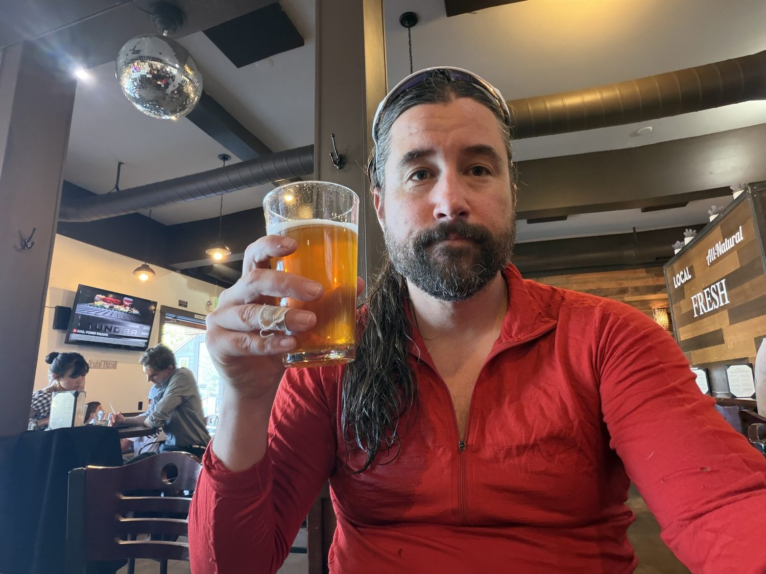
Tahoe City, Leg 3 in the bag. One stretch of trail left between me and the car.
Never solo, even when you're alone
Walking the Velma Lakes by myself, the map in my pocket was the one companion that never got tired. Backpackers Friend keeps your planned route and your position on that route front and center, fully offline, with off-trail alerts that watch your line for you when there's no one to double-check the junction. Build your route on a topo map before you go, download the map, and walk with confidence. Planning a trip is free and needs no account.
