
The First Days Were a Gift
Long before I stood at this trailhead, I'd walked the whole Tahoe Rim Trail in my head, through nine months of imagined miles that I built into an app in the months before the trip. Now I was actually here, boots on and pack heavy, the first blue blaze in front of me on a Jeffrey pine and the lake spread out below. Standing in a place I already knew so well from planning and finding the place real was strange, because now the water and the climb and all those miles were ones I would actually have to walk.
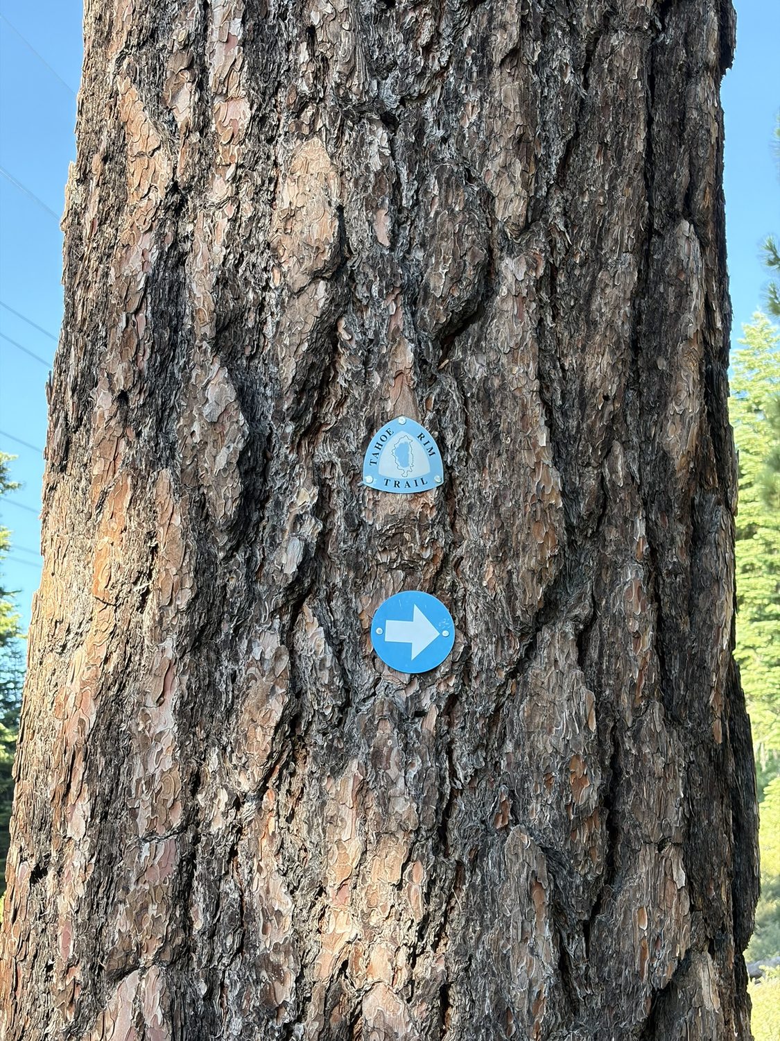
The blaze that starts everything. You learn to love this little blue triangle. There are 165 miles of them, and they never once let us down.
Day 1 Clockwise from the top
We started at Brockway Summit on the north shore and went clockwise, which is the shrewd way around this loop. Going clockwise front-loads the big Carson Range climbs while your legs are fresh and your food bag is heaviest, and saves Desolation Wilderness, the prettiest miles on the trail, for the end. Almost immediately the trail gave us a choice at a signed junction, with Mt. Rose one way, Brockway behind, and the rim ahead. We'd made that decision weeks earlier at home, with every turn and campsite already saved as a waypoint and the route between them snapped to the real trail. A route you've planned yourself is one you actually understand when you're standing in front of the sign, and watching the real trail line up with the plan was satisfying.
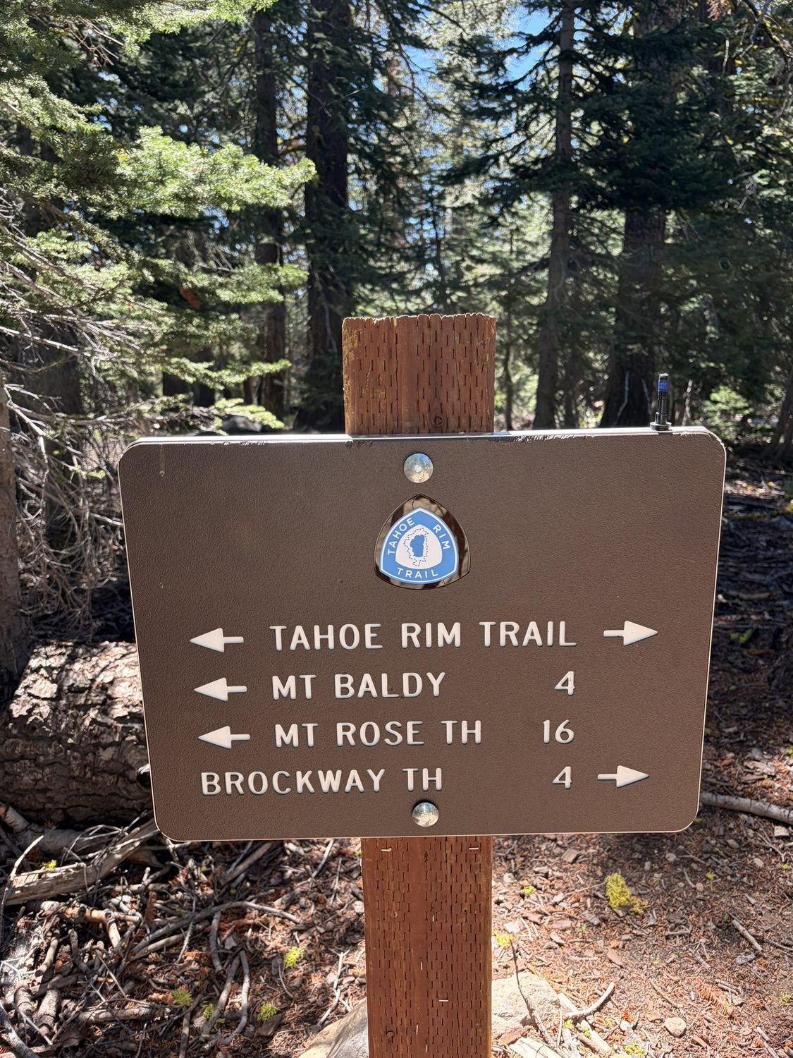
Early on the first day. Every one of these junctions was already a waypoint on my phone, and having the sign agree with you is still a good feeling.
The lake came into view early and mostly stayed there. You climb out of the trees onto open, sage-scented benches, and Tahoe lies below you, deep blue, the whole lake laid out like a map. We spent that first day taking the same photo over and over, joking that none of them would come out because you can't fit something that big onto a phone screen, and taking them anyway because every hundred feet of climbing changed the view.
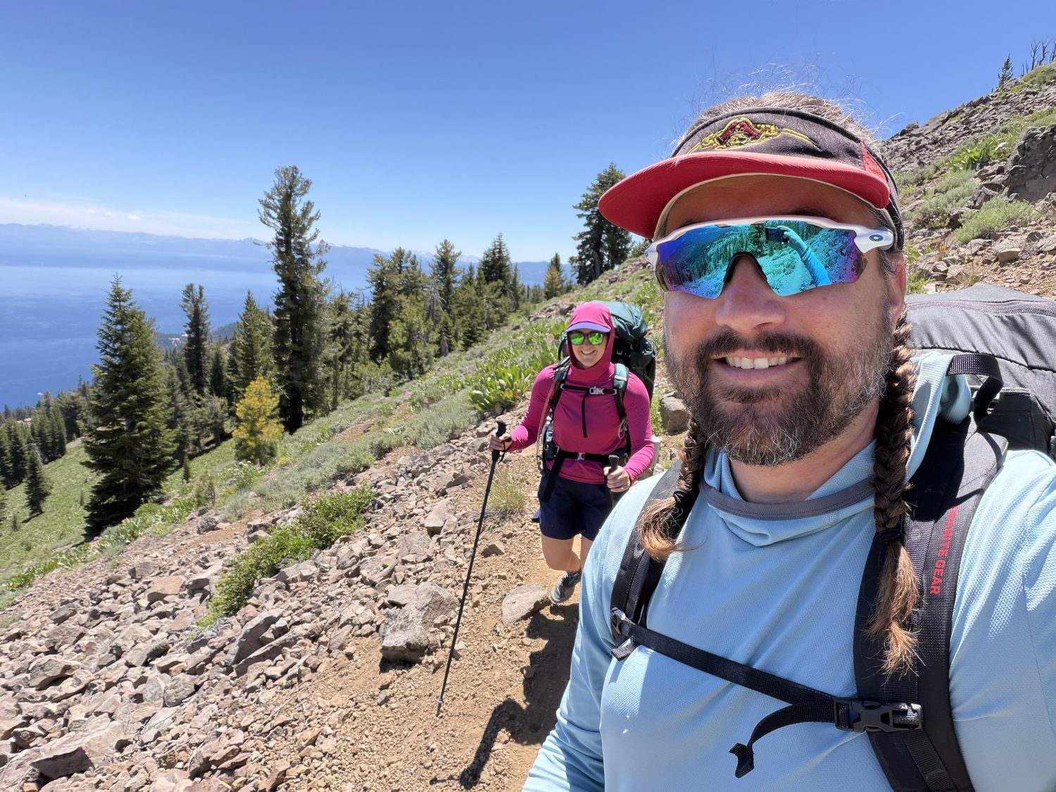
Both of us on the first day, still fresh, with the whole lake behind us.
We climbed 3,179 feet over 10.5 miles that first day, from Brockway to camp at Gray Lake, which is more elevation gain than any other single day of the whole thirteen-day trip, and that day came right at the start while we were fresh. These were the easy days, before the feet started complaining and the food got boring, and we made the most of them.
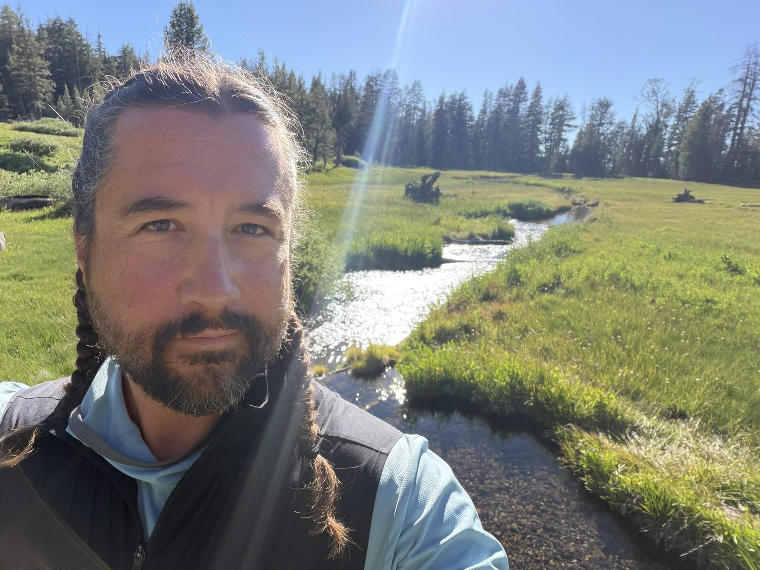
Camp at Gray Lake, the inlet winding in behind me. The reward for the single biggest climbing day of the whole trip, and that day landed on day one.
Relay Peak The high point, on day two
The trail's high point comes early on this route at Relay Peak, just past 10,300 feet, the loftiest ground the TRT ever climbs. You earn the summit through the Mt. Rose Wilderness on a long, exposed climb, and from the top you get the whole basin at once, with Tahoe on one side, the Nevada desert falling away brown and dry on the other, and the rest of the route running south along the rim as a thin line you can trace with your finger. We stayed up there longer than we'd planned. When the high point of a two-week trip comes on the second morning, there's no reason to hurry back down.
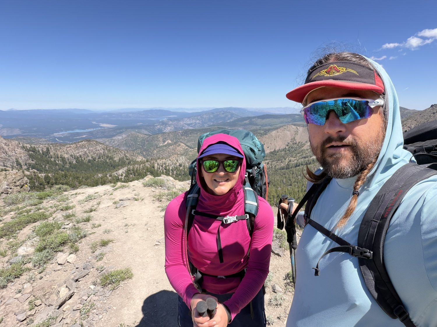
Near Relay Peak, the roof of the trail. Lake on one side, the whole state of Nevada on the other.
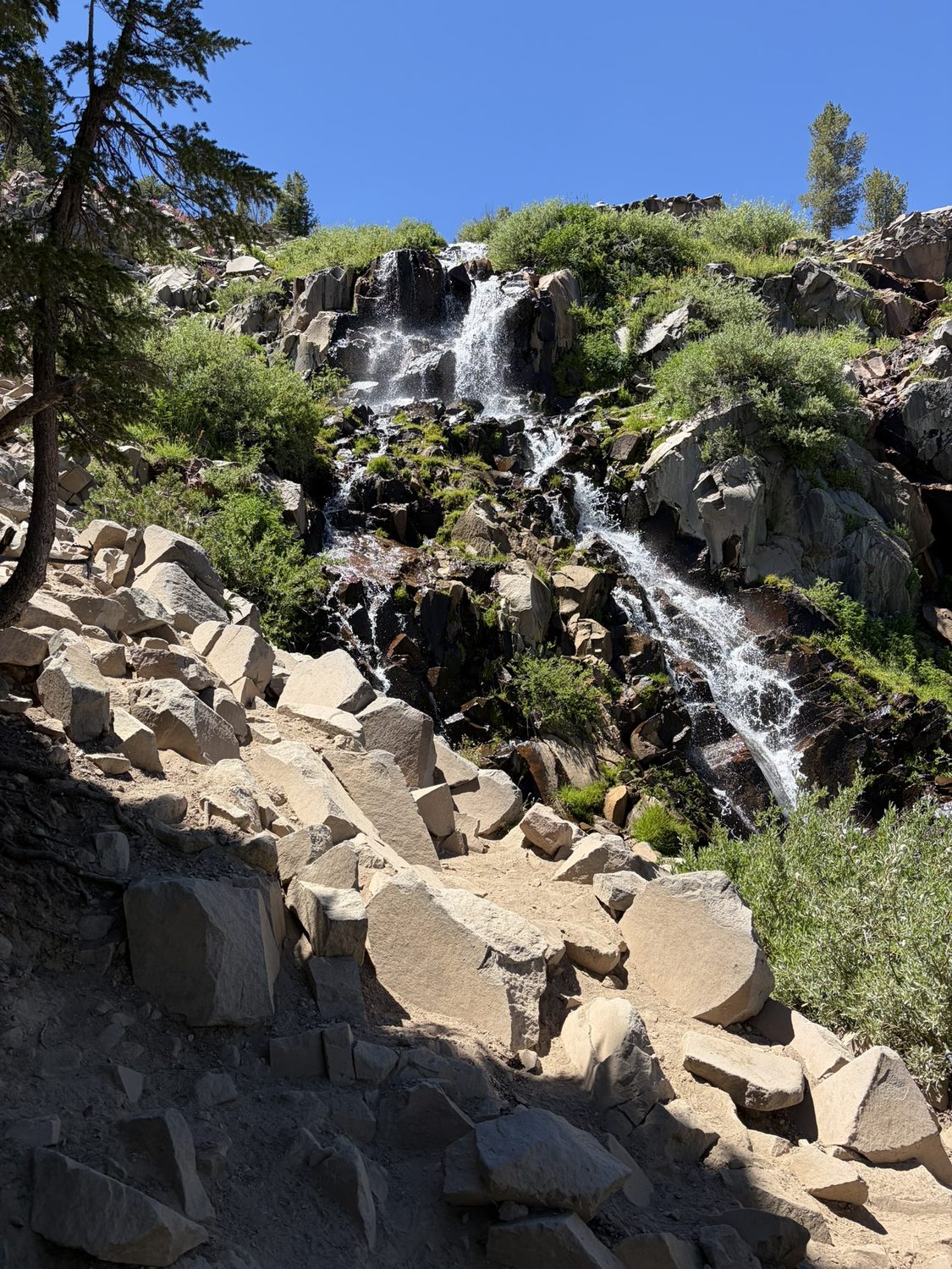
Galena Falls, where we filled up on the way down to Mt. Rose Campground. On the west side water like this is everywhere, and we didn't yet know how dearly we'd miss the water on the dry ridges ahead.
Day two added another 10.3 miles and 2,497 feet of climbing by the time we reached Mt. Rose Campground that evening, and day two gave us the element that turns a long walk into something more, which is people. That was our second night on trail, and I'd planned to camp at either Mt. Rose or Ophir Creek until we learned that camping at Ophir Creek is restricted. The host at Mt. Rose Campground let us free-camp behind her trailer instead, then mentioned, almost as an aside, that a couple down the way was hosting dinner for thru-hikers that night. We didn't need to be asked twice. There was real food, there were camp chairs, and there was a golden retriever who was thrilled about the entire arrangement. For one evening we were part of a trail family, the kind of evening that happens when a campground sits close enough to the trail.
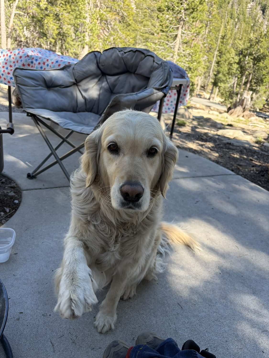
The unofficial trail-family mascot at Mt. Rose Campground. Eleven out of ten, would be greeted by again.
The east rim Marlette, and the bluest water on the trail
From the Mt. Rose high country the trail eases onto the east rim, and this is where Tahoe truly shows off. Leaving camp, we crossed a broad timber bridge over Ophir Creek, and about two miles on we passed Chickadee Ridge, which is popular enough that hikers carry birdseed just for the stop, hold out an open palm, and have mountain chickadees land right on their fingers. We hadn't planned ahead and had no seed on us, and we regretted the oversight instantly. From there the trail shares the tread with mountain bikers on the old Flume grades. They're only supposed to be out here on even-numbered days, and they are technically required to yield to hikers, but at the speed they come down these grades the yielding really runs the other way, so you learn to listen for them and step off the tread yourself. Eventually the trail reaches the Marlette overlooks, a run of viewpoints where Marlette Lake sits in the foreground and the big blue bowl of Tahoe fills everything behind. This is probably the view most people picture when they think of the trail, and we kept stopping to look.
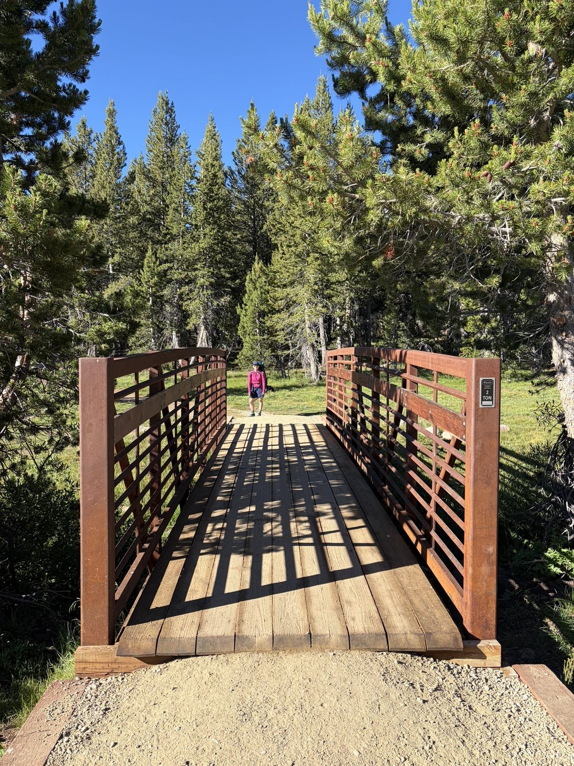
Crossing Ophir Creek on the way out of Mt. Rose Campground. The Nevada State Park section is beautifully built.
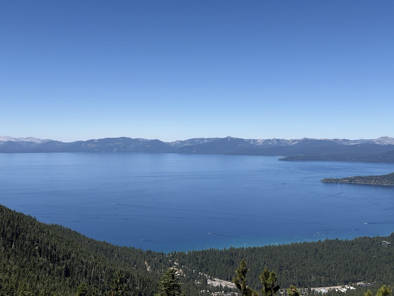
The Marlette overlook. Photos flatten the view, and standing there, the blue is almost too much to believe.
We camped that night at Marlette Campground, 13.9 miles from Mt. Rose and 2,415 feet of climbing along the way, our third night on trail.
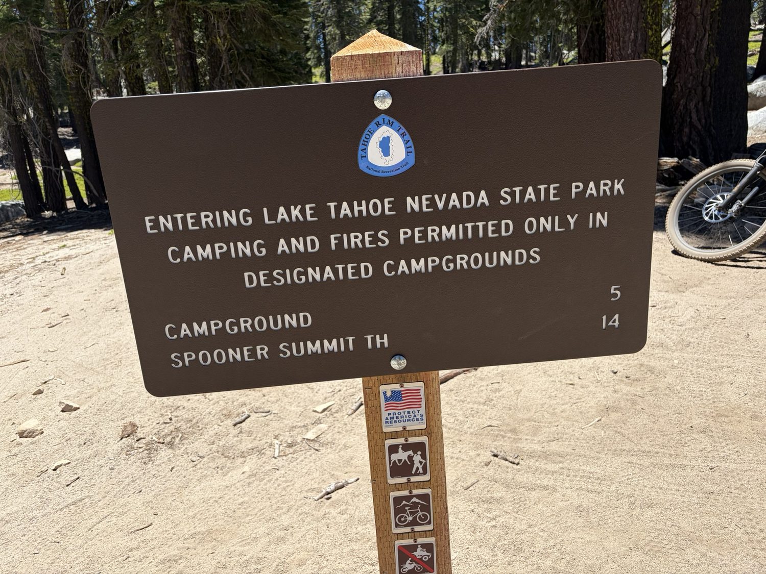
Dropping toward Spooner Summit and the Highway 50 crossing, which is the midpoint of the east rim. The sign itself has no water, and the campground does, a short detour away.
The east rim has a reputation for being hot and exposed, and we'd braced for the worst, but the rim surprised us. Most of these miles ran under real canopy and were easy underfoot, genuinely pleasant to walk. Water turned out to be the actual problem over here rather than shade. We'd read that a trailhead picnic shelter sat about 1.5 miles off the TRT, on the west side of Spooner Lake, and the shelter was worth every step of the detour for the reliable water, the real shade, and a bench to fall over on. We spent a slow afternoon there with everything out of the pack and socks drying on the concrete. I laid flat on a bench recovering from the heat while the other washed some of the dirt off.
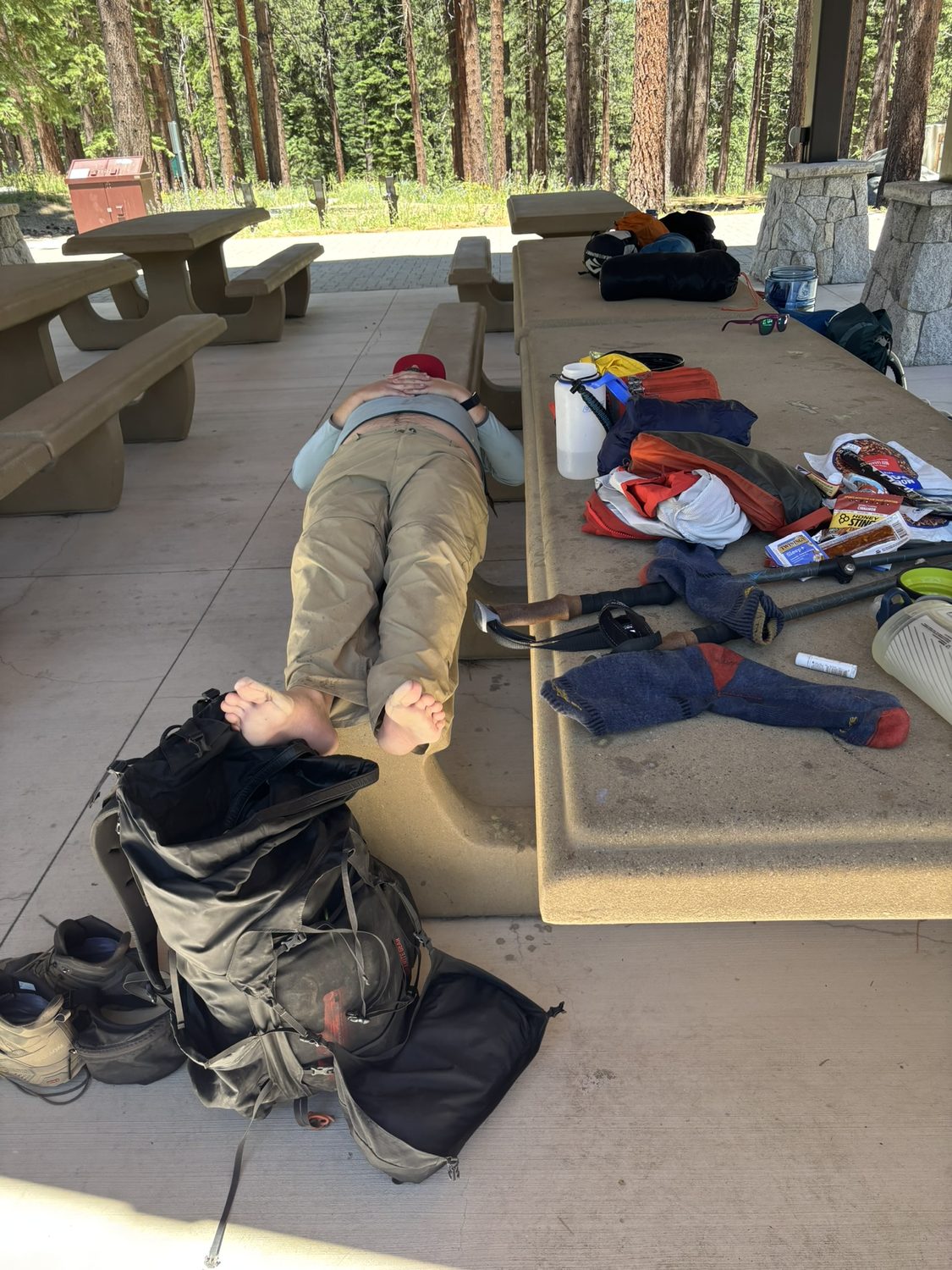
The Spooner shelter, 1.5 miles off-trail on the west side of Spooner Lake, and worth every step of the detour. Half of thru-hiking is walking, and the other half is lying very still with your feet up.
Crossing Highway 50 is more involved than the map suggests. The highway is four lanes with a center divide, and busy enough that you can't walk straight across, so we waited for a gap, crossed to the concrete median, waited again, and then crossed the eastbound lanes. The crossing felt like a game of Frogger with backpacks and trekking poles, and was nerve-racking for about fifteen seconds before we were safely on the far shoulder.
The Bench Eighteen miles, six liters, and a dry camp
South of Spooner the trail climbs the long ridge toward South Camp Peak, and the signs begin their slow countdown to Tahoe City, still 73 miles off, which is the kind of number best not dwelt upon. We didn't dwell, because we had a bigger problem. The stretch ahead was dry for nearly twenty miles, so at the shelter we'd loaded up six liters each, about twelve extra pounds, which pushed both our packs past forty. Our goal for the day was a spot everyone just calls The Bench, which sits 1,800 feet of climbing above Spooner alone, part of a day that added up to 3,360 feet and eighteen miles total from Marlette. That is a hard day of hiking by any measure, and a lot harder with six liters of water on your back. I'd read about people dry-camping near The Bench before we left home and thought the idea sounded a little extreme. That evening, after eighteen miles and a long climb, we dry-camped there ourselves.
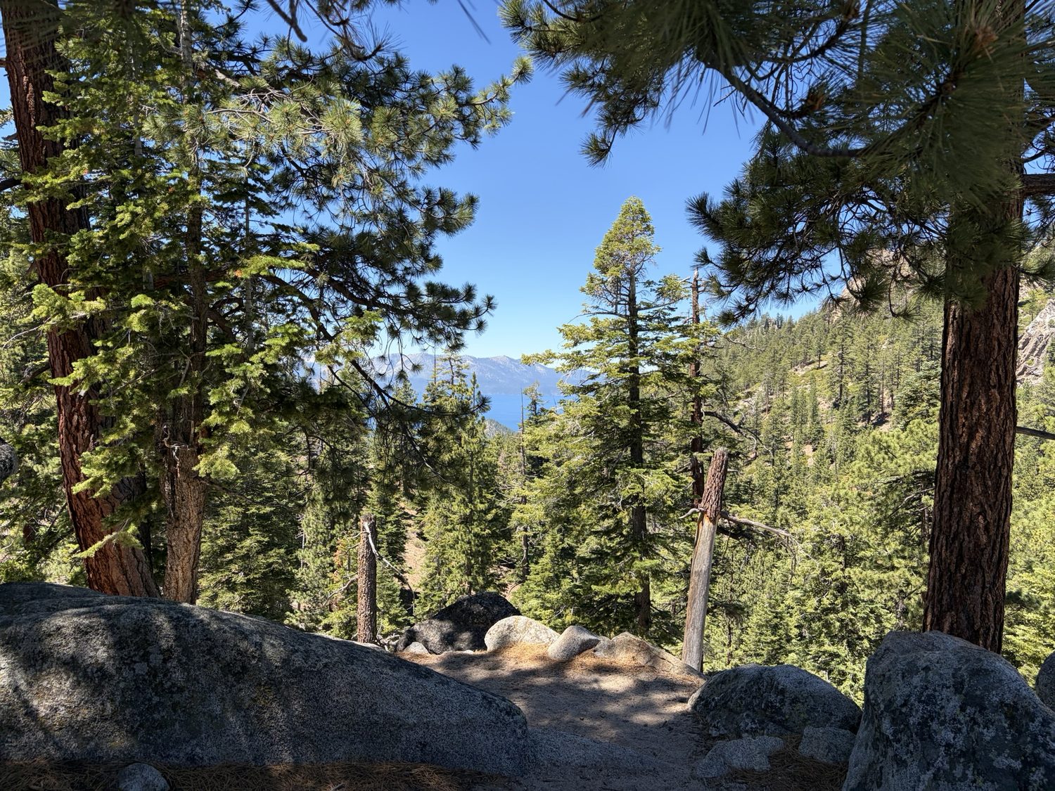
The sign reads seventy-three miles to Tahoe City. On day four, that number is a rumor. You walk to the next sign instead.
We came down off The Bench the next morning on about two liters between us, covered the last 10.7 miles of the day, finished the dry stretch, and popped out of the trees into, of all places, a Heavenly ski resort parking lot. From there a short walk took us to the Tramway Market at Kingsbury and our resupply box.
Kingsbury A bed, and 73 miles behind us
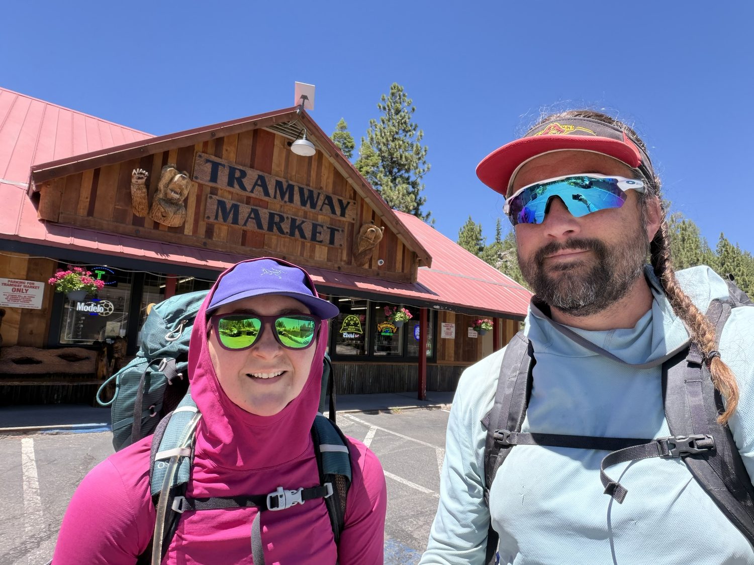
The Tramway Market at Kingsbury, the end of Leg 1, and the box we thought USPS delivered.
One note matters if you're planning your own resupply here. Tramway currently accepts UPS and FedEx only, and USPS will not deliver to them. When I sent our resupply package I sent the box via USPS because I thought USPS was a valid courier. In hindsight, I must have just misremembered, maybe mixing up the rule with the Tahoe Rim Trail Association's thru-hiking notes mentioning that USPS “General Delivery” is accepted elsewhere on the trail. What actually happened is that my wife, at home, realized our USPS shipment was at real risk of being held and returned to sender. So she drove to Nevada herself and hand-delivered our resupply box to the Tramway counter. We had no idea any of this had happened until we got home. That box being there waiting for us had nothing to do with USPS and everything to do with her.
The first four days were a pure gift. We spent them the only right way, grateful and unhurried and slightly unable to believe our luck.
We were sixty-three miles in, sunburned and happy. We carried our resupply box straight to the Ridge Sierra, checked in, and made ourselves comfortable enough that the staff propped the doors open. Two weeks of trail doesn't smell great in a lobby. Ridge Sierra turned out to be exactly what we needed, with separate rooms, separate bathrooms, and a washer and dryer to get one real wash of our clothes in before the next stretch. We were grateful for every part of that.
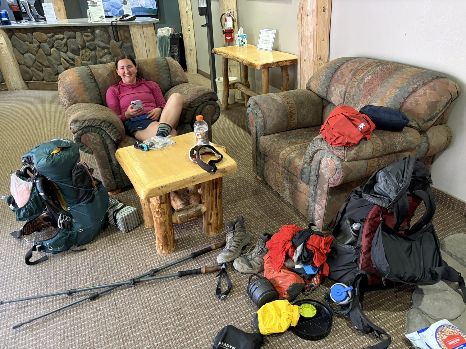
Ridge Sierra, gear exploded everywhere, feet up at last. We slept under a real roof for the last time in a while.
The complete 70-item gear list for this leg, with the hammock, the Firebelly underquilt, and the Blue Kazoo, opens in Backpackers Friend at a base weight of 19.7 pounds, and I review the main pieces of that kit on the gear review pages.
Ahead lay the high part of the trail, Star Lake and the Freel Peak country, under a sky that had been blue for four straight days and was about to turn on us.
Plan the trip the way we did
Every junction, campsite, and water stop on this leg was a waypoint I'd saved before we left, with the route between them snapped to the real trail and downloaded for offline use. Backpackers Friend lets you build a multi-day route on a topo map, carry the route with no signal, and track each day as you walk. Planning a trip is free and needs no account.
