
The Storm We Saw Coming
For four days the sky over Tahoe had been a flat, perfect blue, and forgetting that weather can actually affect your plans out here was easy. Leg 2 is where the trail climbs into the highest, wildest country on the loop, through Star Lake, the Freel Peak country, and the wide meadows of Meiss. That stretch is the most beautiful of the whole loop, and that stretch is also where we ran into a real thunderstorm.
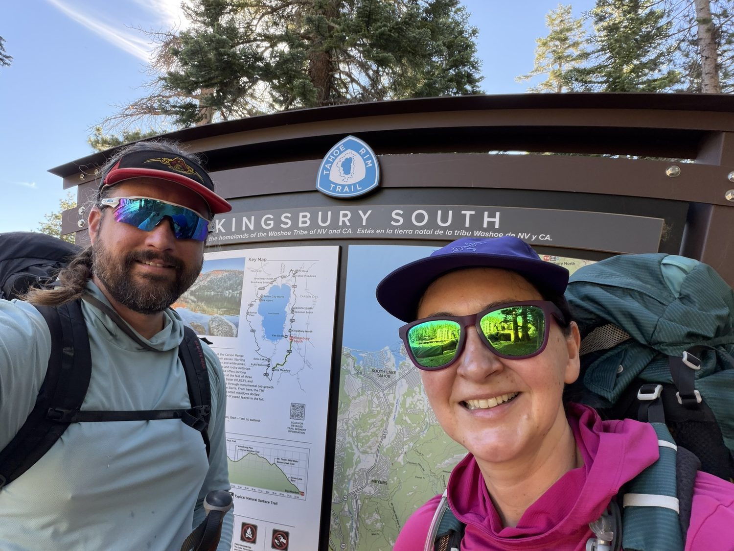
Kingsbury South, resupplied and back on trail. From here the route climbs straight up into the Carson Range.
The climb Up through Heavenly to Star Lake
Leaving Kingsbury, the trail wastes no time going up. The route threads through the top of the Heavenly ski area, with chairlifts hanging silent over summer wildflowers in an odd, hushed reminder of the crowds that own this ridge come winter, and then keeps climbing into true alpine country. The trees shrink and gnarl, the granite takes over, and the world cracks open south toward the spine of the Sierra. Our aim was Star Lake, tucked into a cirque beneath Freel Peak, one of the highest and loveliest camps on the entire trail, and 9.4 miles and 3,150 feet of climbing from Kingsbury.
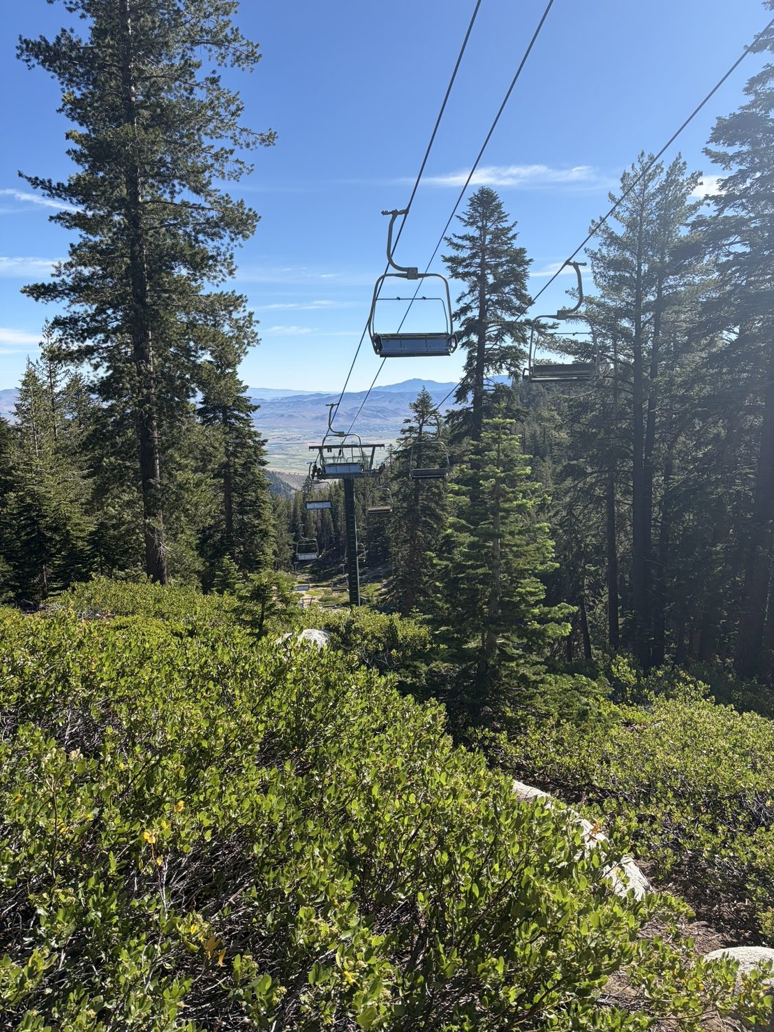
Heavenly in the off-season. Walking under a chairlift with a full pack is a strange, good feeling.
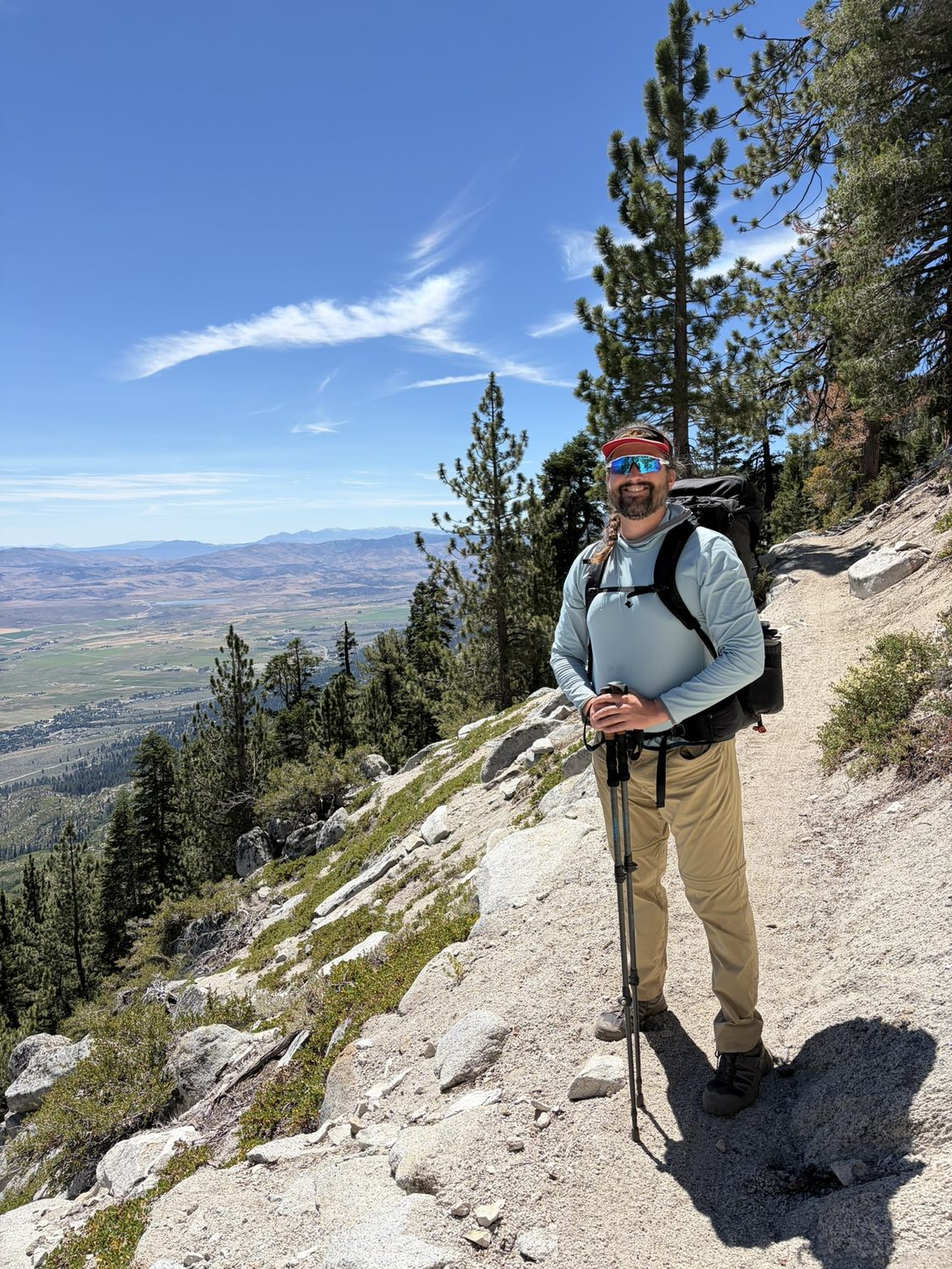
The climb toward Star Lake. This is the trail earning back everything the honeymoon miles gave away.
We reached camp with light to spare, dropped the packs, and spent the evening doing nothing at all. Star Lake went glassy as the sun dropped, the granite held onto some of the day's warmth, and we sat at the water's edge and played cards until the light was too dim to read them. Nights like that are why you carry the pack in the first place.
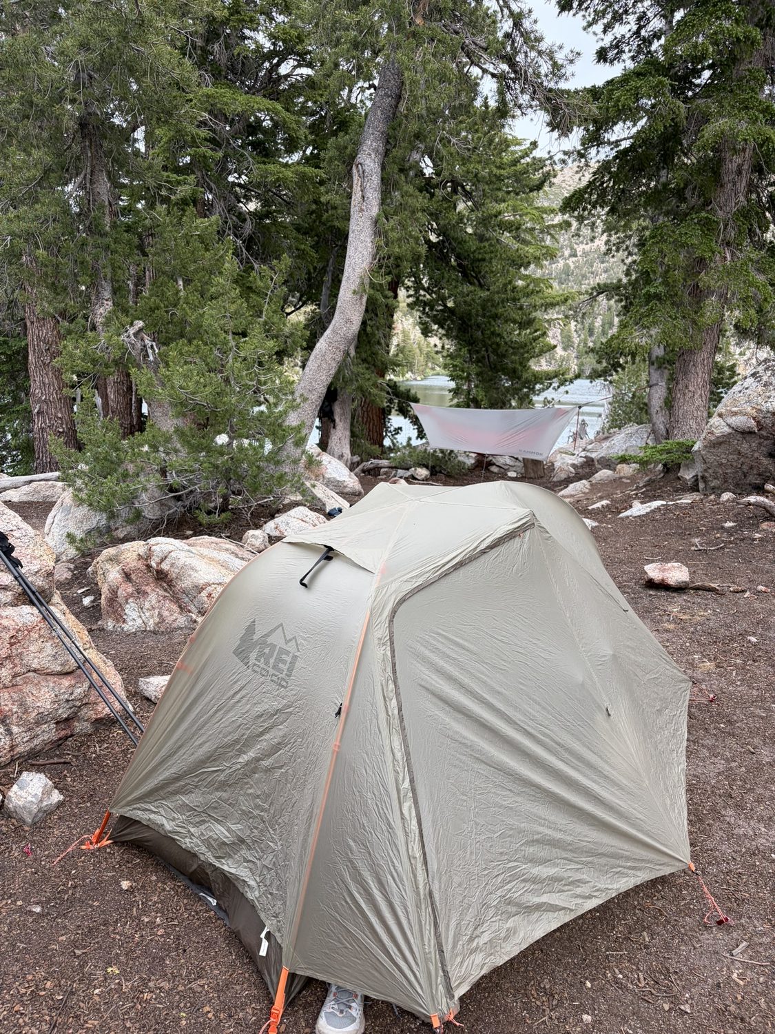
Camp at Star Lake. Freel Peak above, still water below, and nowhere else to be.
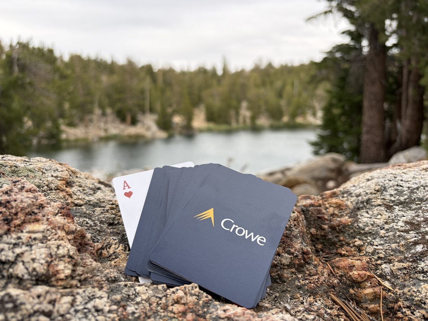
Cards on the rocks until dark. The most important gear on a long trail weighs almost nothing (technically 3ozs).
Freel The roof of the Carson Range
Morning carried us up and around the Freel Peak massif, the high shoulder of the Carson Range, where a few stubborn snow patches still clung to the north faces in mid-July. Up here the trail is all sky and long horizon, with the Carson Valley falling away to the east, the Sierra crest stacking up to the south, and lupine running purple right to the edge of the path. The whole stretch is exposed, with nowhere to take cover if the weather turns. The Tahoe Rim Trail Association posts current conditions through the season, and reading that page before a high traverse costs a minute and can change your morning.
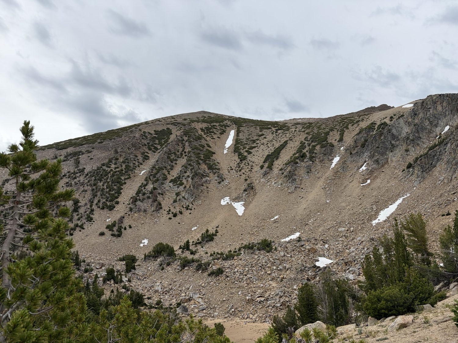
The Freel massif. Look closely at the sky over the ridge, because that cloud is the first hint of what the afternoon had in mind.
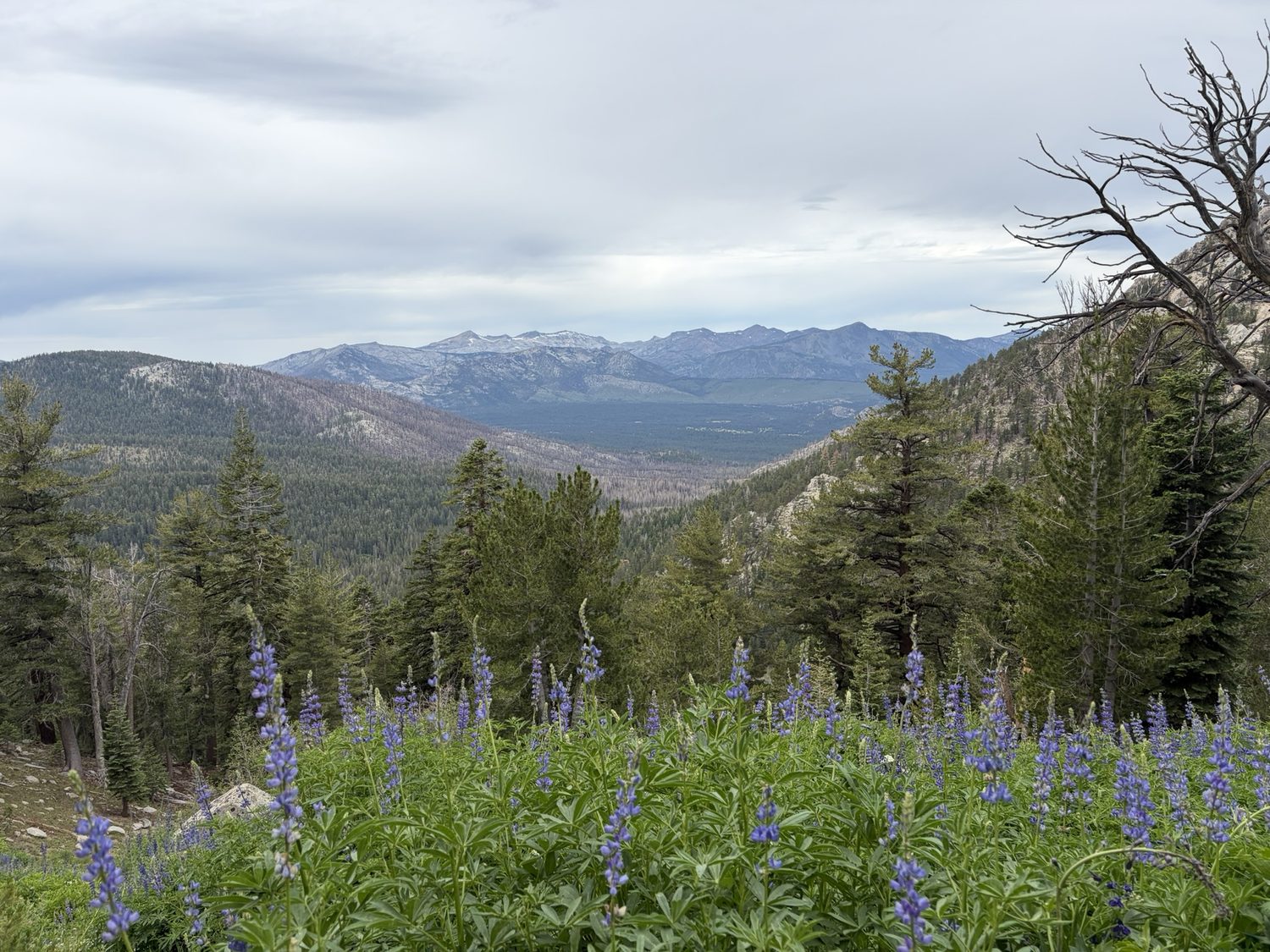
Lupine at nine thousand feet. The high country puts on a show for about three weeks a year, and we hit those weeks.
Meiss Country The afternoon the sky turned
The trail then drops into Meiss Country, a wide, soft basin of golden meadows and slow creeks that form the headwaters of the Upper Truckee River, ringed by dark forest. We walked into the basin under a sky that had started the morning bright and was now stacking up gray and heavy, faster than seemed fair. I checked the forecast on my phone, which read plainly, 60 degrees, thunderstorm. The forecast carried no ambiguity. The storm was coming, and coming soon.
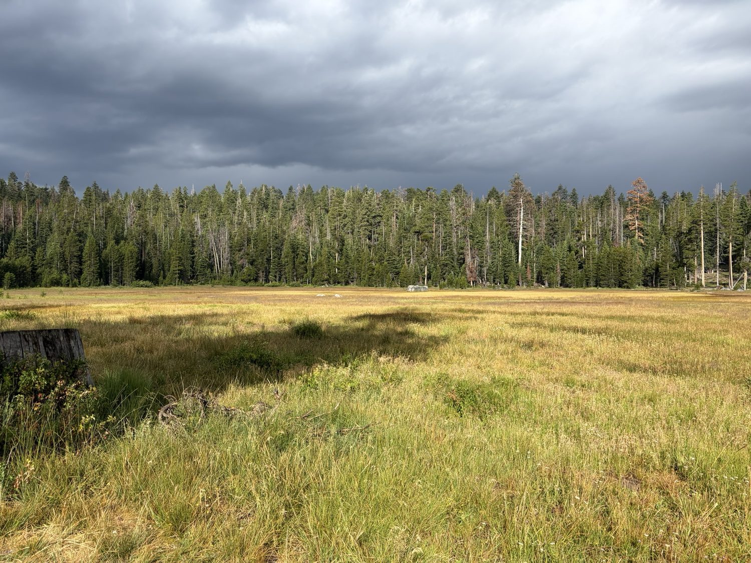
Meiss Meadow, early afternoon. A shaft of sun on the grass, and a wall of slate coming in behind the trees. You do not want to be crossing a high open ridge into this.
This is the whole reason a weather forecast belongs in a backpacking app. Knowing the storm was coming, and knowing roughly when, turned what could have been a bad decision into a simple one. Rather than push up onto the next exposed climb late in the day and make myself the high point on a ridge in a lightning storm, we timed the crossing. We walked the open meadow while the light held, layered up, and let the weather find us where being found was safe. The rain came. We had our jackets on and the ridge at our backs.
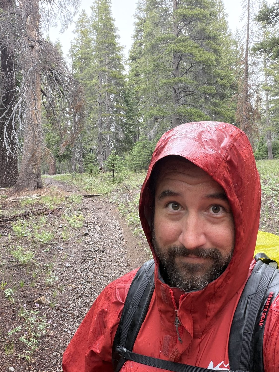
Hood up, still smiling. A storm you saw coming is an adventure; a storm that surprises you on an exposed ridge is something else.
The forecast said 60 degrees and thunderstorm. The forecast was right. Knowing that an hour early is the difference between a good story and a bad one.
Not long after, the Tahoe Rim Trail joins the Pacific Crest Trail, and the two share the same tread for a while, with the blue TRT triangle and the PCT's own marker on the same post. The shared post is a good reminder that this loop is briefly part of the much longer trail that runs from Mexico to Canada. We followed the shared path north, the storm grumbling off behind us, toward camp in the Big Meadow basin, 12.5 miles and 2,438 feet of climbing for the day, at a high lake that lay dead still and gray beneath the last of the weather.
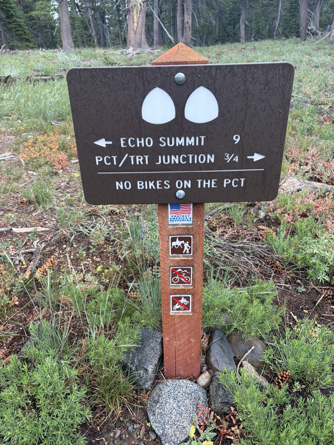
Where the TRT joins the PCT. For a while, our little loop and the big trail are the same footpath.
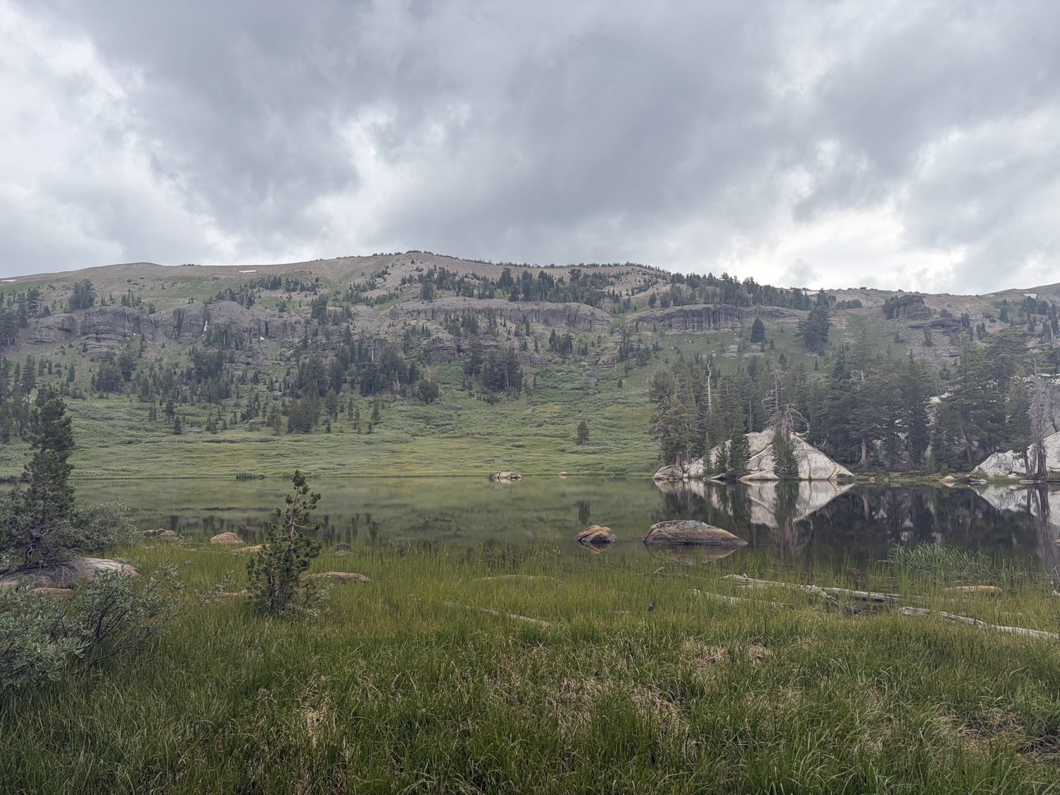
Camp at Big Meadow, under the tail end of the storm. The lake didn't move all evening.
To Echo Sunrise, and the halfway feeling
Nine easy miles the next day, gaining and losing about the same amount, brought us to a camp near Showers Lake, and the storm finally spent itself overnight. We woke to sunrise setting fire to the ridge above the water, the kind of morning that erases the previous afternoon's tension whole, and covered the last 8.8 miles of the leg toward Echo Summit, crossing a patch of the Caldor Fire burn where the shade falls away and the standing snags remind you what a dry Sierra summer can do. Echo Lake and the little chalet waited on the far side, and with them came the strange arithmetic of a thru-hike, because we were now, more or less, halfway.
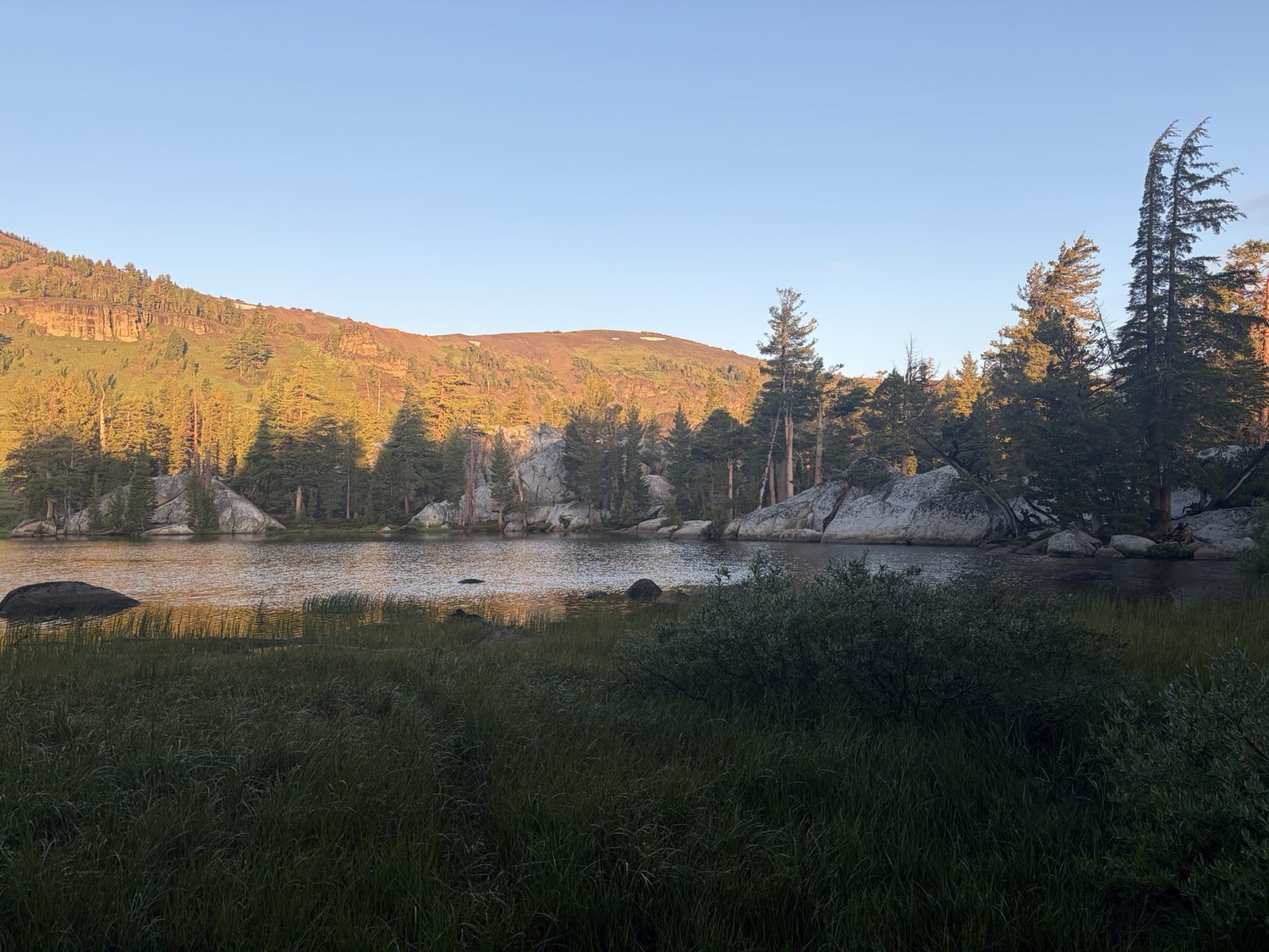
Sunrise above Showers Lake, camp packed for the last 8.8 miles into Echo.
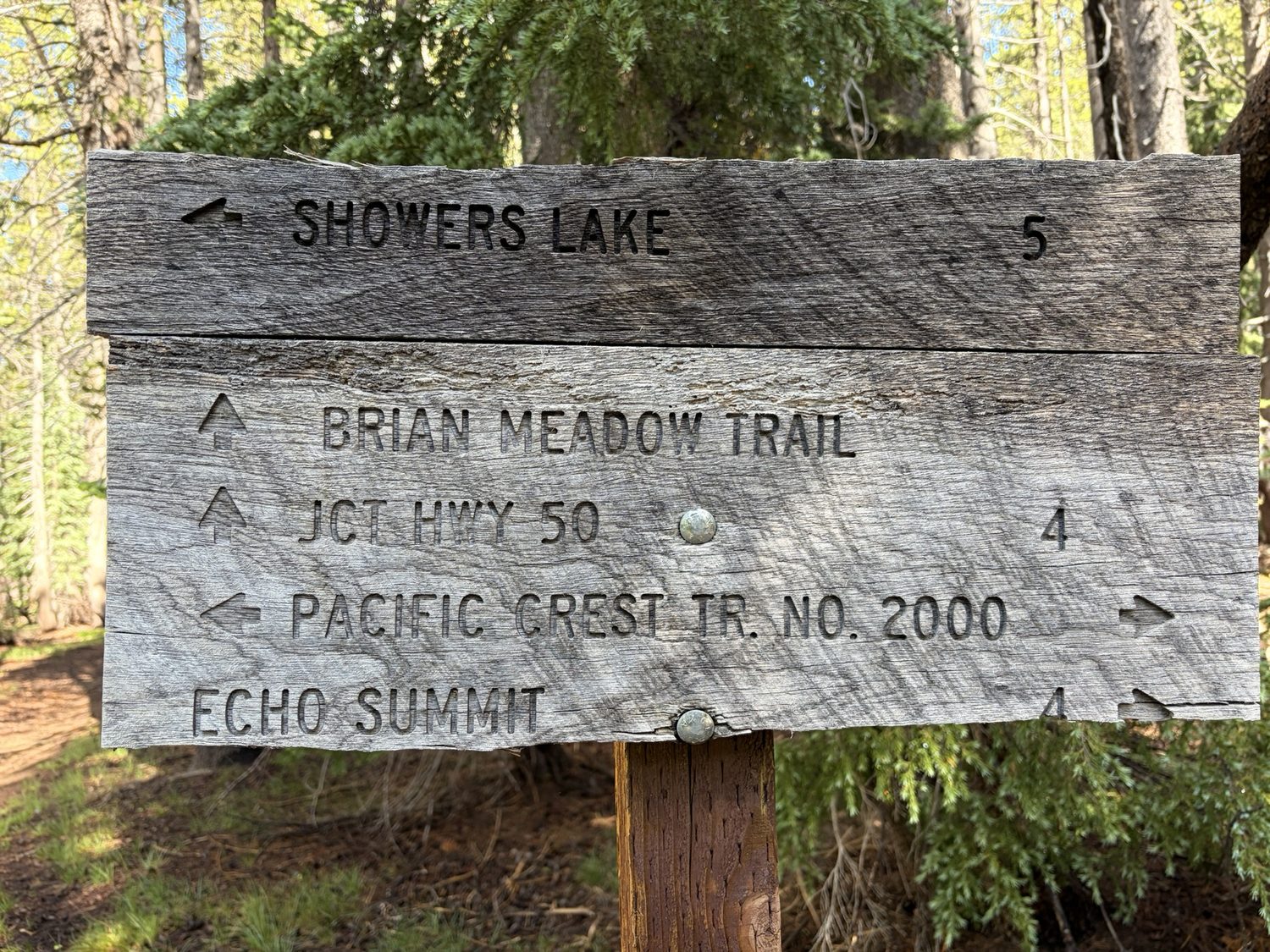
The sign for Echo Summit, the end of Leg 2, and the doorway to Desolation Wilderness.
At Echo we regrouped, resupplied, and looked ahead to Desolation Wilderness, to Lake Aloha and Dicks Pass and the granite core of the whole route. That leg turned out to be the most beautiful of the trip. That leg was also where our group split up, and where I left my party and continued on into the wilderness alone, all the way to Tahoe City.
See the storm before the storm sees you
Backpackers Friend puts a real weather forecast right alongside your route, so you can time your climbs around the afternoon storms instead of getting caught on an exposed ridge. Plan your days on a topo map, download everything for offline use, and let the app track each one as you walk. Planning a trip is free and needs no account.
