Lost Coast Trailheads, Mattole Beach and Black Sands Beach
The interactive planner compares daily legs and tide windows in either hiking direction.
The northern Lost Coast Trail has a trailhead at each end. Mattole Beach, at the mouth of the Mattole River near the small town of Petrolia, is where most hikers start. Black Sands Beach, at the foot of Beach Road in Shelter Cove, is where they finish and where most of them leave the car. We started at Mattole and finished at Black Sands Beach in February 2022, and both ends appear below as we found them and as the Bureau of Land Management describes them in October 2026.
Mattole Beach Black Sands Beach
Mattole Beach, the northern trailhead
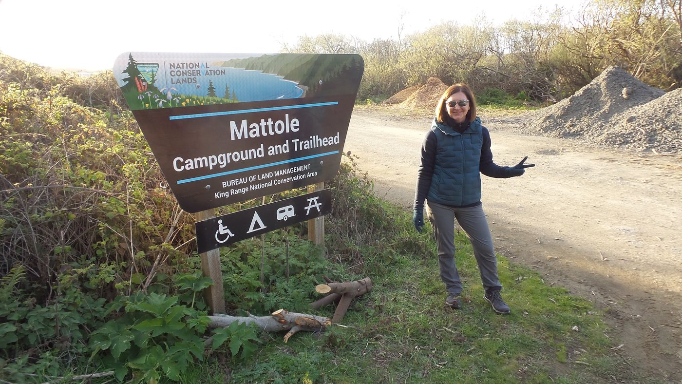
The Mattole Campground and Trailhead sign in February 2022.
The Mattole trailhead shares a site with the BLM's Mattole Campground, on the flat where the Mattole River meets the Pacific. The site also goes by Mattole Beach and the Mattole Recreation Site, and all three names mark the same place at the end of Lighthouse Road. The trail starts south along the beach from the parking area.
Getting to Mattole
- From the north, take the Ferndale exit from US 101, follow the signs through Ferndale to Petrolia, and turn right on Lighthouse Road a mile past Petrolia. The trailhead lies five miles down Lighthouse Road. The BLM allows an hour and a half for the 42 miles from Ferndale.
- From the east, take the South Fork and Honeydew exit from US 101 and follow the signs 23 miles to Honeydew, then turn toward Mattole Beach for the last 18.5 miles, about 45 minutes.
- Lighthouse Road is paved and narrow for about three miles and unpaved for the last two. Winter storms can slide the road out, so check the Humboldt County road conditions page first. Trailers are limited to 24 feet.
- Mattole Road between Honeydew and Petrolia had a bridge over the Mattole River under replacement in July 2026, with a detour bridge in place.
- Cell service is limited to none on the drive and at the campground.
Camping at Mattole
- 23 sites at $15 a night, first come, first served, paid by debit or credit card at an on-site kiosk. Each site takes up to eight people and two vehicles.
- Each site has a picnic table and fire ring, and the campground has vault toilets and bear-proof trash cans.
- No drinking water. Bring water, or treat water from the river.
- Trailhead parking and overflow parking sit at the campground for hikers on the trail.
- The nearest services are in Petrolia, about six miles back up the road. The BLM's trip planning guide lists the Petrolia General Store as a bear canister rental that takes cash only, with an ATM on site.
We spent our first night of the trip at the Mattole Campground after the shuttle dropped us off, before we had walked a single mile. Camping at the trailhead let us start south on the next morning's tide instead of racing daylight after a two-hour ride.
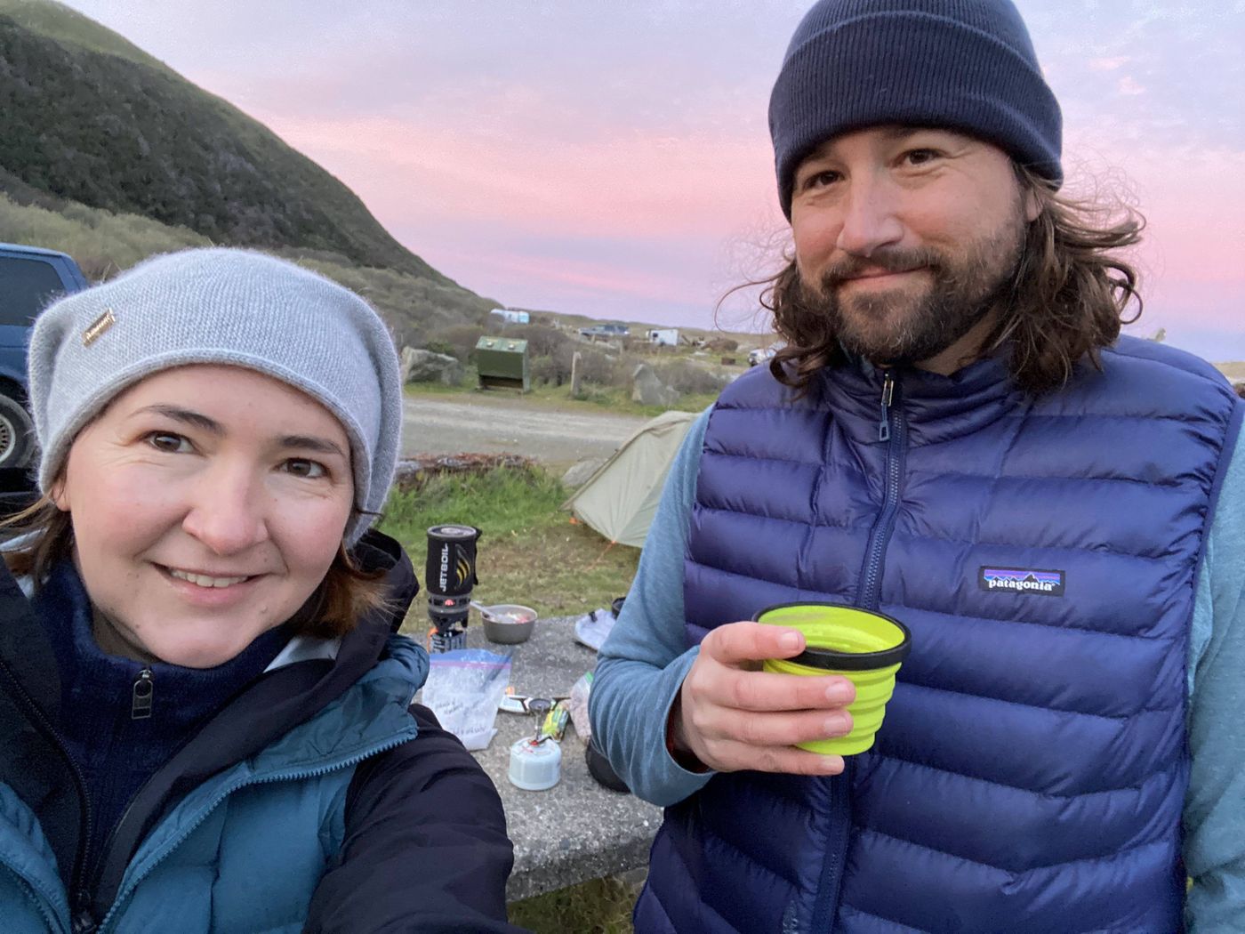
Dusk over the King Range from the Mattole Campground, the night before the walk.
Day hike from Mattole to Punta Gorda Lighthouse
The Punta Gorda Lighthouse stands 3.2 miles south of the campground along the beach, a round trip of about 6.4 miles on sand and cobble. A day hike needs no permit. The beach below the lighthouse is the first of the three tide zones, a quarter mile of boulders that the BLM rates passable under about six feet of tide, so enter on a falling tide and check the Lost Coast tide chart before you go.
Northern elephant seals haul out on the beach at Punta Gorda and sometimes lie on the trail, half buried in sand and easy to mistake for driftwood. The BLM's July 2026 report asks hikers to stay 150 feet back and walk inland around the seals when needed, and dogs must stay on leash from Punta Gorda to Sea Lion Gulch.
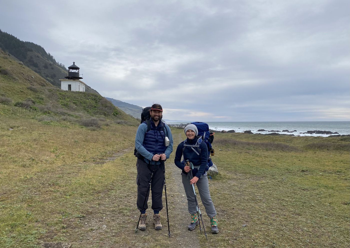
The Punta Gorda Lighthouse, 3.2 miles south of Mattole.
Black Sands Beach, the southern trailhead
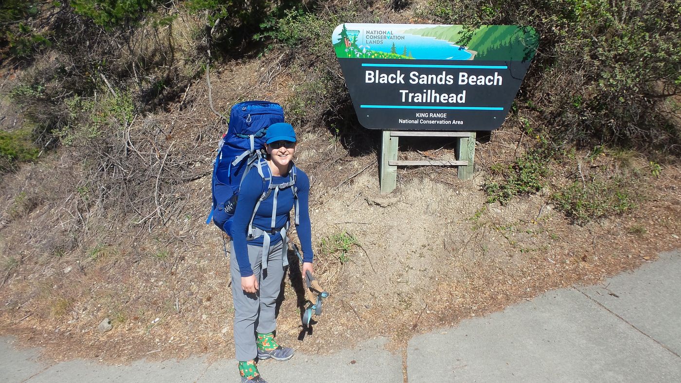
The Black Sands Beach Trailhead sign at the end of our walk in February 2022.
Black Sands Beach takes the name from the dark sand and gravel that run north from Shelter Cove below the King Range. The trailhead sits about a mile down Beach Road from Shelter Cove Road, with the main parking lot at the top and a walk down to the sand. Lost Coast Adventure Tours meets shuttle passengers in the top main lot.
Getting to Black Sands Beach
- From US 101, take the Redway and Garberville exit and follow the signs to Shelter Cove and the King Range, 22 miles and about 45 minutes. Turn onto Beach Road and follow the road down to the trailhead.
- Fuel on the way is limited to the Shelter Cove General Store, about 22 miles west of Redway, so fill up before you leave the highway.
Rules and services at Shelter Cove
- No camping at the trailhead. On the trail, backpackers may camp only north of Telegraph Creek.
- The King Range office sits at 768 Shelter Cove Road in Whitethorn, phone (707) 986-5400. The office sells walk-up permits for up to three hikers in summer and rents bear canisters for $5 a trip with a $75 card deposit. A 24-hour drop box takes canisters back after hours.
- The Shelter Cove General Store sells fuel and also rents bear canisters.
- Rooms in Shelter Cove make a sensible backup for a late finish. Our trip notes said to book a room in case the last day ran long, since the tide decided the start of that day and the drive home starts with two winding hours to the highway.
Day hike north from Black Sands Beach
The beach north of the trailhead makes a fine out-and-back walk with no permit. At Split Rock, 1.5 miles north, the BLM asks hikers to pass on the inland side of the rocks, as far from the ocean as the ground allows. Gitchell Creek lies a little more than three miles north of the trailhead and marks the south end of the tide zone that runs to Miller Flat. Past Gitchell Creek the beach needs a tide under three feet, and the zone holds active landslides north of Buck Creek, so turn around at Gitchell unless you have planned the full out-and-back crossing within a falling-tide entry and a daylight window below the limit. Check the tide chart and marine forecast before leaving.
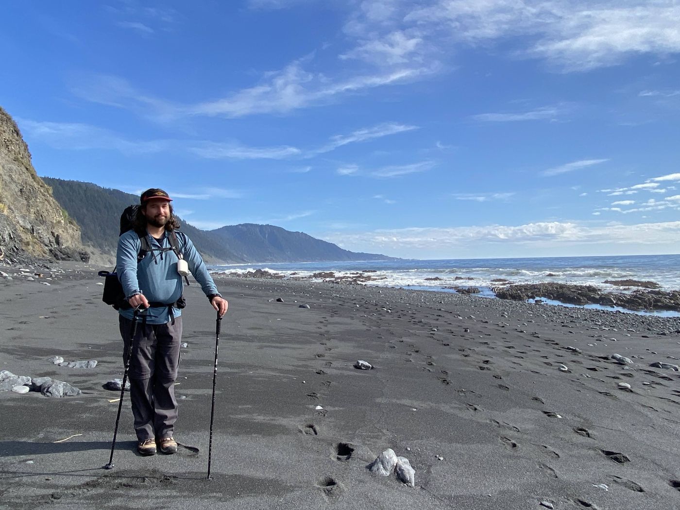
The last miles into Black Sands Beach on our final day, after the fog burned off.
Between the two trailheads
The BLM allows two hours to drive from Black Sands Beach to Mattole, so a one-way walk needs a shuttle or two cars. Two companies hold the BLM permit to carry hikers, and the Lost Coast shuttle guide covers both, along with the pickup at Black Sands Beach and our own booking from 2022. Most groups park at Black Sands Beach, ride north, and walk south to the car.
Questions people ask
Where is the Lost Coast Trail trailhead?
The northern Lost Coast Trail has two trailheads. The Mattole trailhead sits at Mattole Beach, at the end of Lighthouse Road about six miles from Petrolia. The Black Sands Beach trailhead sits at Shelter Cove, at the foot of Beach Road. The BLM allows two hours to drive between them.
Can you camp at Mattole Beach?
Yes. The BLM's Mattole Campground at the trailhead has 23 sites at $15 a night, first come, first served, with vault toilets, picnic tables, fire rings, and no drinking water. Pay by card at the on-site kiosk.
Can you camp at Black Sands Beach?
No. The BLM does not allow camping at the Black Sands Beach trailhead, and backpackers may camp on the Lost Coast Trail only north of Telegraph Creek. Shelter Cove has rooms for a night before or after the walk.
How far is Punta Gorda Lighthouse from the Mattole trailhead?
The lighthouse lies 3.2 miles south of the Mattole Campground along the beach, so the round trip is about 6.4 miles. Day hikes need no permit. Elephant seals haul out on the beach below the lighthouse, so keep at least 150 feet away.
Is there water at the Lost Coast trailheads?
The Mattole Campground has no drinking water, so bring water or treat water from the river or creeks. Shelter Cove has stores near the Black Sands Beach trailhead. Coastal creeks usually provide water, and all collected water needs treatment.
Plan the walk between them
The Lost Coast Trail guide lays out the 24.6 miles from Mattole to Black Sands Beach in two or three nights, with camps, permits, and a free GPX.
Sources
Directions and drive times come from the BLM's King Range driving directions, campground details from the BLM's Mattole Campground page, and the camping limit at Telegraph Creek from the BLM's Lost Coast Trail page. Road conditions, fuel, Split Rock, the landslides north of Buck Creek, and the elephant seal distance come from the King Range roads and trails report of July 29, 2026. Canister rentals and the leash rule come from the BLM's trip planning guide, and walk-up permits and the office address from the Recreation.gov King Range listing. The distance from Black Sands Beach to Gitchell Creek is measured on the map between the trailhead and the creek mouth coordinates in the BLM report. Confirm conditions with the King Range office at (707) 986-5400 before you go.
Plan the trip, then walk the plan
Backpackers Friend opens the Lost Coast plan as a trip on your phone, snaps the route to the trail, and lays the days out on a topo map. Planning is free with no account. Premium adds offline maps so the route works with no signal, plus off-trail alerts for the bluffs where the tread fades out.