
I Found a Tick Still Walking on Me
Four weeks after Young Lakes, my friend's Yosemite annual pass pulled us back for three more days, this time out of the Ostrander Lake trailhead off Glacier Point Road, aiming for a loop through Buena Vista and the Hart Lakes country that a guidebook said had a cross-country shortcut worth taking. We carried a paper topo map and photographs of a few guidebook pages saved to a phone, and no app knew where we were going. The lake, the hut, and the guidebook's shortcut all turned out to be the easy parts. What actually hurt us was a stretch of flat trail with no climb to explain the pain and no shade left standing.
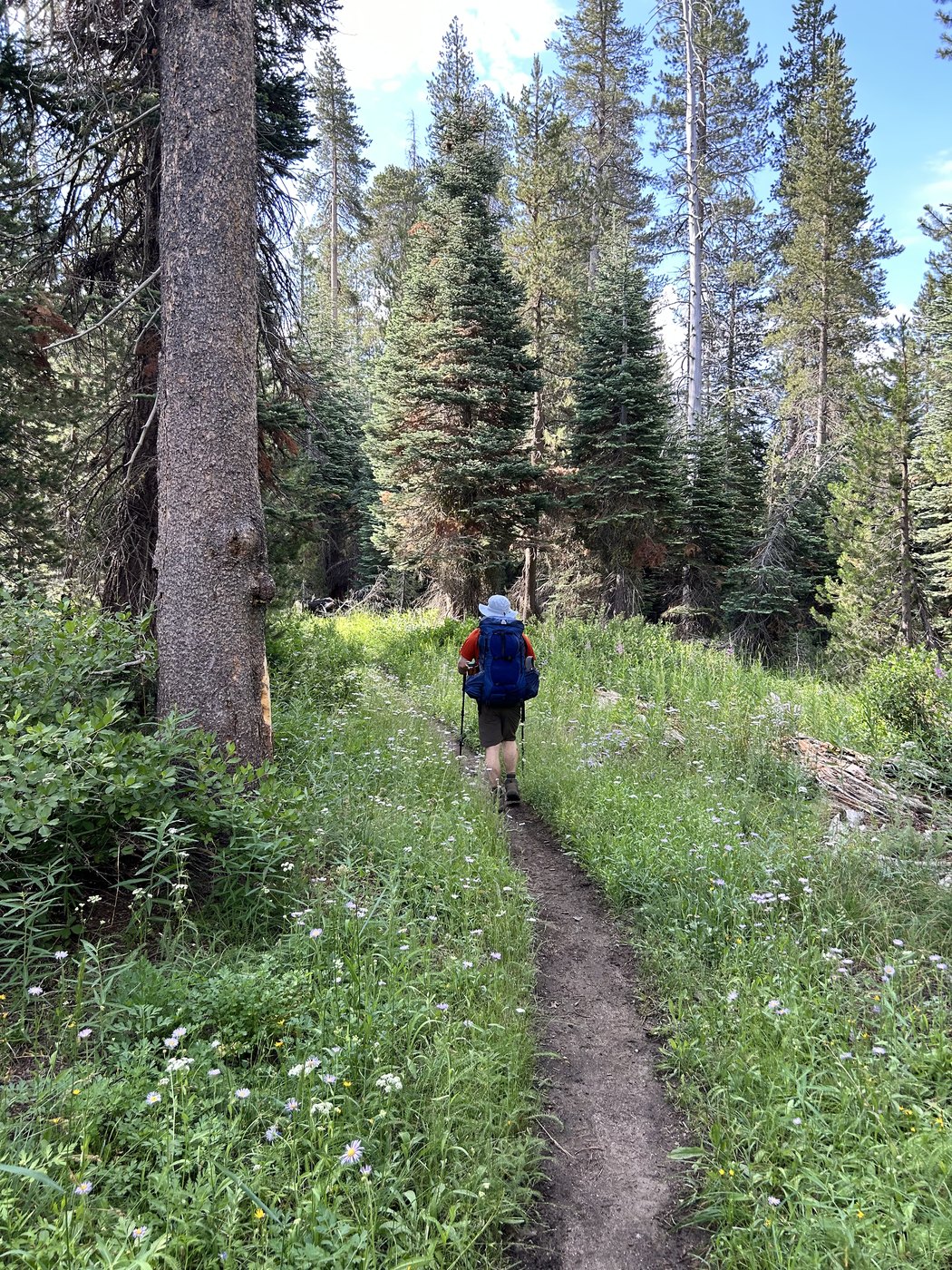
Ten to nine on Thursday morning, packs on and the trail still flat.
Less than an hour up the trail we walked into an older burn, healed over years earlier, with fireweed grown up tall and purple through the standing snags on both sides of the tread. At twenty past ten a mule string came down toward us, loaded with supplies for one of the backcountry camps ahead, and we stepped off into the brush to let the animals by. A packer nodded from the saddle. Neither of us said anything worth remembering, and the string went on down toward Ostrander.
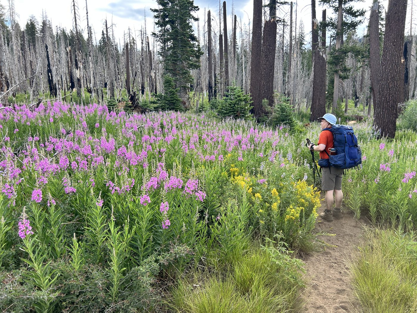
Fireweed through an old burn on the way up, healed over long enough that the ground gave no warning of a burn at all.
The Ostrander hut stood at the lake by twenty to noon, a low granite building with a rust-streaked metal roof, a small solar panel bolted above the door, and a stone stairway worn smooth leading up to the entrance. Built as a backcountry ski hut decades before either of us was born, the place had nobody around and no real reason for two guys passing through in July to go inside, so we stood on the steps, took a photograph, and kept walking.
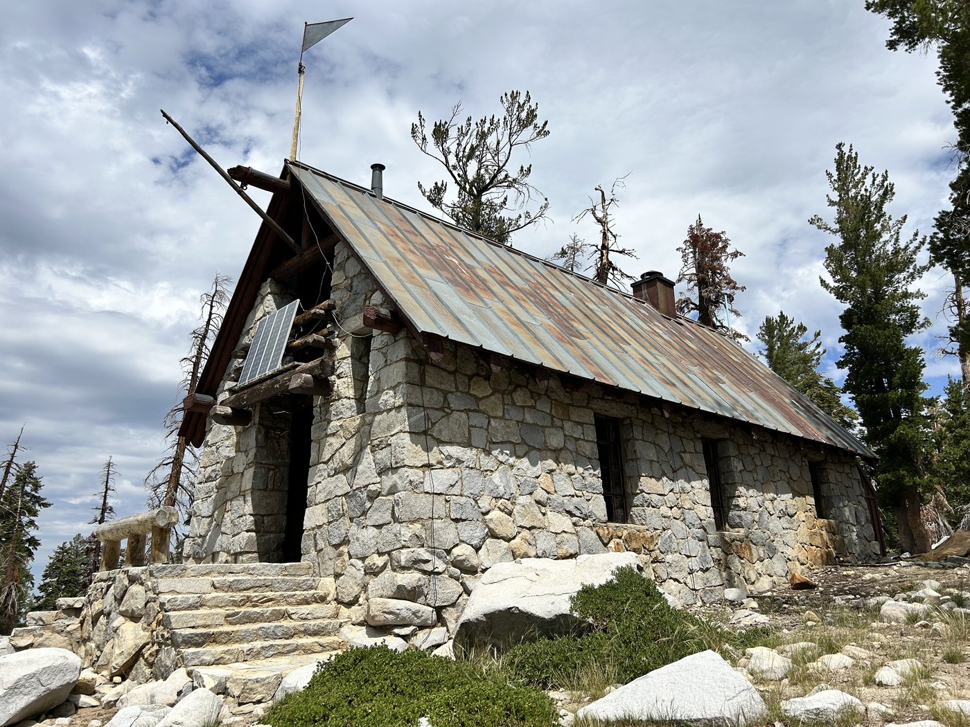
The Ostrander ski hut at twenty to noon. We looked, and kept walking.
The lake sat under a wall of granite that had been shedding boulders into the basin longer than anyone had walked that ground, and the afternoon light came down through scattered cloud and moved across the rock in long slow patches, and every so often the wind dropped and the whole surface went flat enough to hold the dome and the sky and the drifting cloud shadow together, and for a few minutes at a stretch the mountain simply handed us an afternoon that made the packs on our backs disappear.
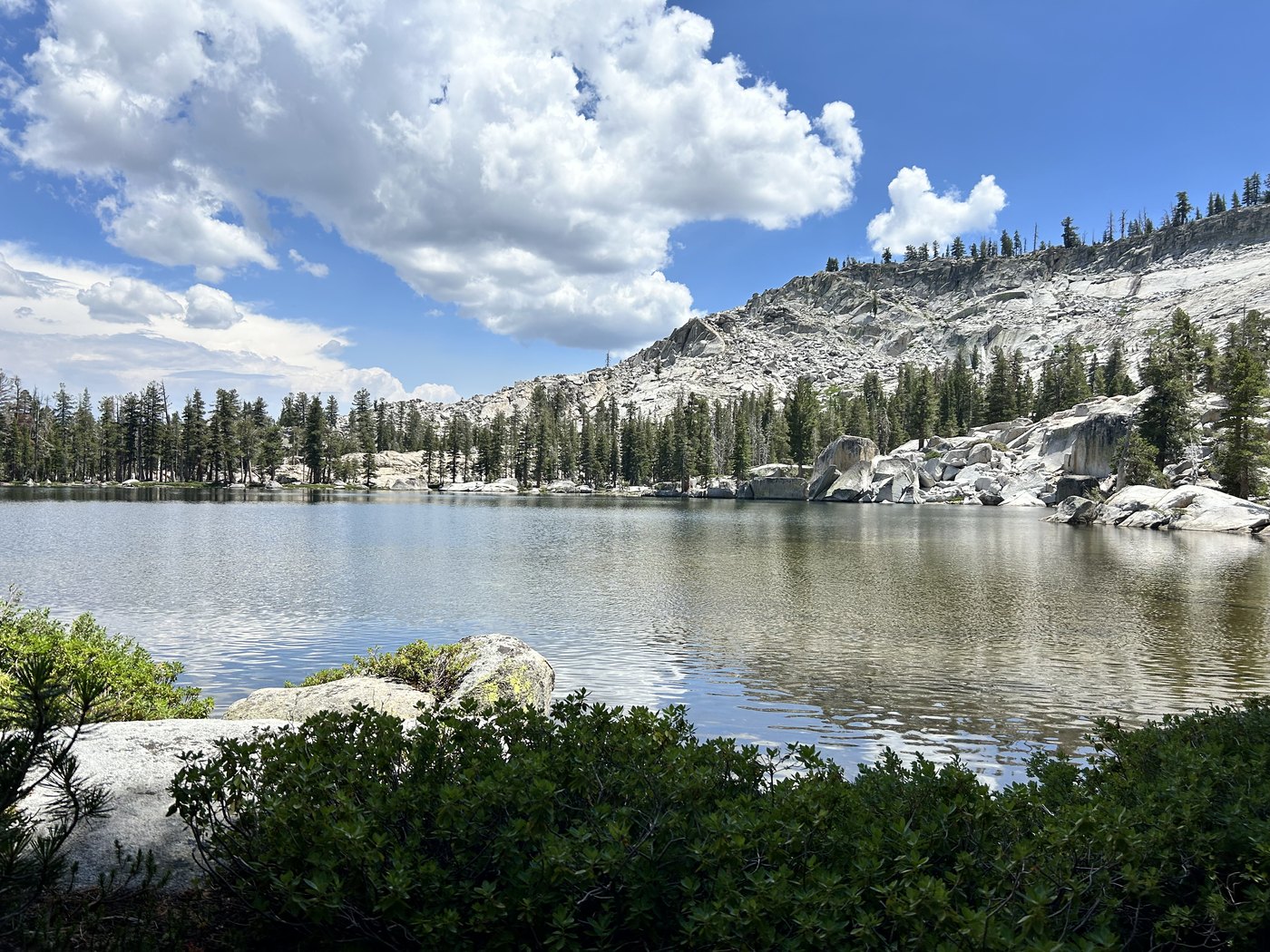
Six minutes to two, the wind down and the lake holding the whole basin at once.
We camped that first night at Buena Vista Lake. The route out of camp the next morning came from a page in a guidebook rather than from any trail sign. A guidebook writer had marked a cross-country connector linking the country above Buena Vista Lake to the trail east toward Hart Lakes, shorter on paper than the marked route around, and the description undersold what walking that ground without a trail actually meant. We went cross-country through brush and over deadfall for a long stretch, picking a line off compass bearings and landmarks rather than tread, and my friend's hiking pole snapped clean at the shaft partway through. The connector was difficult the whole way and never dangerous, and we came out on the Hart Lakes trail more or less where the guidebook promised, tired and scratched and pleased with ourselves in roughly equal measure.
A little after ten we stopped for a mushroom the size of a dinner plate, pale and ridged on top, growing alone at the base of a burned trunk. Someone back home collects photographs of mushrooms the way other people collect birds, so I put a hand flat next to the cap for scale and took the picture to send along later.
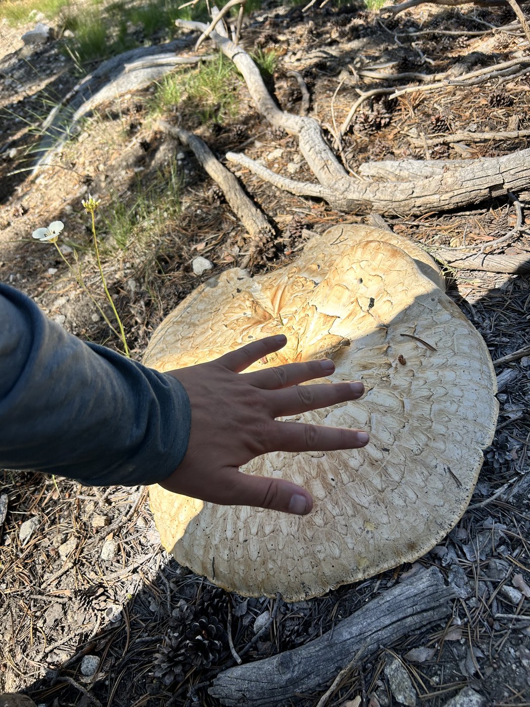
Eight past ten, a dinner-plate mushroom at the base of a burned trunk, photographed for a friend back home who collects pictures of them.
By evening we made camp in a rocky wash that looked, at first glance, entirely dry, pale gravel and flat stones running up and down the drainage as far as we could see. The water was there anyway, sitting low between the stones a short walk from camp, and finding enough for the night took a few minutes rather than a real search.
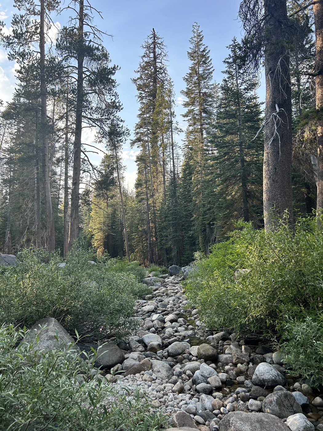
Four past seven, camp in a wash that looked dry from a distance and was not.
The morning after that started easy, green meadow and long shafts of light through trees that were still alive, the kind of walking that costs nothing. By half past nine the meadow closed up behind us and the burn began, and the burn did not let go for a long time. Every standing trunk on that stretch was dead and gray and bare of bark, and with the canopy gone the sun landed straight on the ground the whole way, and by mid-morning the temperature was already pushing past eighty. Fire had taken the shade first and handed the ground straight back to brush, and the brush had grown in sharp and shoulder-high and hungry for the open light, so what had been clear trail before the burn was now a trail buried under a season of thorned new growth.
I could not see my own feet for most of that stretch. I put a boot down wrong in the brush at one point and felt an ankle roll hard before the joint caught, which is the kind of moment that ends a trip if the angle goes a few degrees further. The angle held. I kept walking, more carefully after that.
Somewhere in the middle of that ground I picked up a tick. I did not notice until I stopped to drink, hours later, and felt something moving on my forearm and looked down to find the tick still walking there, very much alive. A tick found while still walking on your own skin comes off clean and easy, no hooks set, no scar left behind, and the whole business took about ten seconds once I actually looked.
How long that burn section actually took is hard to say honestly. My friend guessed two hours. My best guess is closer to four. Neither of us was checking a watch, because checking a watch in that kind of heat, staring at bare gray trunks in every direction, is a good way to make the number feel worse than the walking already did.
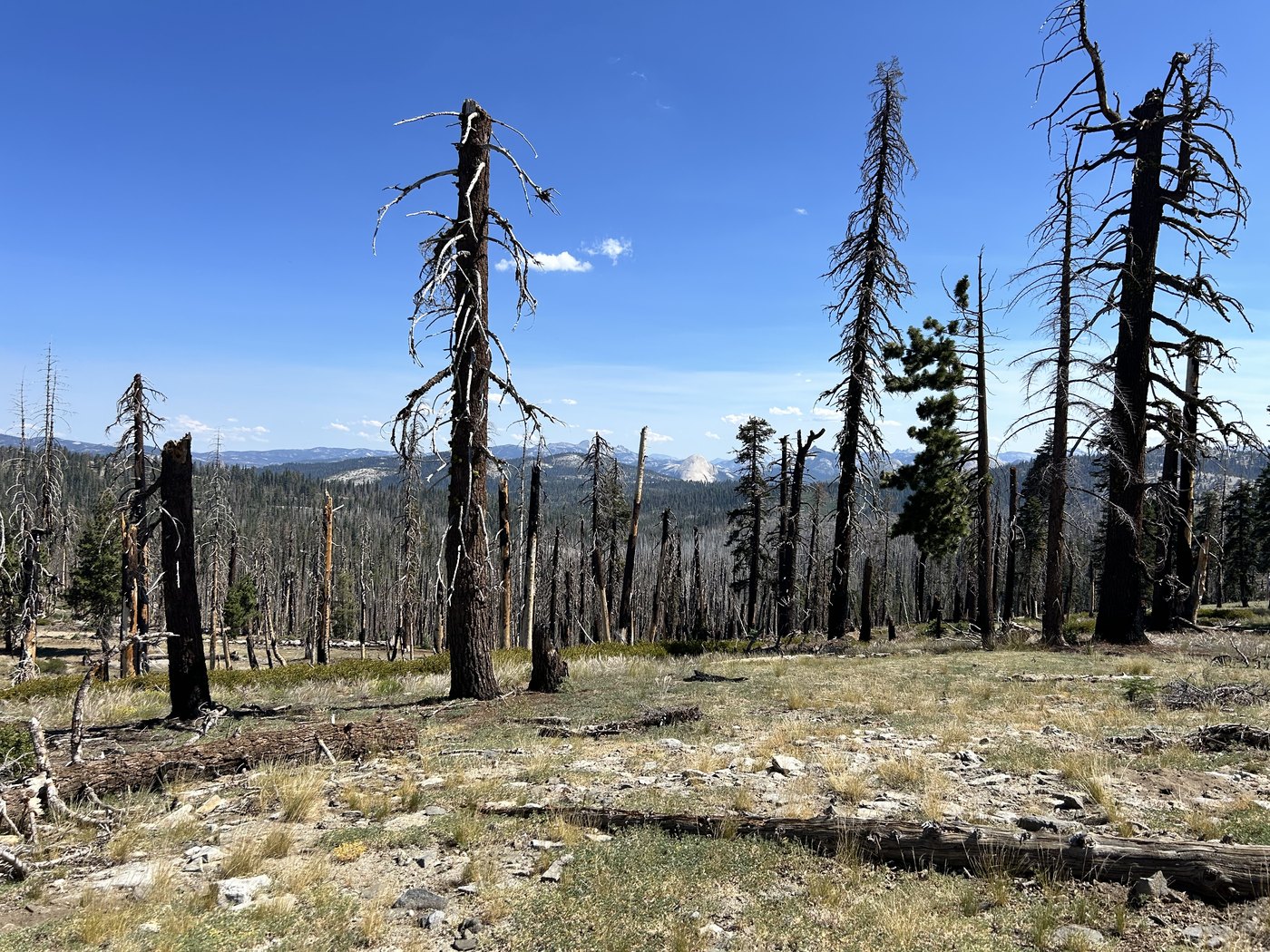
Ten past ten, the burn stretching in every direction. Half Dome stood clear through the one gap in the dead trunks all morning.
At half past ten a gap opened in the dead trunks and Half Dome stood clear across the canyon, gray and enormous and entirely unbothered by whatever had burned around us. Given the hours before that view and however many came after, the gap in the trees was the only sight all morning that felt like a reward instead of one more hazard to step around.
The live canopy came back gradually, not all at once, a few green trees among the gray and then more of them, and by early afternoon we were walking under real shade again for the first time since the meadow. We reached the trailhead at ten past one.
We were on the road within the hour. Yosemite to Santa Cruz is most of a day's drive, west out of the park and down through the Central Valley, and I reached the coast in time for dinner with family who had no burn scars or ticks to compare notes about. By twenty to seven that evening I was leaning on a railing above the beach in the same shirt I had worn out of the mountains, ocean on one side, volleyball nets and boardwalk lights on the other.
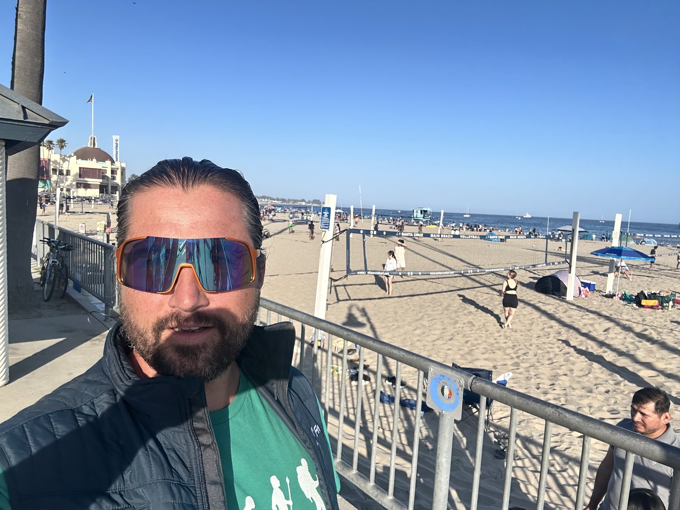
Twenty to seven that same evening, Santa Cruz. Same shirt, entirely different ground underfoot.
None of the navigation on that trip came from an app. We carried a paper map and a handful of screenshots of guidebook pages, and the cross-country connector above Buena Vista Lake existed only as a paragraph of text and a rough line I had to translate into compass bearings on the ground myself. Backpackers Friend now lets me draw a route like that directly onto the map before I ever leave cell service, freeform if no trail exists yet, and carry the whole plan offline rather than trusting a paragraph and a compass to agree with each other three miles into the brush.
Go through that burn early if you can, before the heat sets in, and expect the brush to have grown past whatever guidebook or map you are carrying. A paper map is still worth carrying, because a phone alone will not tell you which direction the old tread went once brush has closed over the ground.
Draw the shortcut before the brush swallows the trail
Backpackers Friend lets you draw a route freeform on the map, on or off any marked trail, cache the whole plan for offline use, and see the distance and climbing before you commit to a guidebook's idea of a shortcut. Plan the days, mark the camps, know what is still ahead. Free to start, works fully offline, no account required.
