
I Turned Around at the Third Crossing
I went up to Wawona at the end of May with the same close friend I have done most of these trips with, and above the falls we split up. He had one night in him and wanted to spend it at the water. I had two, and I wanted the long way around, up Chilnualna Creek and over the top and back down by Buena Vista. I got most of a day up that plan before a creek stopped me, and the next morning the same creek stopped me again, so I came home a night early with the loop unwalked.
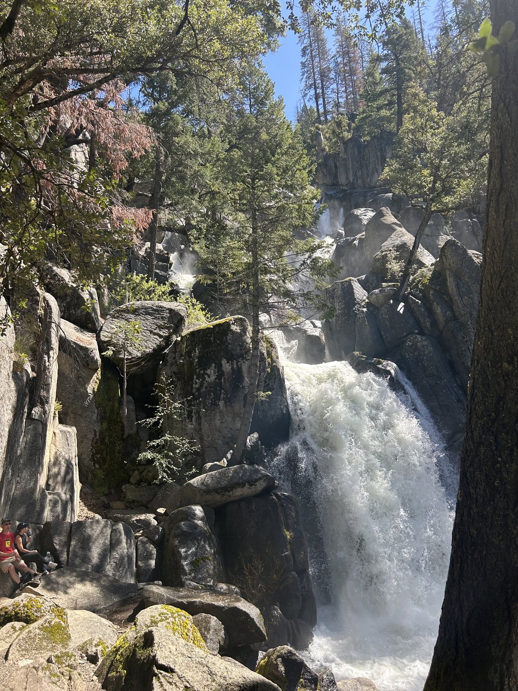
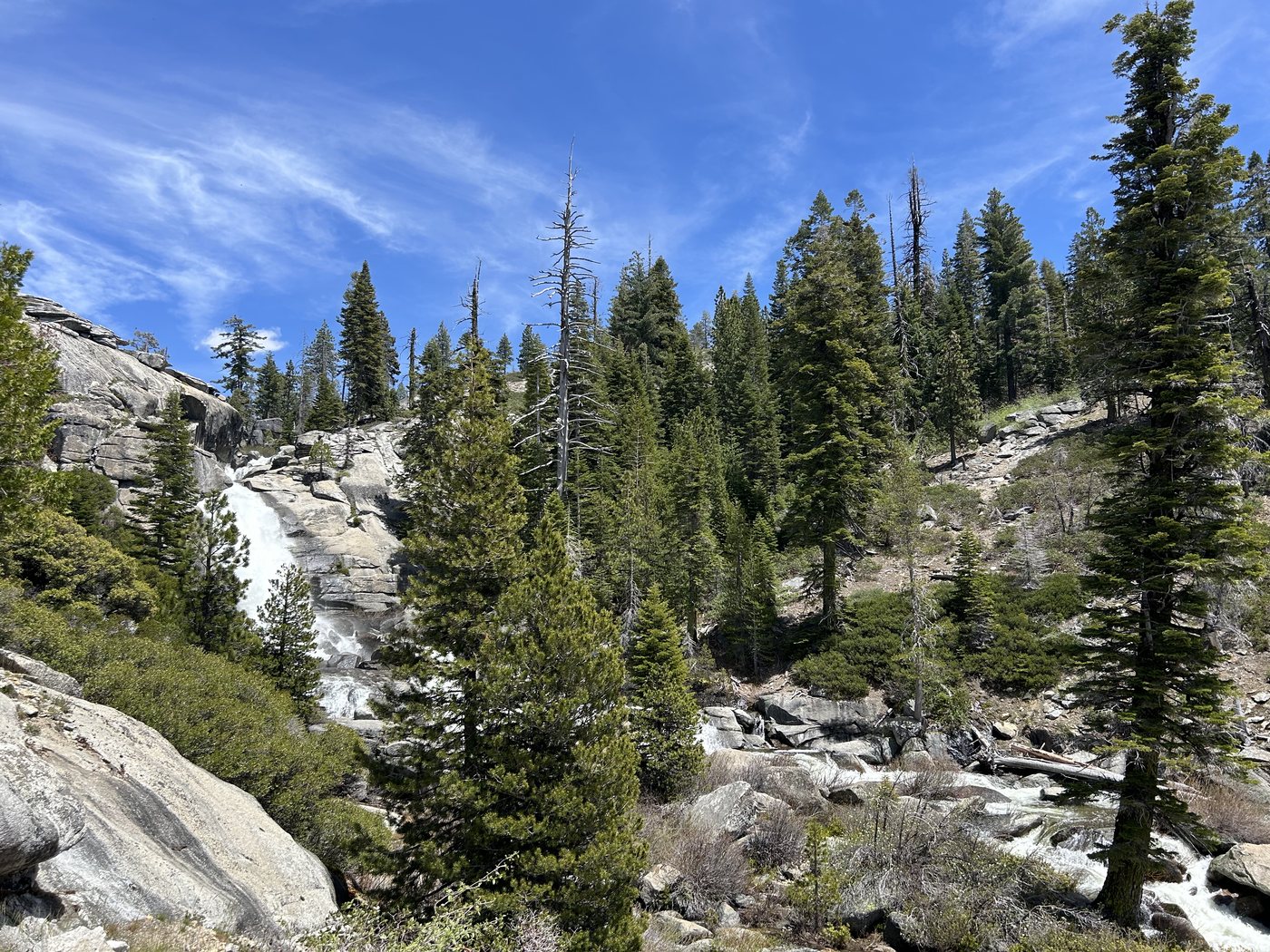
The lower cascade a short way above the trailhead, carrying everything the high country had to give. The two people on the rock at the left give you the size of it.
The drive is a hundred and twenty nine miles and about two and a half hours. I stopped in Oakhurst to put a charge in the car and to find breakfast, and at that hour Denny's was the only place with its lights on, so Denny's it was. A customer called while I was getting back on the road with something that could not wait until Monday, and I took it. I have rarely been so glad to be pointed at a place with no signal in it. Twenty minutes later the call was over, and twenty minutes after that so was the coverage.
There was a line at the south entrance, which there always is. Twenty or thirty minutes of idling under tall pines while the booth worked through it, which is a reasonable toll for what sits on the other side of the gate. We checked in with a ranger at the trailhead before we started walking, and she told us a cougar had been following small groups in the area and to keep that in mind. I said thank you, and put it out of my mind.
The falls announce themselves early. The lower cascade is barely up the trail from the parking area and in late May it was going with real violence, white through a slot in the granite and throwing spray high enough to wet the trees above it. Every waterfall in the Sierra is the same water in a different mood, and at the end of May it is all mood. The snow that had lain quiet on the high granite since November was letting go of the mountain all at once, gathering out of ten thousand small seeps and dark wet places into one white body that hit the rock and left it as smoke. You feel that in the soles of your feet before you hear it, and you hear it a long way before you see it.
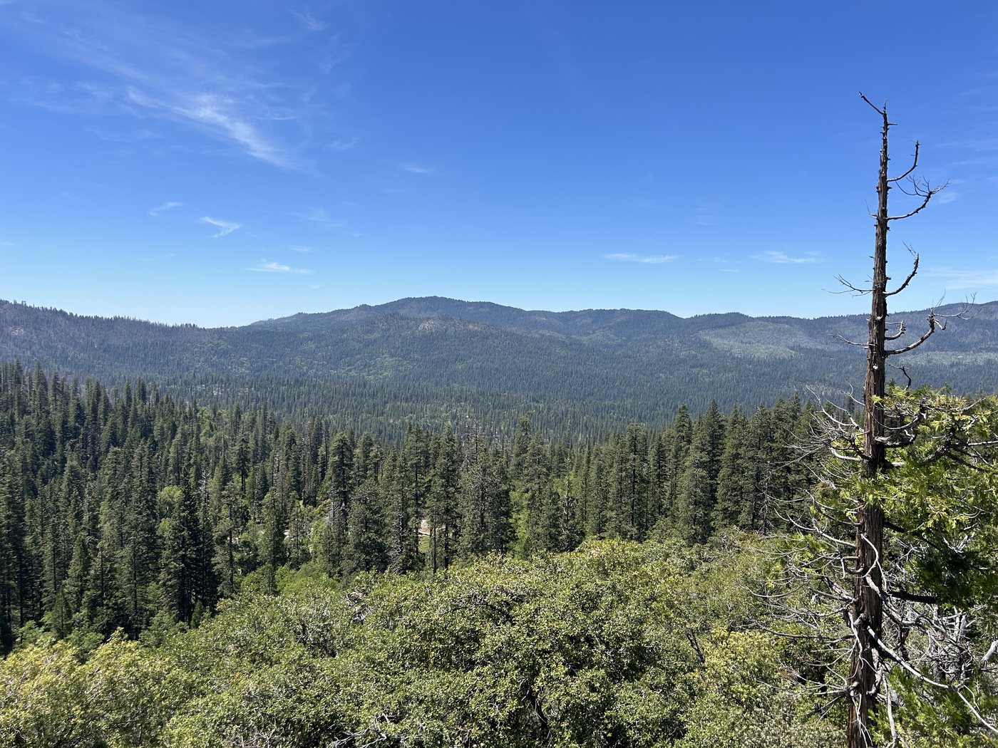
The Wawona basin opening up behind us. You get a lot of this view, because you spend a long time earning it.
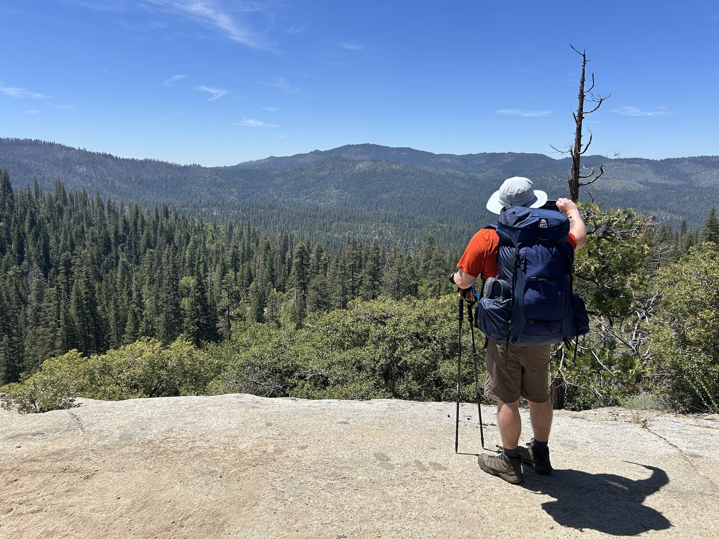
Above the cascade the trail goes to work. It climbs about four miles and two thousand feet to the top of the falls, out of the oaks and onto open slab, and the whole Wawona basin opens up behind you as you go. Wawona Dome stands across the drainage at a little under seven thousand feet, gray and bald and turning slowly as you climb past it. We were in no hurry. We stopped where the stopping was good.
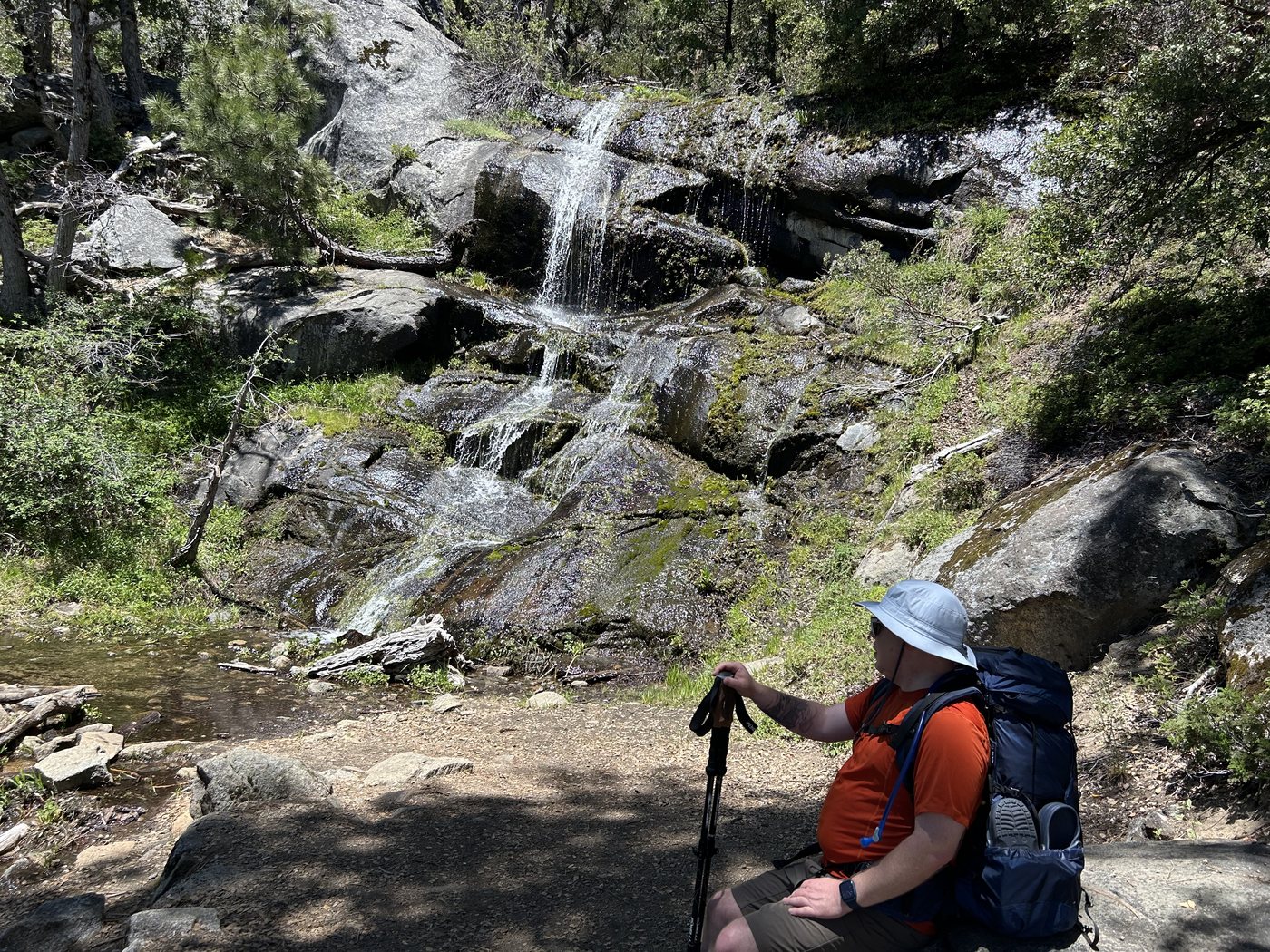
A side cascade coming down a face of wet moss in half a dozen separate threads, which is about the right place to take a pack off.
Higher up, the creek comes down over bare granite in wide shallow sheets and the trail crosses it in the open. We took our boots off and put our feet in, which at snowmelt temperature is a brief and extremely clarifying experience. There is a photograph of the two of us sitting on that rock at one minute past two in the afternoon, both of us squinting, both of us pleased with the day. We split up a few minutes later, worked out roughly when each of us would be back at the car, and walked off in opposite directions.
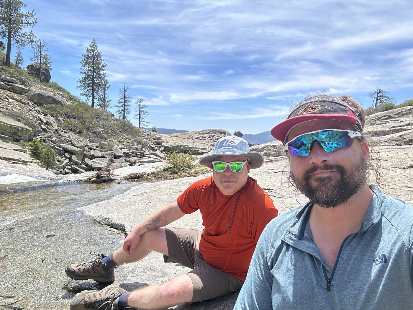
Two in the afternoon on the slabs, a few minutes before we went our separate ways.
The plan asked me for a crossing before it asked me for anything else. Chilnualna Creek in that stretch at the end of May is not a creek in any useful sense of the word. It was thigh high and moving, and the whole time I was in it the water leaned on my legs and hunted for a way to put me down. I had crossing shoes on and my pant legs zipped off at the knee, so the creek only got the hem of my shorts. I got over. On the far bank I packed the wet shoes away, dried my feet, and put my boots back on, and sitting there I understood that I had just spent something out of the day that I would not be getting back.
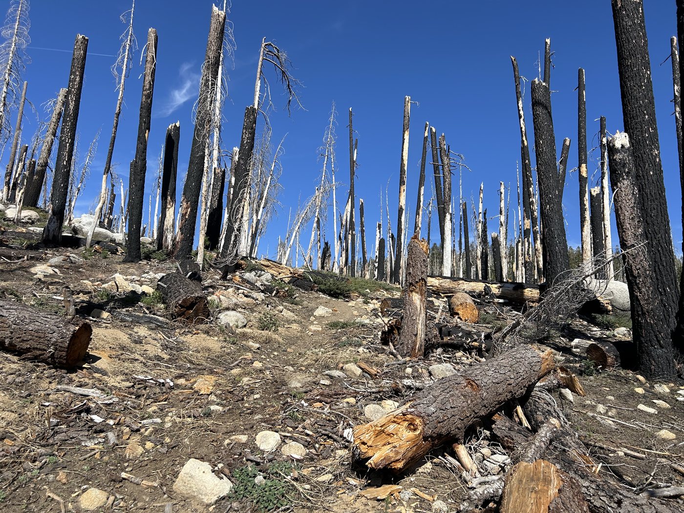
Then the trail went into burned country, and burned country is where the day came apart. Whole stands of it were standing dead, black trunks with the bark gone and the branches long since down, and everything the wind has taken off them in the years since was lying across the route. The trail was on the map. The trail was under my boots. Between those two facts it was also under three feet of fallen pine every hundred yards. The climb turned into an acrobatics course. Over, under, get the pack up first, straddle the trunk like a cowboy and swing the far leg across, drop down, find the tread, do it again. Miles of it, all uphill, in the warm part of the afternoon, and by the end of it I was more tired than the distance had any right to make me.
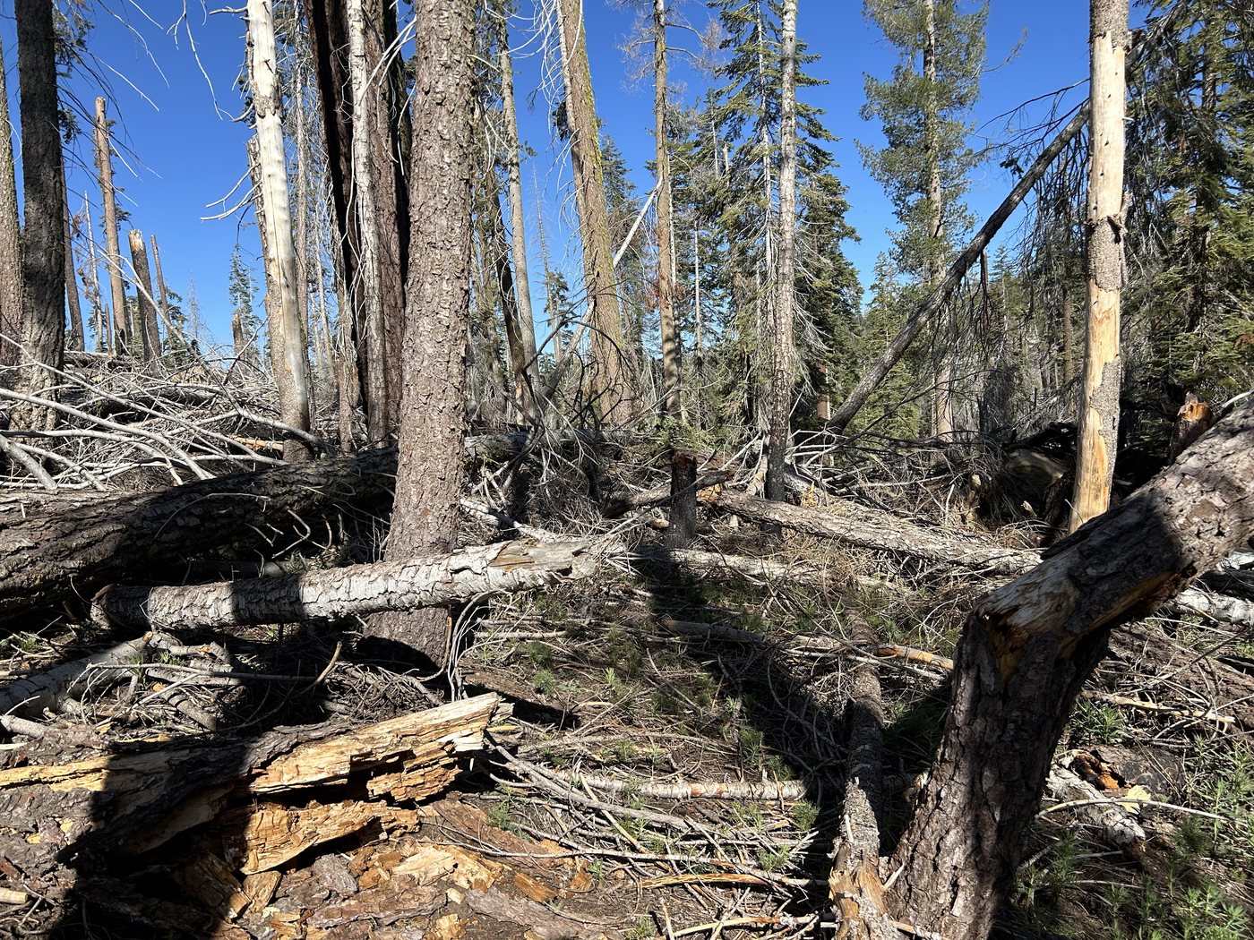
This is what most of the climb looked like. The tread is in there somewhere.
Three separate times I lost the trail entirely. That is how it goes in blowdown. You climb a trunk aiming for the tread you can see on the far side, you come down ten feet off it, you push through duff and branches for another fifty looking for it, and now you are properly turned around with no tread anywhere and every direction through the dead trees looking exactly like every other one. All three times I got the phone out, found myself against the line on the map, and walked back onto it. That took a minute each time. Without it I would have been standing there a great deal longer, going the wrong way with real confidence.
The second crossing came and went. At about five in the afternoon I came down to the third and stood on the bank and looked at it for a long while. It was wider than the first one and it was deeper, and I had already spent the day getting there. I decided I was not going to make that crossing tired, at that hour, by myself, with nobody on either bank to fish me out. I made camp on my own side of it.
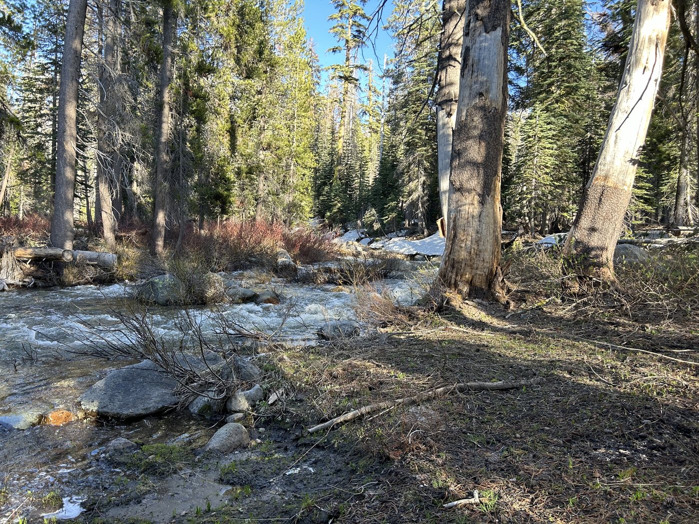
The third crossing at half past six. There was still snow on the far bank, which was the whole explanation for what the creek was doing.
There was old snow still lying under the pines on the other side, gray and collapsing, with the water running full out from under the edge of it. That is a Sierra spring in a single look. The creek in front of me had been snow that morning and would be down in the Merced by the weekend, and standing on the bank you are simply watching the mountain hand the winter back.
I remembered the ranger and her cougar while I was making dinner, and I ate with my back against a tree and my eyes on the open ground. Nothing came. The creek was loud enough all night that nothing would have had to be quiet about it.
In the morning I went down to the water to get across and get on with the loop. I waded in and it came up past the point where I was willing to have it, and the push was worse than the day before because the night had been warm and the snow above me had gone on melting in the dark. I backed out. A little way upstream a log lay across the channel, thin and wet and running with spray off the water going under it. I got onto it on my hands and knees and slipped immediately.
I did not go in. I sat on that log with the creek moving underneath me and thought, calmly and in detail, about being swept down into the timber below and pinned there. There was nobody within miles. My friend was already off the mountain and driving home. Nobody would have started looking until I failed to turn up at the car, and by then it would have been the next day. I got off the log, put the pack back on, and walked out.
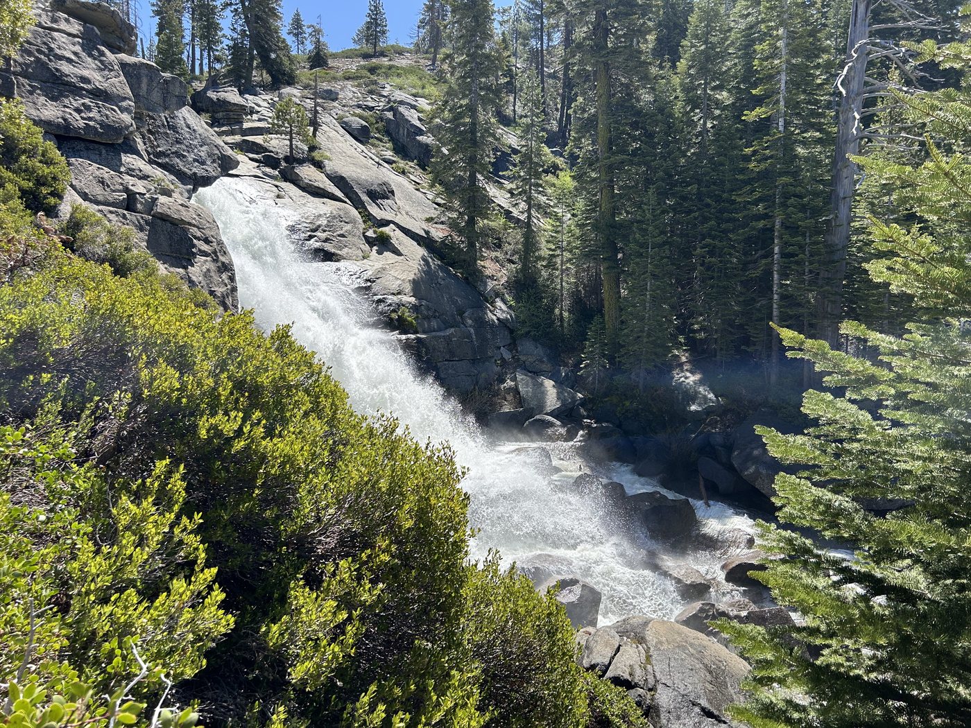
The upper falls across the canyon on the way down, dropping clear off the lip and coming apart in the air.
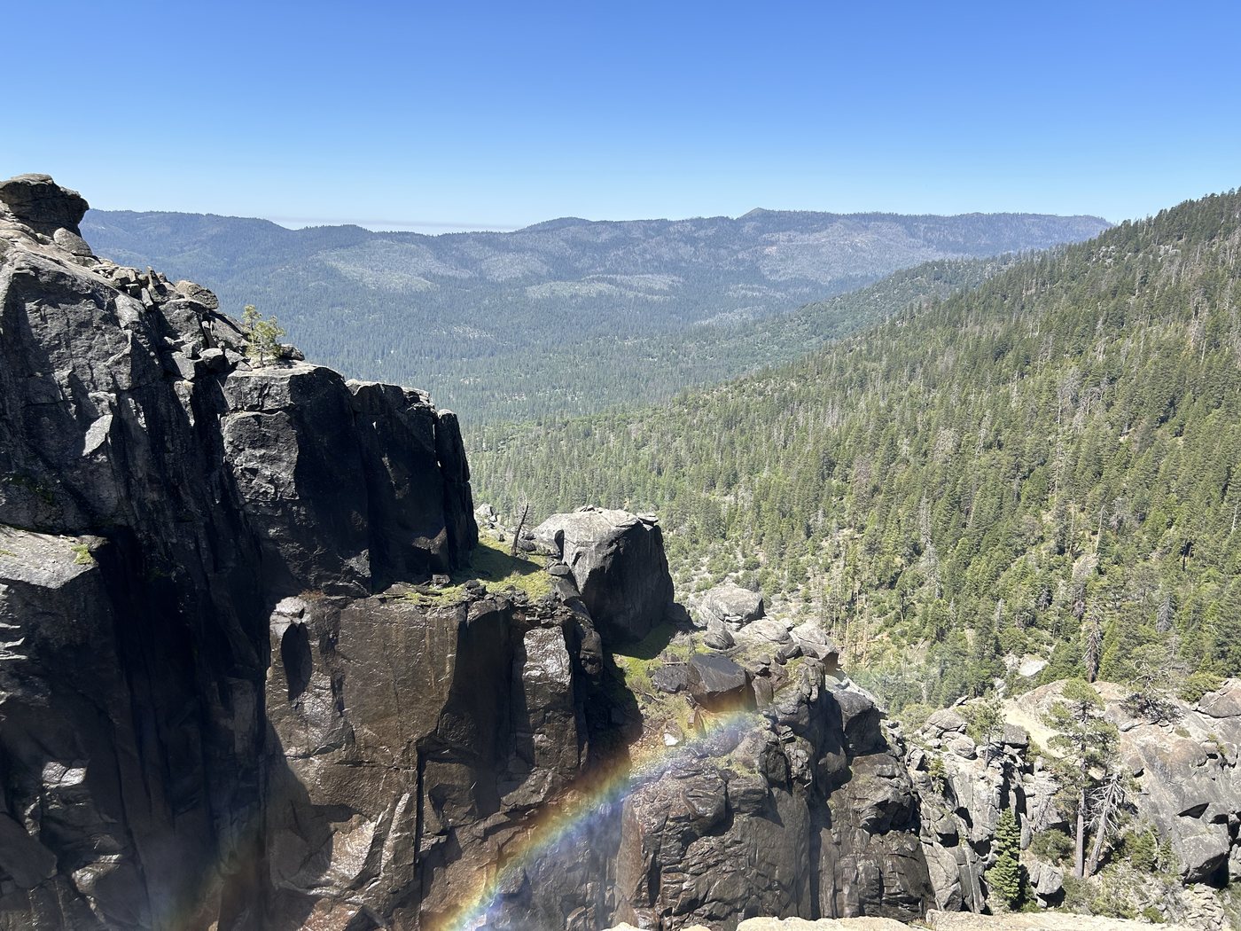
The country was in a better mood on the way out than I was. The upper falls come into view across the canyon on the descent, a single white column leaving the lip and losing its shape halfway down without touching anything. Below that, where the creek turns into the gorge, the sun had got around far enough to stand a full rainbow in the mist, and it hung there in the middle of the air over nothing at all for as long as I cared to sit and watch it. Muir would have said the mountain was being generous. It felt more like being seen off politely.
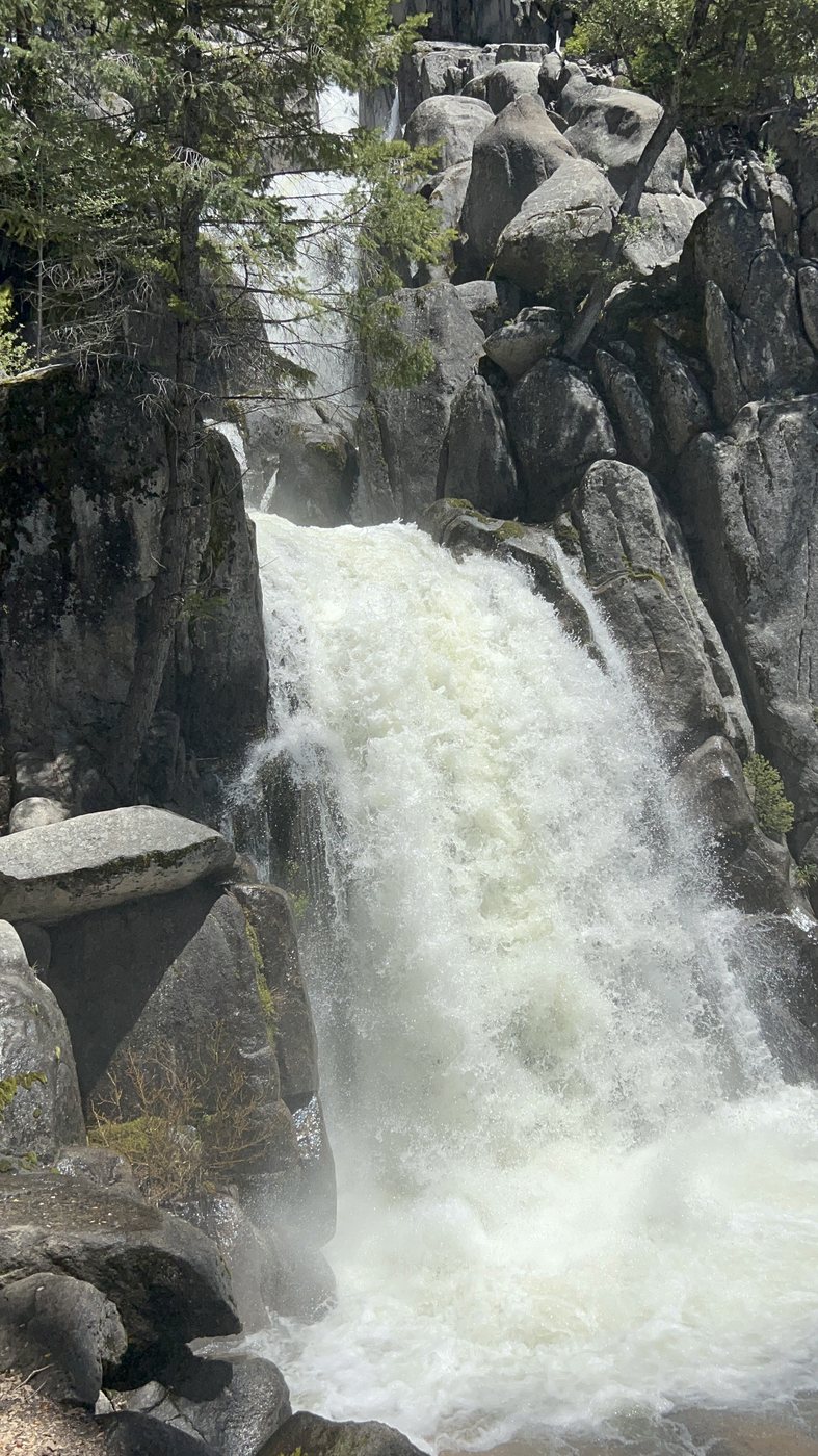
The main falls again on the way down, close enough to feel it in the rock underfoot.
I was back at the car just before three, and home a hundred and twenty nine miles later. The recorder had fifteen and a third miles and three thousand six hundred feet of climbing on it for the whole trip, which is a modest number for how much of me it took.
Turning around at that creek was the correct decision and I have never once second-guessed it. The part I keep going back to is the afternoon before, in the blowdown, when the trail stopped existing three times in a row and what put me back on it every time was a map on a phone with nothing behind it. I was using somebody else's app that day, and on that count it did its job.
What I wanted, standing on a dead trunk with my heart going and no tread in any direction, was for the phone to tell me the moment I came off the route instead of waiting for me to notice and ask. Backpackers Friend does that now. It watches how far you are from your line while you walk and it speaks up when you drift. It caches the map for the trip before you leave, so the map and your position both work in a burn scar with no signal for twenty miles. And it holds the whole plan, the days and the camps and the climbing that is still ahead of you, so that the version of you standing at a crossing at five in the afternoon can look at what is left and make an honest decision about it.
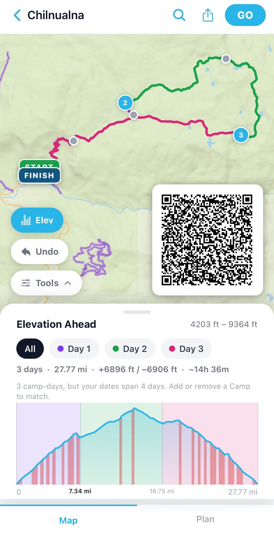
The loop I did not finish, laid out in the app. Twenty seven and three quarter miles over three days, from four thousand two hundred feet at the trailhead to nine thousand three hundred and sixty four at the high point. Scan the code with a phone camera to open the trip.
The creek will be lower by August and the crossings go from serious to ordinary. If you go in May, go with somebody, and count the crossings on the way in so you know how many are between you and the car.
Know where you are, and know what is still ahead
Backpackers Friend caches your route before you leave, keeps your position working where there is no signal, and tells you when you have wandered off the line. Plan the days, mark the camps, see the climbing that is left. Free to start, works fully offline, no account required.
