
The Water Was Running Over the Bridge
This was the third of these trips with the same close friend, and the first that felt like a real undertaking rather than a rehearsal for one. There were three of us this time, the two of them being people I have walked a good deal of country with, and the plan was two nights at the north end of Yosemite. We would walk in along Hetch Hetchy Reservoir to camp at Rancheria Falls, and come back out the way we came. The trip was his idea. He had been in on day trips and wanted to stay long enough to actually look at the place, which is the correct instinct about almost anywhere worth visiting.
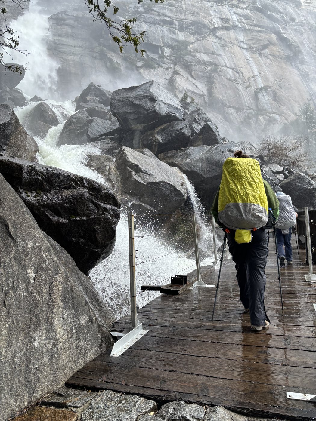
The Wapama Falls footbridges in late April. The water comes over the deck and straight through the cable rail, and the noise makes conversation pointless.
We drove in through Yosemite Valley on the Wednesday, which was the first time I had ever been there. The first sight that met us was a great column of smoke standing over a green meadow, and it turned out to be CalFire managing the forest on purpose rather than a wildfire getting away from someone, which is a much better way to meet a smoke column than the way I met one in Desolation a few years earlier. Then the valley itself, which does not disappoint and is not made any smaller by the number of photographs of it you have already seen. El Capitan stood up out of the trees with its top in the cloud, Bridalveil was going hard on spring melt and throwing its lower half into the air as mist, and the whole place was markedly less crowded than I had braced myself for.
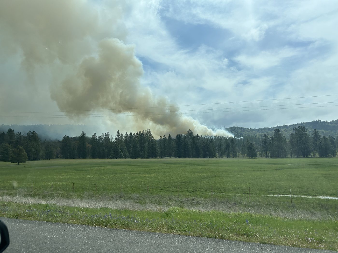
The smoke column on the drive in, which was CalFire putting fire on the ground deliberately rather than chasing it.
We also stopped and photographed the sign outside Degnan's Deli, for a reason no stranger could be expected to follow. A senior executive at the company I work for happens to be named Degnan, and at four in the afternoon in a national park that struck all three of us as extremely funny.
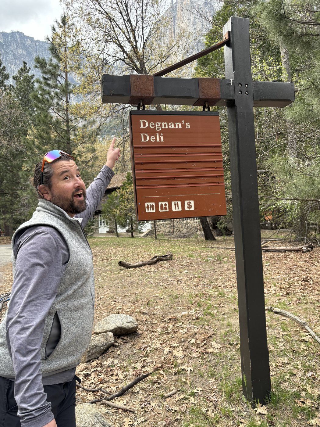
The photograph in question. Roughly nobody outside my office will find this funny, and I took it anyway.
Then we drove north and west and around to Hetch Hetchy, and slept at the backpacker campground by the dam. The spillway was running that evening, throwing a white sheet of water down the rock beside the wall, and the light went pink and then gray up the canyon while we sorted out dinner. A newt came out onto the wet pavement at half past seven and made its slow, entirely unbothered way across, and we all stood around and watched it as though we had never seen an animal before.
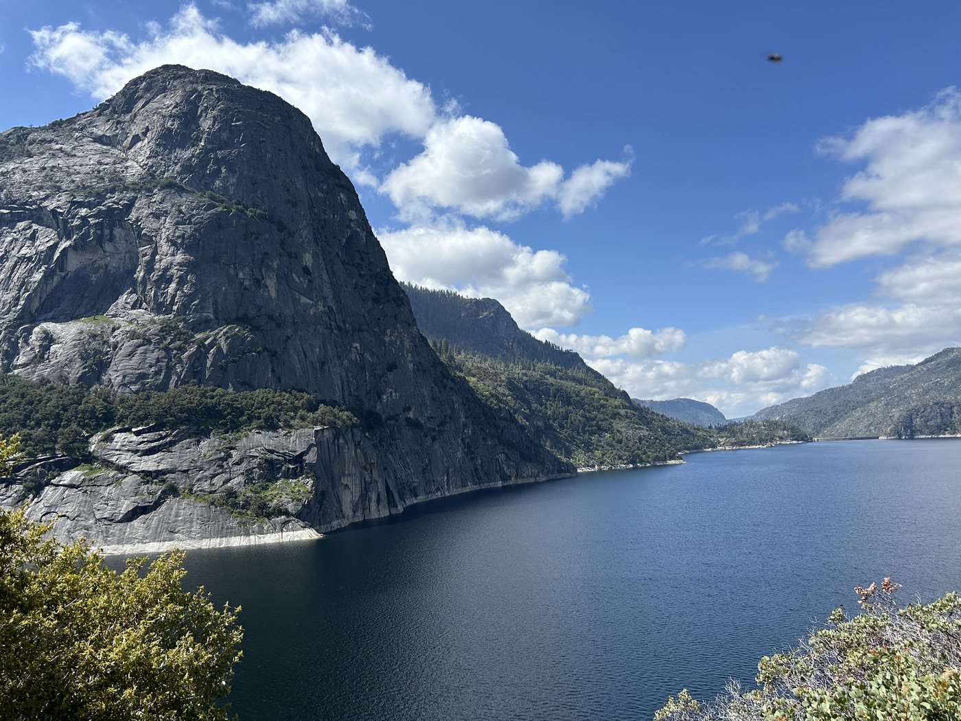
Hetch Hetchy was a valley. It had its own meadows, its own walls, its own falls coming off them, a near twin of Yosemite, and it is under the water you are looking at. The dam was authorized in 1913 over Muir's loudest objection. He spent his last years fighting it and died the following winter. You walk the whole trip along the top of that argument. The water is beautiful. It is beautiful the way a cathedral is beautiful when you understand it was forced upon you, and the granite above the waterline still describes, quite precisely, the shape of what is underneath.
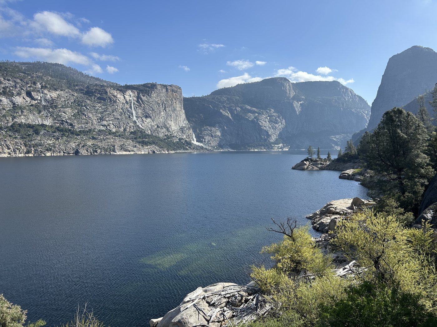
The reservoir on the Thursday morning. The waterline across the granite marks the top of the valley that is down there.
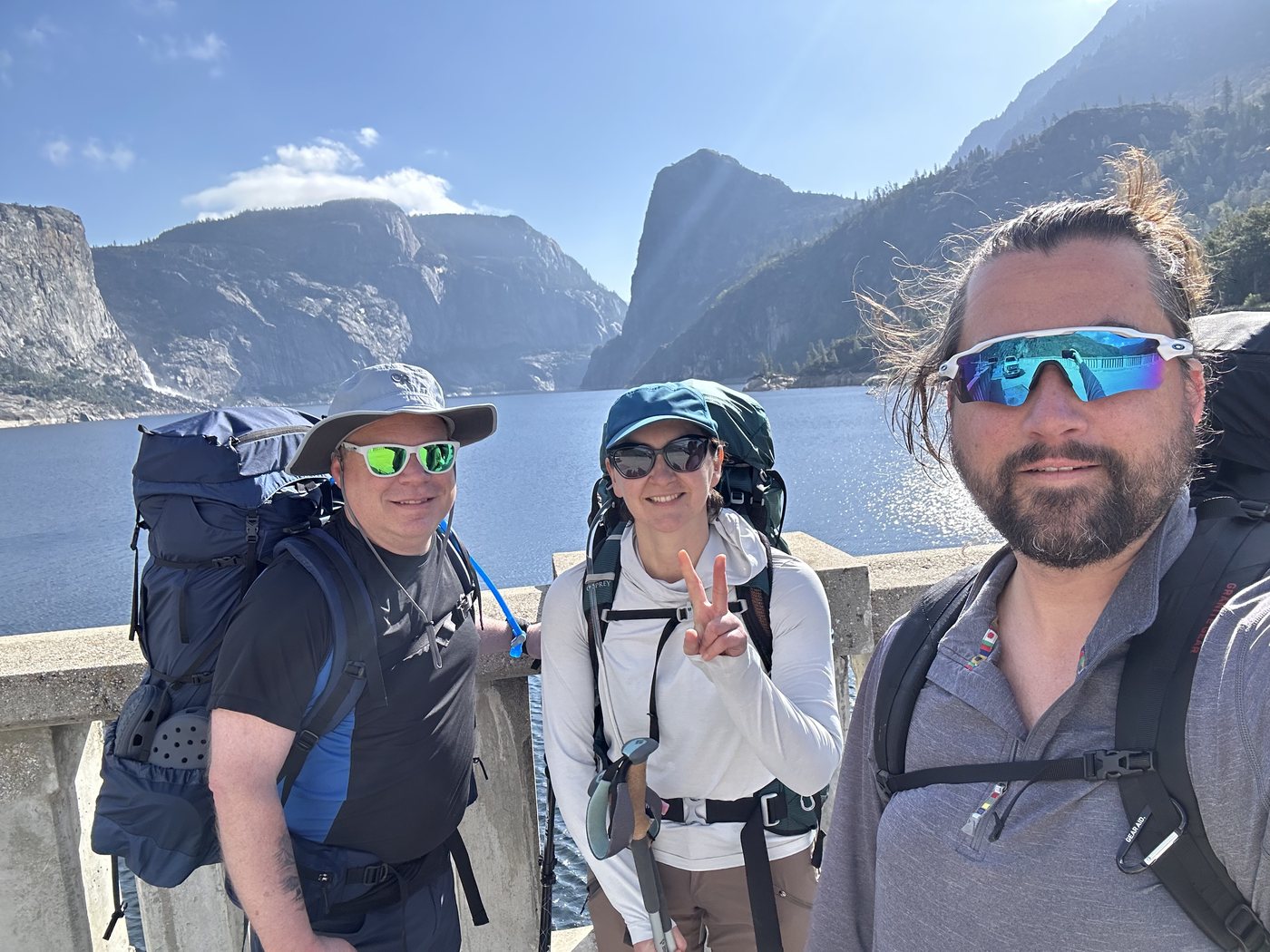
On the dam at nine in the morning with the packs on, about to start the walk east.
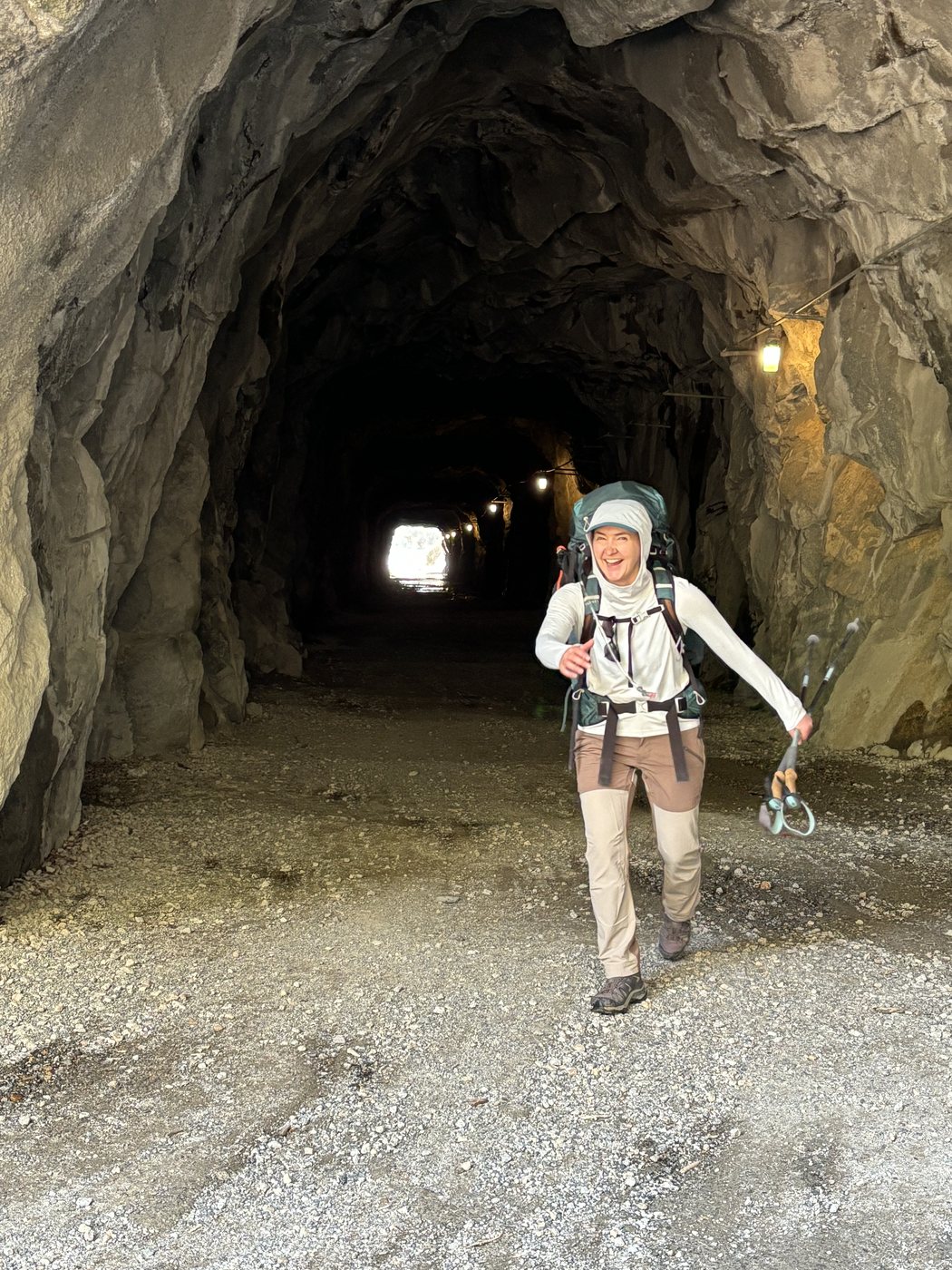
Thursday came up brilliant, which after the previous few months of weather felt like a personal favor. You cross the top of O'Shaughnessy Dam to start, with the reservoir on one side and a long drop on the other, and then the trail goes straight into a tunnel bored through the rock, lit at intervals and cold and dripping, and comes out on the north shore in full sun.
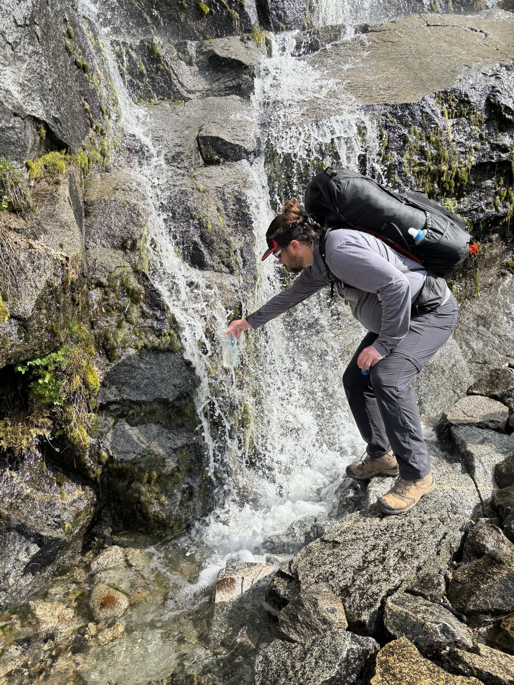
From there the trail runs east along the water for about six and a half miles, staying between roughly 3,800 and 4,700 feet the whole way, which sounds gentle and mostly is, apart from where it goes up over benches of open granite and makes you earn the view back down the reservoir. Kolana Rock sits across the water and turns as you walk, so that the same piece of stone is a fin, then a dome, then a blunt gray tooth, and there is no point at which it stops being worth another photograph. In late April the whole north wall was running with water, and every gully along it had its own cascade going. The first of them comes down across the trail itself in a thin cold curtain that you simply walk through, there being no way around it and no particular reason to want one.
Tueeulala comes a little further on, and it is a wholly different kind of water. A single narrow ribbon leaves the top of the wall and falls most of its height without touching anything at all, so the wind has time to get into it and take the bottom third apart, and what finally arrives at the slabs is a wide soft fan rather than a column. It is seasonal, too. Come in August and there is a dark stain on the granite where this was.
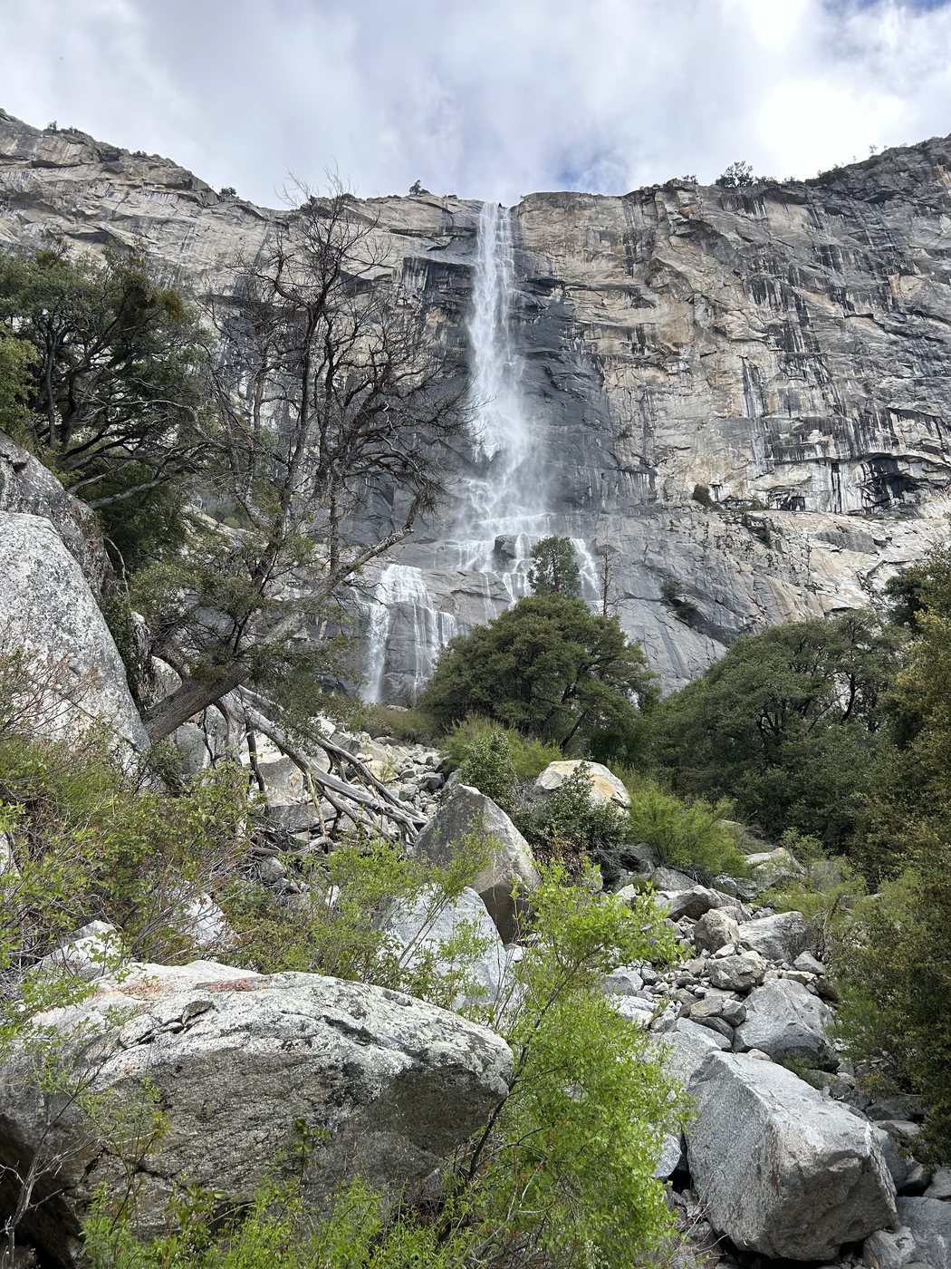
Tueeulala in late April, falling the whole height of the wall in one ribbon and coming apart on the way down.
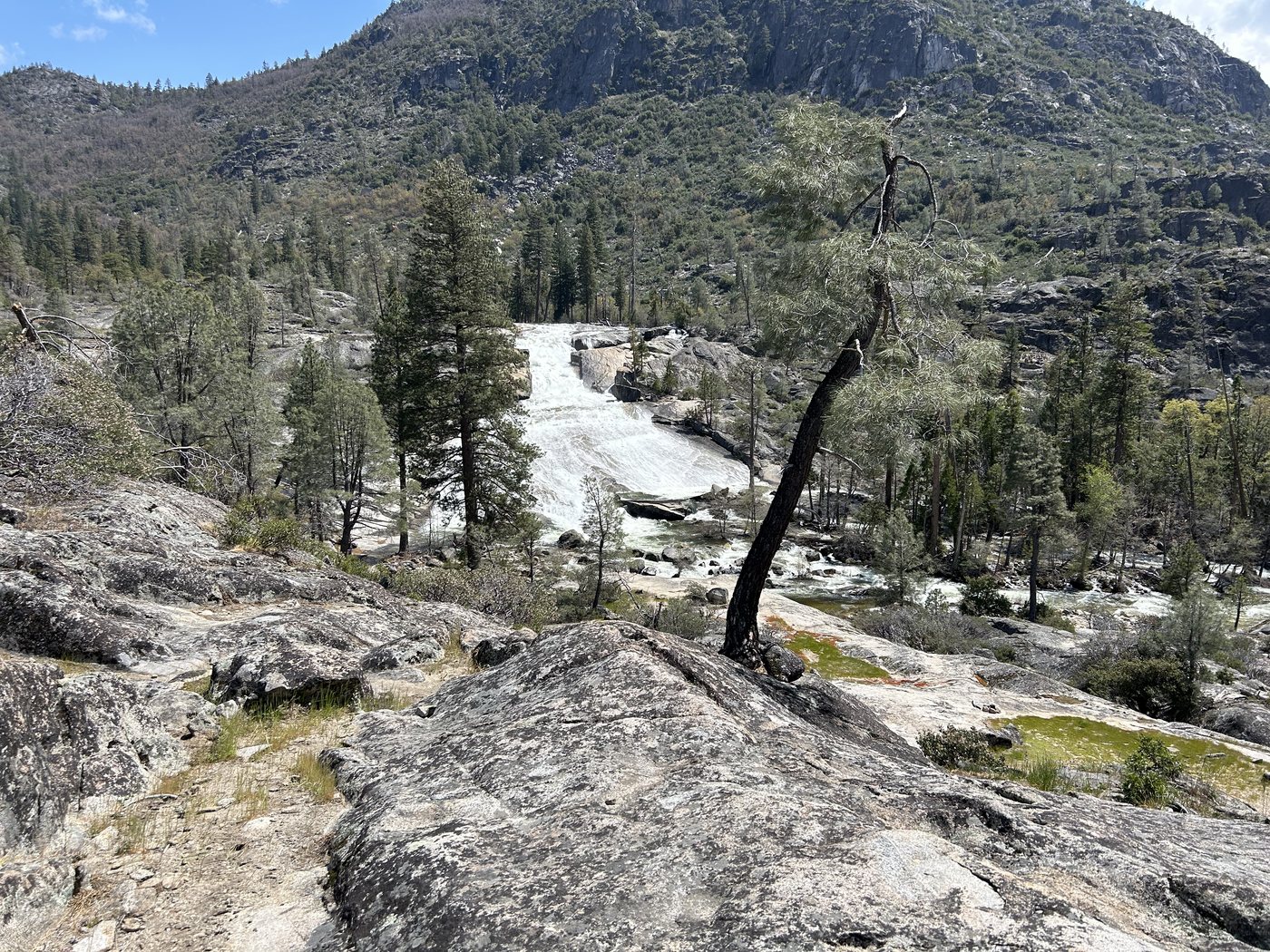
And then there is Wapama, which is a different order of waterfall. It comes off the wall in a series of drops and lands on the boulder field the trail has to get across, and the trail gets across it on a set of wooden footbridges built right in the path of the water. In late April the water was coming over the decking and straight through the cable railings in sheets. It was loud enough that talking was pointless, cold spray went everywhere, and every photograph any of us took of it looks considerably more alarming than the crossing actually was.
The rangers at the dam had told us that morning exactly what to expect, which was the single most useful piece of information we got all trip. The flow across the boards never had enough push in it to move a person. We went over the way you go over anything wet and loud, one at a time and paying attention, and it was intense and enormously fun and not, at that level, a hazard. In a heavier snow year the same crossing is a genuinely serious place and gets closed outright. The question is never whether the bridges are passable in general, only which version of them is running the day you arrive. Ask at the dam. They will tell you.
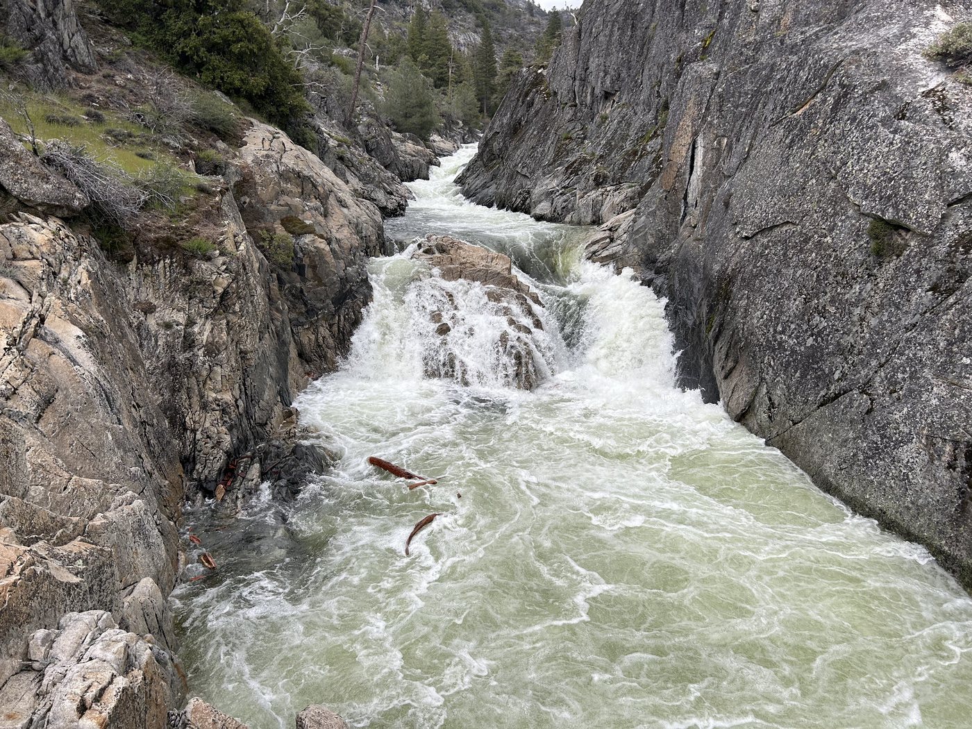
Rancheria Creek, when we got to it in the early afternoon, was in flood. It comes down a long apron of bare granite in a wide white fan, spreading and braiding across the rock and then gathering itself into a gorge below, and there is so much of it that the sound arrives well before the sight does. We had the whole afternoon, which was the entire point of coming for two nights instead of one, so we spent it wandering up and down the slabs looking at water from different angles like people at an exhibition.
At some point in the middle of that afternoon I announced to the group that I was going to go and enjoy nature, and then I went and took a bath in it. It was snowmelt in April and it was, accordingly, extremely cold, which lasts about ninety seconds and then converts into something else entirely. Bathing outdoors with nothing on at all is one of the great underrated pleasures available to a person, and I would encourage anyone who gets a clean shot at it not to let the moment pass on grounds of dignity. Dignity is well supplied elsewhere. There is not much granite and snowmelt and April sun.
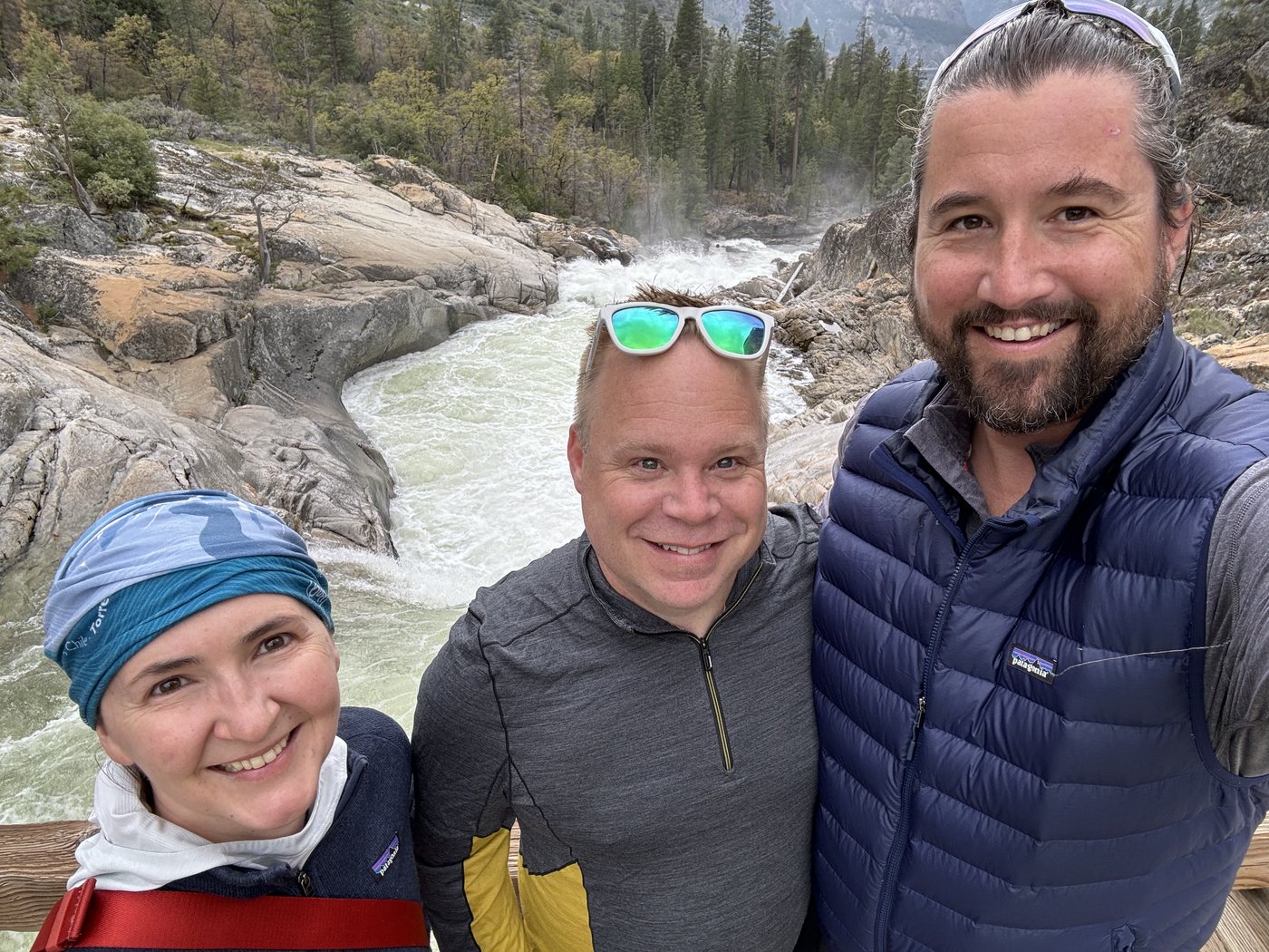
The three of us at the falls in the late afternoon, by which point the weather had begun to turn again.
It rained on Friday, and we walked out in it. The cloud came down onto the water and took the tops off the walls, and the reservoir went from blue to a flat pewter color that made the whole canyon look like a much older photograph of itself. Somewhere along the north shore the sun found a gap behind us and put a full rainbow across the water, one wall to the other, standing over a reservoir in the rain. We stopped for it. You would have stopped for it too.
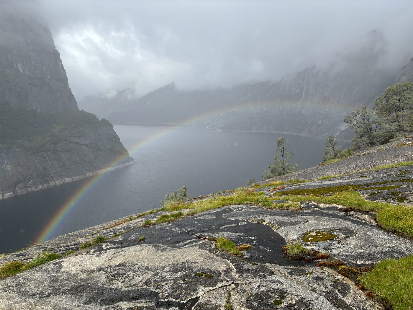
A rainbow standing on the reservoir on the walk out, which is the sort of sight that makes rain a good deal easier to forgive.
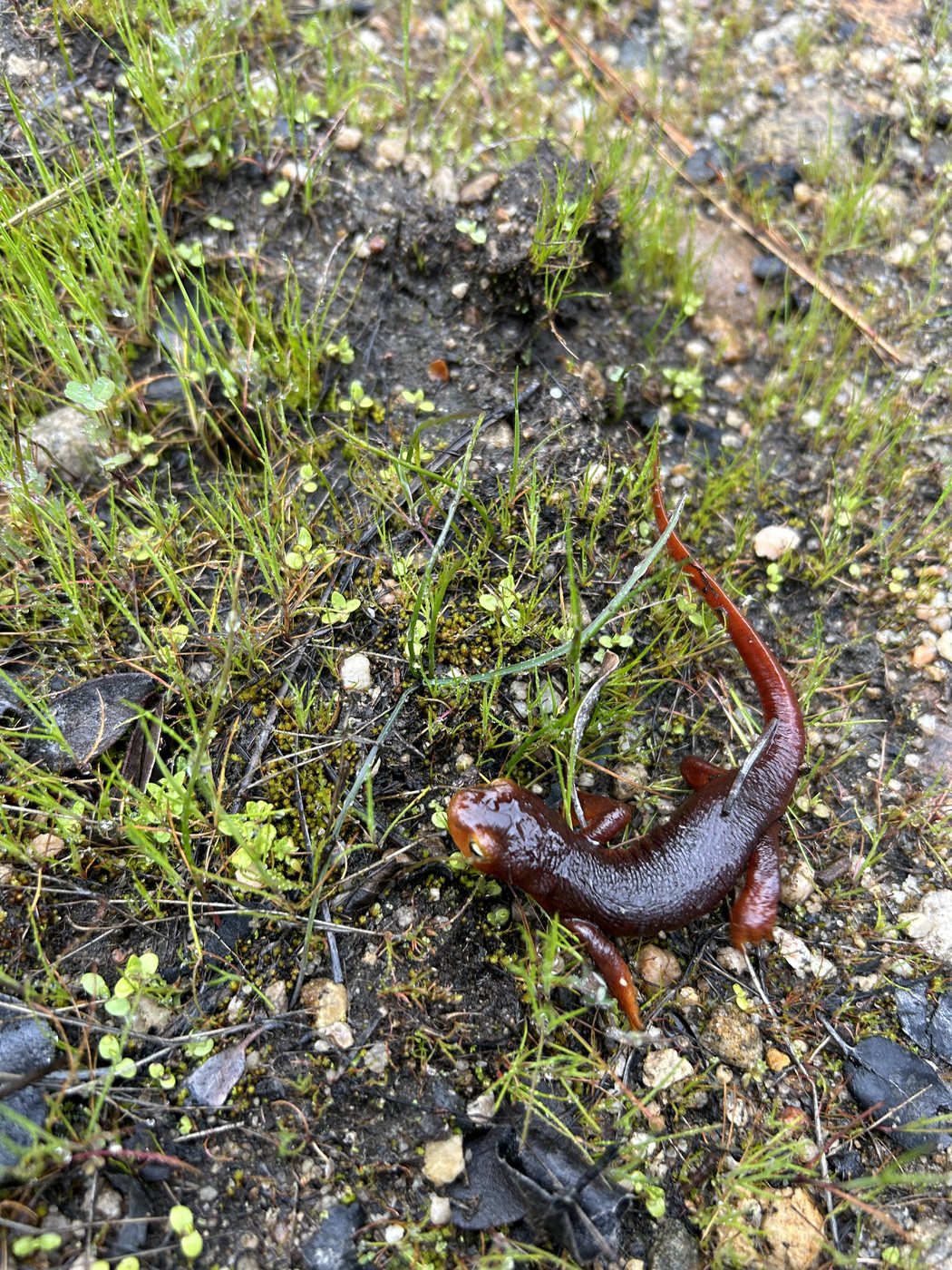
The newts were out in force in the wet, and every one of them stopped the entire group.
There is no hard-won lesson in this one. Nothing went wrong, nobody got hurt, and the weather did what April does while we walked around dressed for the occasion. What I remember mechanically is how constantly the three of us were pulling out our phones to see where we were. We were never lost, since the route is a single line along the north shore of a reservoir and losing that line would take real dedication. We checked because knowing precisely where you stand on a map is satisfying in a way that is hard to argue with, and because somebody asks how much further the falls are roughly every twenty minutes, and answering feels good. We checked, and checked, and checked again. There is no cell service anywhere in that canyon, and that absence is the part that mattered. The map has to already be on the phone, and the little blue dot has to work with nothing behind it. That habit, repeated across a lot of trips, is most of the reason the app ended up in the shape it did.
Know where you are, with nothing behind you
Backpackers Friend caches the map for your trip before you leave, so the map and your position both keep working in places like Hetch Hetchy where there is no signal at all. Plan the route, download it, and check it as many times as you like. Free to start, works fully offline, no account required.
